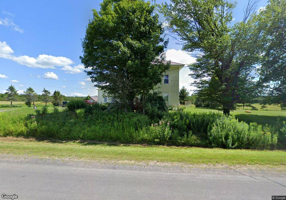
672 County Route 194 Copenhagen, NY 13626
Estimated Value: $156,787 - $270,000
4
Beds
1
Bath
1,608
Sq Ft
$132/Sq Ft
Est. Value
About This Home
This home is located at 672 County Route 194, Copenhagen, NY 13626 and is currently estimated at $211,947, approximately $131 per square foot. 672 County Route 194 is a home with nearby schools including Lowville Elementary School, Lowville Middle School, and Lowville High School.
Ownership History
Date
Name
Owned For
Owner Type
Purchase Details
Closed on
May 31, 2013
Sold by
Lucas Richard
Bought by
Olmstead John
Current Estimated Value
Home Financials for this Owner
Home Financials are based on the most recent Mortgage that was taken out on this home.
Original Mortgage
$53,500
Outstanding Balance
$10,149
Interest Rate
3.45%
Mortgage Type
Purchase Money Mortgage
Estimated Equity
$201,798
Purchase Details
Closed on
Sep 22, 2005
Sold by
Lucas Ruth
Bought by
Lucas Richard
Create a Home Valuation Report for This Property
The Home Valuation Report is an in-depth analysis detailing your home's value as well as a comparison with similar homes in the area
Home Values in the Area
Average Home Value in this Area
Purchase History
| Date | Buyer | Sale Price | Title Company |
|---|---|---|---|
| Olmstead John | $50,000 | Timothy A Farley | |
| Olmstead John | $50,000 | Timothy A Farley | |
| Lucas Richard | $50,000 | -- | |
| Lucas Richard | $50,000 | -- |
Source: Public Records
Mortgage History
| Date | Status | Borrower | Loan Amount |
|---|---|---|---|
| Open | Olmstead John | $53,500 | |
| Closed | Olmstead John | $53,500 |
Source: Public Records
Tax History Compared to Growth
Tax History
| Year | Tax Paid | Tax Assessment Tax Assessment Total Assessment is a certain percentage of the fair market value that is determined by local assessors to be the total taxable value of land and additions on the property. | Land | Improvement |
|---|---|---|---|---|
| 2024 | $2,215 | $93,500 | $24,000 | $69,500 |
| 2023 | $2,173 | $93,500 | $24,000 | $69,500 |
| 2022 | $2,417 | $93,500 | $24,000 | $69,500 |
| 2021 | $2,466 | $83,600 | $18,700 | $64,900 |
| 2020 | $1,623 | $83,600 | $18,700 | $64,900 |
| 2019 | $847 | $83,600 | $18,700 | $64,900 |
| 2018 | $847 | $83,600 | $18,700 | $64,900 |
| 2017 | $809 | $83,600 | $18,700 | $64,900 |
| 2016 | $809 | $83,600 | $18,700 | $64,900 |
| 2015 | -- | $83,600 | $18,700 | $64,900 |
| 2014 | -- | $83,600 | $18,700 | $64,900 |
Source: Public Records
Map
Nearby Homes
- 7675 Seven By Nine Rd
- 927 Cronk Rd
- 1803 County Road 194
- 8052 Hayes Rd
- 1121 Borland Rd Unit 10
- 1121 Borland Rd
- 13102 County Route 156 Unit 120
- 672 Pinckney Rd
- 25112 County Route 189
- 7087 Liberty Rd
- 10163 County Route 95
- 00 Knapp Rd
- na Underwood Rd
- 25301 County Route 93
- 23088 County Route 189
- 2107 New York 177
- 21196 County Route 69
- 16251 Sandy Creek Valley Rd
- 8595 County Route 97
- 2448 County Road 194
- 635 County Route 194
- 613 County Route 194
- 620 County Route 194
- 615 County Route 194
- 597 County Route 194
- 8608 Whitesville Rd
- 8622 Whitesville Rd
- 529 State Route 177
- 572 County Route 194
- 572 County Route 194
- 572 County Route 194
- 570 County Route 194
- 575 County Route 194
- 0 County Rte 194 Unit S1583976
- 535 State Route 177
- 569 County Route 194
- 8625 Whitesville Rd
- 8607 Whitesville Rd
- 8613 Whitesville Rd
- 505 New York 177