672 N Seed Tick Rd Dawsonville, GA 30534
Dawson County NeighborhoodEstimated Value: $568,000 - $703,000
3
Beds
3
Baths
2,262
Sq Ft
$274/Sq Ft
Est. Value
About This Home
This home is located at 672 N Seed Tick Rd, Dawsonville, GA 30534 and is currently estimated at $619,552, approximately $273 per square foot. 672 N Seed Tick Rd is a home located in Dawson County with nearby schools including Robinson Elementary School, Dawson County Junior High School, and Dawson County Middle School.
Ownership History
Date
Name
Owned For
Owner Type
Purchase Details
Closed on
Jan 27, 2003
Sold by
Ingram Nathan Joseph
Bought by
Ingram Nathan Joseph and Ingram Julayne L
Current Estimated Value
Purchase Details
Closed on
May 27, 1998
Sold by
Farmer Beverly
Bought by
Ingram Nathan Joseph
Purchase Details
Closed on
Dec 16, 1991
Sold by
Ayers Ayers T and Ayers Ellene
Bought by
Farmer Beverly
Create a Home Valuation Report for This Property
The Home Valuation Report is an in-depth analysis detailing your home's value as well as a comparison with similar homes in the area
Home Values in the Area
Average Home Value in this Area
Purchase History
| Date | Buyer | Sale Price | Title Company |
|---|---|---|---|
| Ingram Nathan Joseph | -- | -- | |
| Ingram Nathan Joseph | $21,000 | -- | |
| Farmer Beverly | -- | -- |
Source: Public Records
Tax History Compared to Growth
Tax History
| Year | Tax Paid | Tax Assessment Tax Assessment Total Assessment is a certain percentage of the fair market value that is determined by local assessors to be the total taxable value of land and additions on the property. | Land | Improvement |
|---|---|---|---|---|
| 2024 | $2,902 | $180,528 | $55,840 | $124,688 |
| 2023 | $2,903 | $166,688 | $42,520 | $124,168 |
| 2022 | $2,652 | $125,776 | $29,600 | $96,176 |
| 2021 | $2,520 | $113,396 | $29,600 | $83,796 |
| 2020 | $2,587 | $111,316 | $30,080 | $81,236 |
| 2019 | $2,452 | $104,756 | $30,080 | $74,676 |
| 2018 | $2,458 | $104,756 | $30,080 | $74,676 |
| 2017 | $1,930 | $82,713 | $19,463 | $63,250 |
| 2016 | $1,844 | $79,110 | $19,463 | $59,647 |
| 2015 | $1,860 | $77,357 | $17,710 | $59,647 |
| 2014 | $1,636 | $66,204 | $17,710 | $48,494 |
| 2013 | -- | $57,823 | $17,710 | $40,112 |
Source: Public Records
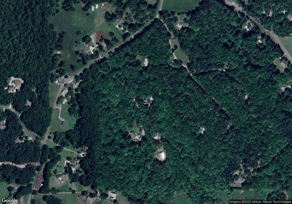
Map
Nearby Homes
- 106 Highway 136 E
- 0 Highway 9 N Unit 10600540
- 00 Ga-136 Tract 2
- 237 Highway 136 W
- 191+/- ACRES Georgia 136
- 134 Cicero Trail
- 2103 Highway 136 E
- 8 Gold Dust Dr
- 10 Gold Dust Dr
- 8 Gold Dust Dr Unit 23-B
- 10 Gold Dust Dr Unit 23-A
- 42 Gold Dust Dr
- 42 Gold Dust Dr Unit 17A
- 29 Gold Dust Dr
- 23 Gold Dust Dr
- 21 Gold Dust Dr Unit 1-A
- 23 Gold Dust Dr Unit 1-B
- 62 Gold Dust Dr
- 31 Gold Dust Dr
- 42 Vickie Dr E
- 756 N Seed Tick Rd
- 98 Flea Ridge Rd
- 670 N Seed Tick Rd
- 713 N Seed Tick Rd
- 574 N Seed Tick Rd
- 640 N Seed Tick Rd
- 170 N Russell Creek Dr
- 789 N Seed Tick Rd
- 59 Indigo Ln
- 137 Flea Ridge Trail
- 488 Highway 136 E
- 56 Crooked Tree Dr
- 85 Gray Dove Trail
- 71 N Seed Tick Trail
- 0 Brooksher Cir
- 114 Crooked Tree Dr
- 47 Crooked Tree Dr
- 1070 Highway 136 E
- N N Seed Tick Rd
- 58 N Seed Tick Trail