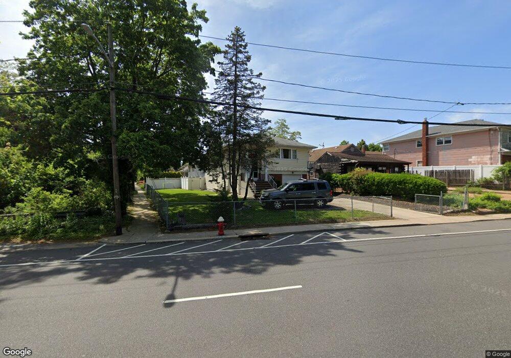
672 Nassau Blvd West Hempstead, NY 11552
Estimated Value: $837,000 - $912,021
5
Beds
3
Baths
1,214
Sq Ft
$720/Sq Ft
Est. Value
About This Home
This home is located at 672 Nassau Blvd, West Hempstead, NY 11552 and is currently estimated at $874,511, approximately $720 per square foot. 672 Nassau Blvd is a home located in Nassau County with nearby schools including Chestnut Street School, West Hempstead Secondary School, and Hebrew Academy of Nassau County (HANC).
Ownership History
Date
Name
Owned For
Owner Type
Purchase Details
Closed on
Jan 19, 2007
Sold by
Wang Xiao
Bought by
Jain Abha
Current Estimated Value
Purchase Details
Closed on
Feb 10, 2006
Sold by
Balboni Michael
Purchase Details
Closed on
Jan 5, 2001
Sold by
Gil Torres Ana Maria
Bought by
Chin Richard
Purchase Details
Closed on
Apr 23, 1999
Create a Home Valuation Report for This Property
The Home Valuation Report is an in-depth analysis detailing your home's value as well as a comparison with similar homes in the area
Home Values in the Area
Average Home Value in this Area
Purchase History
| Date | Buyer | Sale Price | Title Company |
|---|---|---|---|
| Jain Abha | $445,000 | -- | |
| -- | $405,000 | -- | |
| Chin Richard | $300,000 | Steven W Stutman | |
| -- | -- | -- |
Source: Public Records
Tax History Compared to Growth
Tax History
| Year | Tax Paid | Tax Assessment Tax Assessment Total Assessment is a certain percentage of the fair market value that is determined by local assessors to be the total taxable value of land and additions on the property. | Land | Improvement |
|---|---|---|---|---|
| 2025 | $15,642 | $561 | $261 | $300 |
| 2024 | $4,891 | $578 | $269 | $309 |
| 2023 | $15,015 | $578 | $269 | $309 |
| 2022 | $15,015 | $578 | $269 | $309 |
| 2021 | $19,985 | $552 | $257 | $295 |
| 2020 | $14,424 | $766 | $543 | $223 |
| 2019 | $13,897 | $821 | $486 | $335 |
| 2018 | $14,034 | $983 | $0 | $0 |
| 2017 | $9,742 | $925 | $582 | $343 |
| 2016 | $14,335 | $925 | $582 | $343 |
| 2015 | $4,272 | $925 | $582 | $343 |
| 2014 | $4,272 | $925 | $582 | $343 |
| 2013 | $3,984 | $925 | $582 | $343 |
Source: Public Records
Map
Nearby Homes
- 582 Gaynor Place
- 771 Maple Place
- 899 Cleveland St
- 853 Arthur St
- 518 Nassau Blvd
- 757 Harrison St
- 686 Tanwood Dr
- 600 Dogwood Ave
- 635 Hempstead Ave
- 321 Oakford St
- 726 Meisser St
- 81 Gerard Ave W
- 613 Adams Ave
- 708 Anderson Ave
- 10 Atlas Ave
- 590 Langley Ave
- 0 Rhodes Ln
- 450 Rhodes Ln
- 95 Dogwood Ave
- 73 Parkview Place
- 666 Nassau Blvd
- 596 Jefferson St
- 591 Harless Place
- 534 Jefferson St
- 656 Nassau Blvd
- 595 Harless Place
- 601 Harless Place
- 608 Jefferson St
- 699 Euclid Ave
- 679 Euclid Ave
- 576 Harless Place
- 659 Euclid Ave
- 671 Euclid Ave
- 586 Harless Place
- 592 Harless Place
- 615 Harless Place
- 600 Harless Place
- 610 Harless Place
- 640 Nassau Blvd
- 616 Harless Place