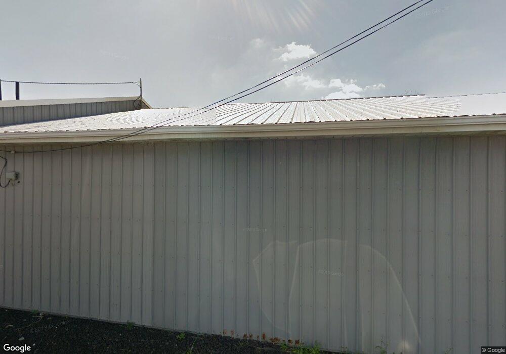
672 Springmill St Mansfield, OH 44903
Estimated Value: $83,000 - $155,652
2
Beds
1
Bath
1,536
Sq Ft
$86/Sq Ft
Est. Value
About This Home
This home is located at 672 Springmill St, Mansfield, OH 44903 and is currently estimated at $131,413, approximately $85 per square foot. 672 Springmill St is a home with nearby schools including Foundation Academy, Mansfield Elective Academy, and Interactive Media & Construction (IMAC) Academy.
Ownership History
Date
Name
Owned For
Owner Type
Purchase Details
Closed on
Dec 31, 1998
Sold by
John Robert W
Bought by
Van Enterprises Inc
Current Estimated Value
Purchase Details
Closed on
Sep 29, 1995
Sold by
Reece George W
Bought by
John Robert W
Home Financials for this Owner
Home Financials are based on the most recent Mortgage that was taken out on this home.
Original Mortgage
$90,000
Interest Rate
8%
Mortgage Type
Commercial
Purchase Details
Closed on
Apr 1, 1985
Create a Home Valuation Report for This Property
The Home Valuation Report is an in-depth analysis detailing your home's value as well as a comparison with similar homes in the area
Home Values in the Area
Average Home Value in this Area
Purchase History
| Date | Buyer | Sale Price | Title Company |
|---|---|---|---|
| Van Enterprises Inc | $100,000 | -- | |
| John Robert W | $78,500 | -- | |
| -- | $55,000 | -- |
Source: Public Records
Mortgage History
| Date | Status | Borrower | Loan Amount |
|---|---|---|---|
| Previous Owner | John Robert W | $90,000 |
Source: Public Records
Tax History
| Year | Tax Paid | Tax Assessment Tax Assessment Total Assessment is a certain percentage of the fair market value that is determined by local assessors to be the total taxable value of land and additions on the property. | Land | Improvement |
|---|---|---|---|---|
| 2024 | $3,228 | $45,300 | $5,750 | $39,550 |
| 2023 | $3,219 | $45,300 | $5,750 | $39,550 |
| 2022 | $3,621 | $45,060 | $5,230 | $39,830 |
| 2021 | $3,637 | $45,060 | $5,230 | $39,830 |
| 2020 | $3,692 | $45,060 | $5,230 | $39,830 |
| 2019 | $3,863 | $45,060 | $5,230 | $39,830 |
| 2018 | $3,845 | $45,060 | $5,230 | $39,830 |
| 2017 | $3,566 | $45,060 | $5,230 | $39,830 |
| 2016 | $3,351 | $39,330 | $5,230 | $34,100 |
| 2015 | $3,219 | $39,330 | $5,230 | $34,100 |
| 2014 | $3,184 | $39,330 | $5,230 | $34,100 |
| 2012 | $1,315 | $39,330 | $5,230 | $34,100 |
Source: Public Records
Map
Nearby Homes
- 701 Springmill St
- 480 Mcpherson St
- 0 Voegele Ave Unit Lot 6048, 6049, 6
- 0 Highway 30
- 524 Lida St
- 572 France St
- 362-364 W 6th St
- 368 W 6th St
- 580 N Mulberry St
- 492 Stark St
- 118 Raymond Ave
- 0 State Route 314 Unit 9069650
- 688 Mcpherson St
- 212 Penn Ave
- 237 Helen Ave
- 230 Rae Ave
- 169 W 5th St
- 81 Penn Ave
- 739 Armstrong St
- 641 Averill Ave
- 493 Louise Ave
- 654 Springmill St
- 491 Louise Ave
- 497 Louise Ave
- 501 Louise Ave
- 487 Louise Ave
- 509 Louise Ave
- 483 Louise Ave
- 511 Louise Ave
- 479 Louise Ave
- 646 Springmill St
- 475 Louise Ave
- 683 Springmill St
- 515 Louise Ave
- 519 Louise Ave
- 687 Springmill St
- 661 Springmill St
- 362 Harker St
- 356 Harker St
- 523 Louise Ave
Your Personal Tour Guide
Ask me questions while you tour the home.