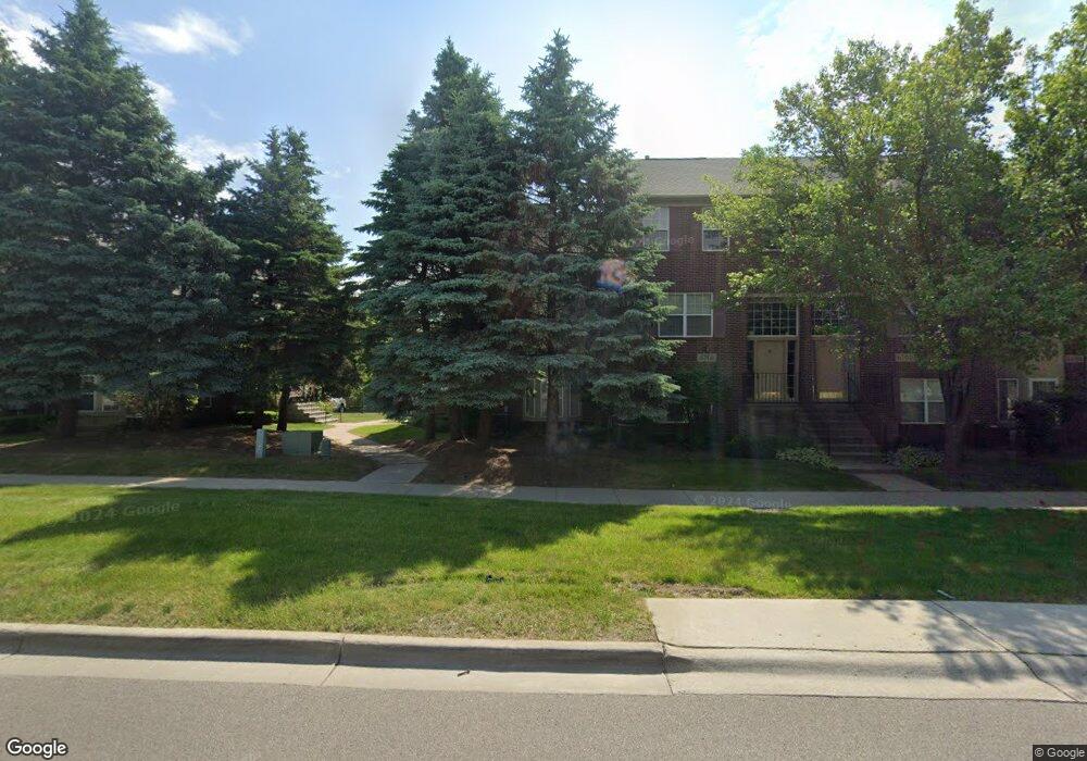
6720 Central City Pkwy Westland, MI 48185
Estimated Value: $225,000 - $290,000
2
Beds
2
Baths
2,004
Sq Ft
$124/Sq Ft
Est. Value
About This Home
This home is located at 6720 Central City Pkwy, Westland, MI 48185 and is currently estimated at $249,024, approximately $124 per square foot. 6720 Central City Pkwy is a home located in Wayne County with nearby schools including Thomas A. Edison Elementary School, Marshall Upper Elementary School, and Adlai Stevenson Middle School.
Ownership History
Date
Name
Owned For
Owner Type
Purchase Details
Closed on
Nov 27, 2017
Sold by
Blackely Karyn A
Bought by
Blakely Karyn A and Karyn A Blakely Living Trust
Current Estimated Value
Purchase Details
Closed on
Jul 26, 2012
Sold by
Skelton Moses
Bought by
Skelton Moses
Home Financials for this Owner
Home Financials are based on the most recent Mortgage that was taken out on this home.
Original Mortgage
$84,498
Interest Rate
3.65%
Mortgage Type
Commercial
Create a Home Valuation Report for This Property
The Home Valuation Report is an in-depth analysis detailing your home's value as well as a comparison with similar homes in the area
Home Values in the Area
Average Home Value in this Area
Purchase History
| Date | Buyer | Sale Price | Title Company |
|---|---|---|---|
| Blakely Karyn A | -- | None Available | |
| Skelton Moses | -- | Accommodation |
Source: Public Records
Mortgage History
| Date | Status | Borrower | Loan Amount |
|---|---|---|---|
| Closed | Skelton Moses | $84,498 |
Source: Public Records
Tax History Compared to Growth
Tax History
| Year | Tax Paid | Tax Assessment Tax Assessment Total Assessment is a certain percentage of the fair market value that is determined by local assessors to be the total taxable value of land and additions on the property. | Land | Improvement |
|---|---|---|---|---|
| 2025 | $2,308 | $110,700 | $0 | $0 |
| 2024 | $2,308 | $99,300 | $0 | $0 |
| 2023 | $2,204 | $96,100 | $0 | $0 |
| 2022 | $2,500 | $85,500 | $0 | $0 |
| 2021 | $2,437 | $82,100 | $0 | $0 |
| 2020 | $2,411 | $79,200 | $0 | $0 |
| 2019 | $2,322 | $70,500 | $0 | $0 |
| 2018 | $1,813 | $66,200 | $0 | $0 |
| 2017 | $737 | $62,200 | $0 | $0 |
| 2016 | $2,258 | $62,000 | $0 | $0 |
| 2015 | $4,489 | $50,050 | $0 | $0 |
| 2013 | $4,376 | $44,810 | $0 | $0 |
| 2012 | $2,018 | $43,940 | $0 | $0 |
Source: Public Records
Map
Nearby Homes
- 35863 Hunter Ave Unit 34
- 6541 Pembrook Dr
- 35754 Castlewood Ct
- 37186 Amhurst Dr Unit 5
- 35737 Hunter Ave
- 7370 Woodview St Unit 3
- 0 Dowling Ave
- 35601 Pheasant Ln
- 6113 N Parent St
- 6026 Wilmer St
- 7630 Woodview St Unit 2
- 6013 N Newburgh Rd
- 5889 N Globe St
- 0 N Wayne Rd
- 7051 Wayne Rd
- 5692 N Globe St
- 5834 Morley St
- 7908 Everett Dr
- 35833 Ford Rd
- 7970 Russell Dr
- 6710 Central City Pkwy
- 6700 Central City Pkwy Unit 18
- 6750 Central City Pkwy Unit 22
- 6690 Central City Pkwy
- 6760 Central City Pkwy
- 6680 Central City Pkwy Unit 16
- 6650 Central City Pkwy Unit 13
- 6650 Central City Pkwy
- 6740 Central City Pkwy Unit 21
- 6740 Central City Pkwy
- 6740 Central City Pkwy Unit 4 21
- 6770 Central City Pkwy Unit 24
- 6670 Central City Pkwy
- 833 Central City Pkwy
- 6780 Central City Pkwy Unit 25
- 6660 Central City Pkwy
- 6660 Central City Pkwy Unit 14
- 6560 Central City Pkwy
- 6790 Central City Pkwy
- 6808 Deer Run Ct S Unit 127