6720 Hempstead Ct Suwanee, GA 30024
Estimated Value: $1,122,000 - $1,292,000
4
Beds
4
Baths
3,780
Sq Ft
$323/Sq Ft
Est. Value
About This Home
This home is located at 6720 Hempstead Ct, Suwanee, GA 30024 and is currently estimated at $1,219,463, approximately $322 per square foot. 6720 Hempstead Ct is a home located in Forsyth County with nearby schools including Sharon Elementary School, South Forsyth Middle School, and Lambert High School.
Ownership History
Date
Name
Owned For
Owner Type
Purchase Details
Closed on
Jul 29, 2011
Sold by
Stanley Randall A
Bought by
Stanley Randall A and Sanford Melissa
Current Estimated Value
Home Financials for this Owner
Home Financials are based on the most recent Mortgage that was taken out on this home.
Original Mortgage
$396,000
Outstanding Balance
$273,674
Interest Rate
4.53%
Mortgage Type
New Conventional
Estimated Equity
$945,789
Purchase Details
Closed on
Nov 13, 1998
Sold by
Southern Prestige Homes
Bought by
King Kenneth A and King Raleigh H
Home Financials for this Owner
Home Financials are based on the most recent Mortgage that was taken out on this home.
Original Mortgage
$157,000
Interest Rate
6.58%
Mortgage Type
New Conventional
Create a Home Valuation Report for This Property
The Home Valuation Report is an in-depth analysis detailing your home's value as well as a comparison with similar homes in the area
Home Values in the Area
Average Home Value in this Area
Purchase History
| Date | Buyer | Sale Price | Title Company |
|---|---|---|---|
| Stanley Randall A | -- | -- | |
| Stanley Randall A | $495,000 | -- | |
| King Kenneth A | $470,200 | -- |
Source: Public Records
Mortgage History
| Date | Status | Borrower | Loan Amount |
|---|---|---|---|
| Open | Stanley Randall A | $396,000 | |
| Closed | Stanley Randall A | $396,000 | |
| Previous Owner | King Kenneth A | $157,000 |
Source: Public Records
Tax History Compared to Growth
Tax History
| Year | Tax Paid | Tax Assessment Tax Assessment Total Assessment is a certain percentage of the fair market value that is determined by local assessors to be the total taxable value of land and additions on the property. | Land | Improvement |
|---|---|---|---|---|
| 2025 | $10,255 | $513,528 | $100,000 | $413,528 |
| 2024 | $10,255 | $456,480 | $80,000 | $376,480 |
| 2023 | $9,290 | $419,840 | $72,000 | $347,840 |
| 2022 | $9,048 | $294,676 | $50,000 | $244,676 |
| 2021 | $8,137 | $294,676 | $50,000 | $244,676 |
| 2020 | $7,853 | $284,380 | $50,000 | $234,380 |
| 2019 | $7,816 | $282,644 | $50,000 | $232,644 |
| 2018 | $7,568 | $273,672 | $40,000 | $233,672 |
| 2017 | $7,143 | $257,360 | $40,000 | $217,360 |
| 2016 | $7,143 | $257,360 | $40,000 | $217,360 |
| 2015 | $6,931 | $249,280 | $40,000 | $209,280 |
| 2014 | $6,110 | $230,800 | $0 | $0 |
Source: Public Records
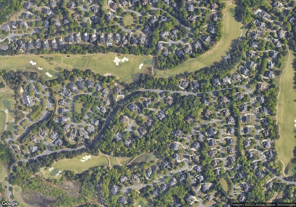
Map
Nearby Homes
- 6930 Blackthorn Ln
- 6505 Caldwell Ct
- 7025 Blackthorn Ln
- 7065 Laurel Oak Dr
- 3440 Ronnie Ln
- 5995 Ettington Dr
- 355 Laurel Oak Dr
- 5060 Brent Knoll Ln Unit 1
- 6005 Oakbury Ln
- 6010 Somerset Ct
- 3945 Preston Oak Ln
- 4840 Yorkshire Ln
- 2690 Portabella Ln
- 4790 Ashwell Ln
- 4715 Scotney Ct
- 5625 Buckleigh Pointe
- 5055 Mallory Ct
- 373 Via Secco Ln
- 2850 Brandy Ln
- 4815 Ashwell Ln Unit 2
- 6730 Hempstead Ct
- 6715 Hempstead Ct
- 6705 Hempstead Ct
- 6725 Hempstead Ct
- 6740 Hempstead Ct
- 6655 Laurel Oak Dr
- 6735 Hempstead Ct
- 6735 Laurel Oak Dr
- 6940 Kettering Ln
- 6630 Eastleigh Cir
- 6930 Kettering Ln Unit 5
- 6640 Eastleigh Cir Unit 237
- 6745 Hempstead Ct
- 6620 Eastleigh Cir
- 6750 Hempstead Ct
- 7345 Beaumont Terrace
- 6650 Eastleigh Cir
- 6810 Blackthorn Ln Unit 5
- 6745 Laurel Oak Dr
- 7355 Beaumont Terrace