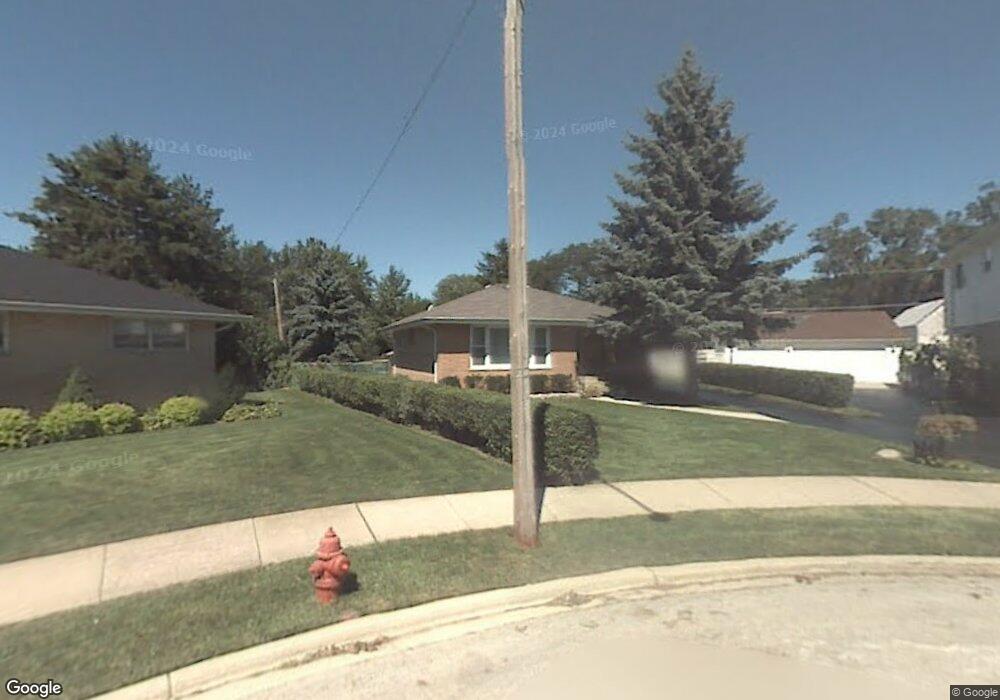
6720 Maple St Morton Grove, IL 60053
Estimated Value: $385,000 - $471,000
3
Beds
2
Baths
1,232
Sq Ft
$347/Sq Ft
Est. Value
About This Home
This home is located at 6720 Maple St, Morton Grove, IL 60053 and is currently estimated at $426,930, approximately $346 per square foot. 6720 Maple St is a home located in Cook County with nearby schools including Hynes Elementary School, Golf Middle School, and Niles North High School.
Ownership History
Date
Name
Owned For
Owner Type
Purchase Details
Closed on
Apr 16, 2020
Sold by
Rahman Mohammed and Rahman Kausar
Bought by
Rahman Mohammed and Rahman Kausar S
Current Estimated Value
Purchase Details
Closed on
Jul 12, 2018
Sold by
Devon Bank
Bought by
Rahman Mohammed and Rahman Kausar
Home Financials for this Owner
Home Financials are based on the most recent Mortgage that was taken out on this home.
Original Mortgage
$298,966
Outstanding Balance
$99,915
Interest Rate
4.87%
Mortgage Type
New Conventional
Estimated Equity
$327,015
Purchase Details
Closed on
Mar 20, 2012
Sold by
Horvath Bela I
Bought by
Horvath Bela I
Create a Home Valuation Report for This Property
The Home Valuation Report is an in-depth analysis detailing your home's value as well as a comparison with similar homes in the area
Home Values in the Area
Average Home Value in this Area
Purchase History
| Date | Buyer | Sale Price | Title Company |
|---|---|---|---|
| Rahman Mohammed | -- | Attorney | |
| Rahman Mohammed | -- | Chicago Title | |
| Devon Bank | $315,000 | Chicago Title | |
| Horvath Bela I | -- | None Available |
Source: Public Records
Mortgage History
| Date | Status | Borrower | Loan Amount |
|---|---|---|---|
| Open | Rahman Mohammed | $298,966 |
Source: Public Records
Tax History Compared to Growth
Tax History
| Year | Tax Paid | Tax Assessment Tax Assessment Total Assessment is a certain percentage of the fair market value that is determined by local assessors to be the total taxable value of land and additions on the property. | Land | Improvement |
|---|---|---|---|---|
| 2024 | $8,125 | $29,870 | $10,329 | $19,541 |
| 2023 | $8,438 | $29,870 | $10,329 | $19,541 |
| 2022 | $8,438 | $32,468 | $10,329 | $22,139 |
| 2021 | $8,045 | $27,167 | $6,356 | $20,811 |
| 2020 | $7,901 | $27,167 | $6,356 | $20,811 |
| 2019 | $7,975 | $30,525 | $6,356 | $24,169 |
| 2018 | $4,389 | $27,318 | $5,760 | $21,558 |
| 2017 | $4,328 | $27,318 | $5,760 | $21,558 |
| 2016 | $4,917 | $27,318 | $5,760 | $21,558 |
| 2015 | $5,664 | $23,261 | $4,965 | $18,296 |
| 2014 | $5,439 | $23,261 | $4,965 | $18,296 |
| 2013 | $5,473 | $23,261 | $4,965 | $18,296 |
Source: Public Records
Map
Nearby Homes
- 6712 Maple St
- 9244 Newcastle Ave
- 6909 Beckwith Rd
- 6638 Hazel St
- 9247 Natchez Ave
- 6727 Beckwith Rd
- 6619 Palma Ln
- 8929 Cherry Ave
- 7014 Church St
- 9421 Sayre Ave
- 27 Logan Terrace
- 7030 Foster St
- 8927 Belleforte Ave
- 7215 Beckwith Rd
- 7215 Lyons St
- 7207 Church St
- 7302 Ponto Dr
- 6346 Hennings Ct
- 6344 Hennings Ct
- 7303 Ponto Dr
- 6716 Maple St
- 6725 Maple St
- 6729 Beckwith Rd Unit R
- 9223 Oak Park Ave
- 6708 Maple St
- 6721 Maple St
- 9235 Oak Park Ave
- 6733 Beckwith Rd
- 9237 Oak Park Ave
- 6717 Maple St
- 6713 Maple St
- 6704 Maple St
- 9211 Oak Park Ave
- 6735 Beckwith Rd
- 6709 Maple St
- 6700 Maple St
- 9236 Lehigh Ave
- 6741 Beckwith Rd
- 6725 Beckwith Rd
- 9240 Lehigh Ave