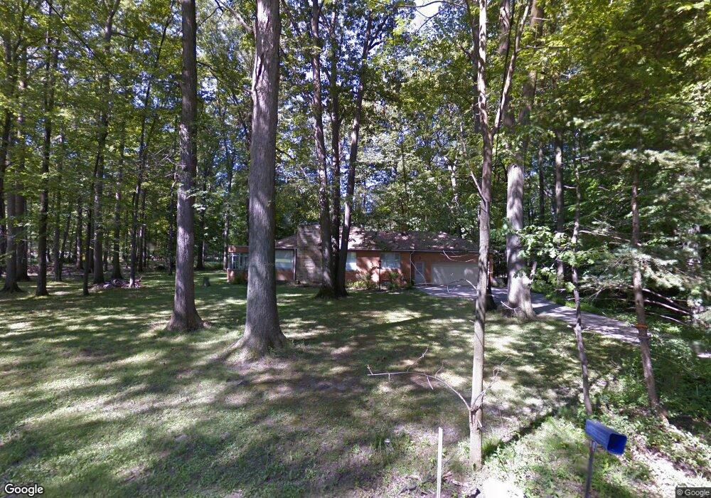
6720 Morningside Ave Middleburg Heights, OH 44130
Estimated Value: $265,000 - $283,000
2
Beds
1
Bath
1,494
Sq Ft
$183/Sq Ft
Est. Value
About This Home
This home is located at 6720 Morningside Ave, Middleburg Heights, OH 44130 and is currently estimated at $273,418, approximately $183 per square foot. 6720 Morningside Ave is a home located in Cuyahoga County with nearby schools including Big Creek Elementary School, Berea-Midpark Middle School, and Berea-Midpark High School.
Ownership History
Date
Name
Owned For
Owner Type
Purchase Details
Closed on
Aug 21, 2007
Sold by
Baboryk Albert and Baboryk Jeanette L
Bought by
Kennedy Steven M and Kennedy Carleen A
Current Estimated Value
Home Financials for this Owner
Home Financials are based on the most recent Mortgage that was taken out on this home.
Original Mortgage
$168,000
Interest Rate
6.77%
Mortgage Type
Purchase Money Mortgage
Purchase Details
Closed on
Aug 28, 1992
Sold by
Albert Baboryk
Bought by
Baboryk Albert
Purchase Details
Closed on
Aug 3, 1981
Sold by
Baboryk Albert and Baboryk Jeanette L
Bought by
Albert Baboryk
Purchase Details
Closed on
Jan 1, 1975
Bought by
Baboryk Albert and Baboryk Jeanette L
Create a Home Valuation Report for This Property
The Home Valuation Report is an in-depth analysis detailing your home's value as well as a comparison with similar homes in the area
Home Values in the Area
Average Home Value in this Area
Purchase History
| Date | Buyer | Sale Price | Title Company |
|---|---|---|---|
| Kennedy Steven M | $210,000 | Lighthouse Title Agency Inc | |
| Baboryk Albert | -- | -- | |
| Albert Baboryk | -- | -- | |
| Baboryk Albert | -- | -- |
Source: Public Records
Mortgage History
| Date | Status | Borrower | Loan Amount |
|---|---|---|---|
| Previous Owner | Kennedy Steven M | $168,000 |
Source: Public Records
Tax History Compared to Growth
Tax History
| Year | Tax Paid | Tax Assessment Tax Assessment Total Assessment is a certain percentage of the fair market value that is determined by local assessors to be the total taxable value of land and additions on the property. | Land | Improvement |
|---|---|---|---|---|
| 2024 | $4,593 | $83,860 | $27,475 | $56,385 |
| 2023 | $4,513 | $68,150 | $18,240 | $49,910 |
| 2022 | $4,484 | $68,145 | $18,235 | $49,910 |
| 2021 | $4,462 | $68,150 | $18,240 | $49,910 |
| 2020 | $4,237 | $56,770 | $15,190 | $41,580 |
| 2019 | $4,121 | $162,200 | $43,400 | $118,800 |
| 2018 | $2,053 | $56,770 | $15,190 | $41,580 |
| 2017 | $3,996 | $50,930 | $12,320 | $38,610 |
| 2016 | $3,965 | $50,930 | $12,320 | $38,610 |
| 2015 | $3,744 | $50,930 | $12,320 | $38,610 |
| 2014 | $3,744 | $50,930 | $12,320 | $38,610 |
Source: Public Records
Map
Nearby Homes
- 6566 Elmdale Rd
- 6771 Wood Creek Dr
- 13689 Pineview Ct
- 6749 Middlebrook Blvd
- 6359 Middlebrook Blvd
- 6943 N Parkway Dr Unit H6943
- 13879 Zaremba Dr
- 13931 Franklyn Blvd
- 6491 Smith Rd
- 15446 Sheldon Rd
- 13971 Park Dr
- 6212 Elmdale Rd
- 6330 Michael Dr
- 6736 Rockridge Ct
- 6710 Woodruff Ct
- 15510 Sandalhaven Dr
- 6736 Columbine Ct
- 6470 Sandfield Dr
- 6363 Lockhaven Dr
- 6809 Meadow Ln
- 6717 Morningside Ave
- 6778 Morningside Ave
- 6723 Morningside Ave
- 14299 Newton Rd
- 14339 Newton Rd
- 6524 Lares Ln
- 6727 Morningside Ave
- 14359 Newton Rd
- 6514 Lares Ln
- 6729 Morningside Ave
- 6732 Morningside Ave
- 6508 Lares Ln
- 14389 Newton Rd
- 6731 Morningside Ave
- 14279 Newton Rd
- 14267 Newton Rd
- 14319 Newton Rd
- 14257 Newton Rd
- 14190 Claremont Ave
- 14379 Newton Rd