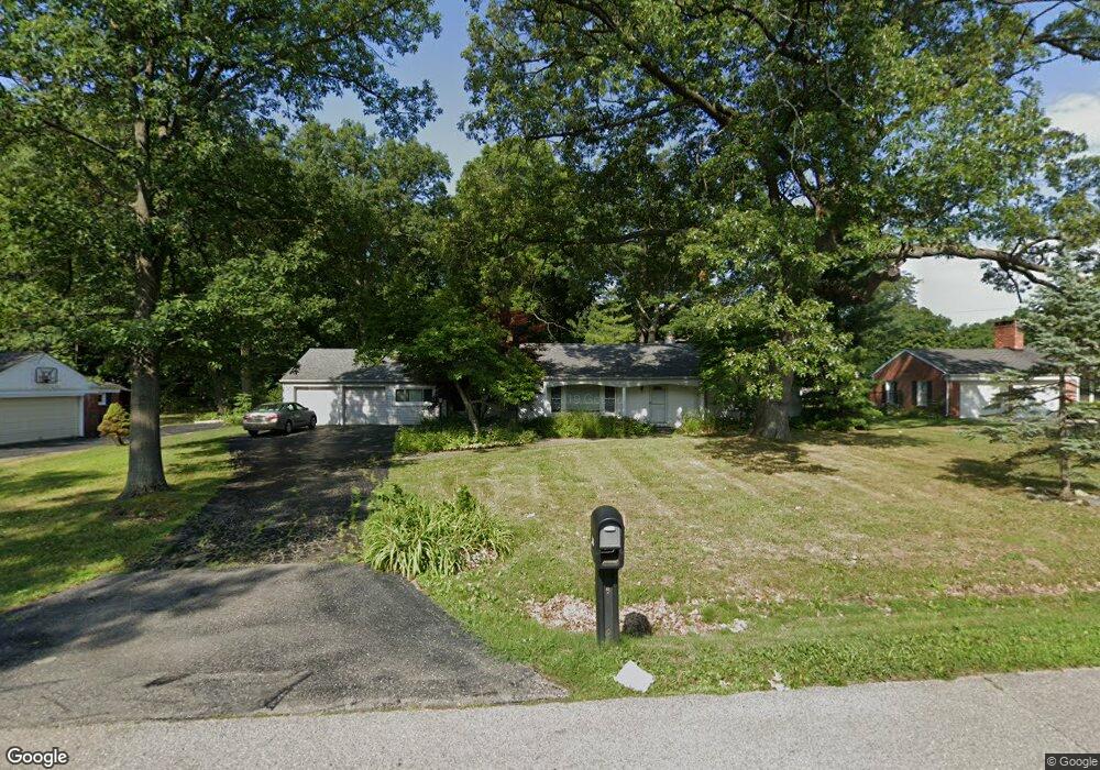
6720 W Dartmoor Rd West Bloomfield, MI 48322
Estimated Value: $340,286 - $476,000
3
Beds
2
Baths
1,870
Sq Ft
$215/Sq Ft
Est. Value
About This Home
This home is located at 6720 W Dartmoor Rd, West Bloomfield, MI 48322 and is currently estimated at $402,822, approximately $215 per square foot. 6720 W Dartmoor Rd is a home located in Oakland County with nearby schools including Wylie E. Groves High School, West Maple Elementary School, and Berkshire Middle School.
Ownership History
Date
Name
Owned For
Owner Type
Purchase Details
Closed on
Dec 16, 1999
Sold by
Tushman Lee
Bought by
Bakst Alan N
Current Estimated Value
Home Financials for this Owner
Home Financials are based on the most recent Mortgage that was taken out on this home.
Original Mortgage
$136,800
Outstanding Balance
$42,922
Interest Rate
7.89%
Estimated Equity
$359,900
Purchase Details
Closed on
Nov 28, 1994
Sold by
Ann L Fielder Trust
Bought by
Lee and Tushman Susan
Home Financials for this Owner
Home Financials are based on the most recent Mortgage that was taken out on this home.
Original Mortgage
$90,000
Interest Rate
6.13%
Create a Home Valuation Report for This Property
The Home Valuation Report is an in-depth analysis detailing your home's value as well as a comparison with similar homes in the area
Home Values in the Area
Average Home Value in this Area
Purchase History
| Date | Buyer | Sale Price | Title Company |
|---|---|---|---|
| Bakst Alan N | $171,000 | -- | |
| Lee | $137,450 | -- |
Source: Public Records
Mortgage History
| Date | Status | Borrower | Loan Amount |
|---|---|---|---|
| Open | Bakst Alan N | $136,800 | |
| Previous Owner | Lee | $90,000 |
Source: Public Records
Tax History Compared to Growth
Tax History
| Year | Tax Paid | Tax Assessment Tax Assessment Total Assessment is a certain percentage of the fair market value that is determined by local assessors to be the total taxable value of land and additions on the property. | Land | Improvement |
|---|---|---|---|---|
| 2024 | $1,745 | $146,270 | $0 | $0 |
| 2022 | $1,674 | $127,400 | $50,000 | $77,400 |
| 2021 | $2,825 | $112,970 | $0 | $0 |
| 2020 | $1,608 | $111,180 | $42,550 | $68,630 |
| 2018 | $3,301 | $101,640 | $28,050 | $73,590 |
| 2015 | -- | $76,890 | $0 | $0 |
| 2014 | -- | $72,200 | $0 | $0 |
| 2011 | -- | $64,140 | $0 | $0 |
Source: Public Records
Map
Nearby Homes
- 6800 N Clunbury Rd
- 6730 Halyard Rd
- 6420 Apple Grove Ln Unit 10
- 2014 Waldons Ct
- 4665 W Maple Rd
- 7250 Ten Hill
- 7315 Lindenmere Dr
- 7371 Lindenmere Dr
- 5815 Bloomfield Glens Rd
- 6940 Castle Dr
- 5881 Naneva Ct
- 6720 Castle Dr
- 6545 Post Oak Dr
- 2149 Sunnycrest Dr
- 4776 Walnut Lake Rd
- 27170 W 14 Mile Rd
- 7209 Stonebrook Rd
- 5312 Cambourne Place
- 6564 Alderley Way
- 4647 Private Lake Dr
- 6740 W Dartmoor Rd
- 6700 W Dartmoor Rd
- 6715 W Dartmoor Rd
- 6760 W Dartmoor Rd
- 6731 W Dartmoor Rd
- 6680 W Dartmoor Rd
- 6695 W Dartmoor Rd
- 6751 W Dartmoor Rd
- 6780 W Dartmoor Rd
- 6671 W Dartmoor Rd
- 6660 W Dartmoor Rd
- 6771 W Dartmoor Rd
- 6730 E Dartmoor Rd
- 6716 E Dartmoor Rd
- 6750 E Dartmoor Rd
- 6696 E Dartmoor Rd
- 6625 W Dartmoor Rd
- 6791 W Dartmoor Rd
- 6670 E Dartmoor Rd
- 6770 E Dartmoor Rd