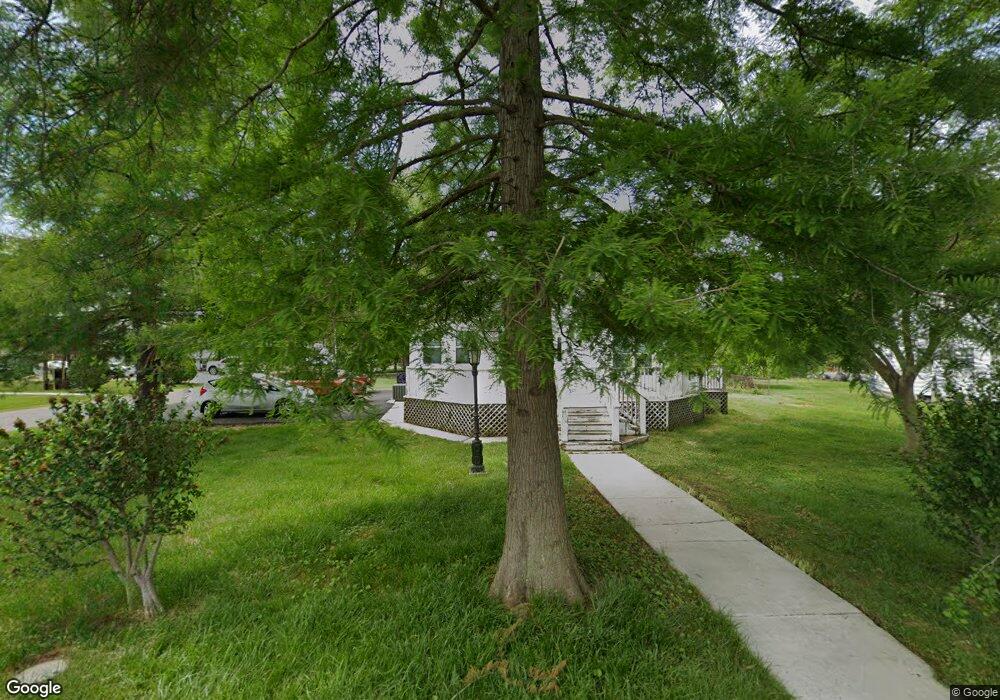
6721 Cornell Rd Middle River, MD 21220
Estimated Value: $262,000 - $292,000
Studio
1
Bath
1,056
Sq Ft
$261/Sq Ft
Est. Value
About This Home
This home is located at 6721 Cornell Rd, Middle River, MD 21220 and is currently estimated at $275,196, approximately $260 per square foot. 6721 Cornell Rd is a home located in Baltimore County with nearby schools including Chase Elementary School, Middle River Middle School, and Kenwood High.
Ownership History
Date
Name
Owned For
Owner Type
Purchase Details
Closed on
Feb 9, 2022
Sold by
Scott Mcclaskey Christopher
Bought by
Warnick Robert Lee and Warrick Samantha Nicole
Current Estimated Value
Home Financials for this Owner
Home Financials are based on the most recent Mortgage that was taken out on this home.
Original Mortgage
$279,314
Outstanding Balance
$257,376
Interest Rate
3.55%
Mortgage Type
New Conventional
Estimated Equity
$17,820
Purchase Details
Closed on
Sep 16, 1998
Sold by
Mcclaskey Edward A
Bought by
Joyce Judith M Mcclaskey
Purchase Details
Closed on
Dec 9, 1971
Sold by
Rada Charles E
Bought by
Mcclaskey Edward A
Create a Home Valuation Report for This Property
The Home Valuation Report is an in-depth analysis detailing your home's value as well as a comparison with similar homes in the area
Purchase History
| Date | Buyer | Sale Price | Title Company |
|---|---|---|---|
| Warnick Robert Lee | $193,000 | First American Title | |
| Joyce Judith M Mcclaskey | -- | -- | |
| Mcclaskey Edward A | $18,500 | -- |
Source: Public Records
Mortgage History
| Date | Status | Borrower | Loan Amount |
|---|---|---|---|
| Open | Warnick Robert Lee | $279,314 |
Source: Public Records
Tax History
| Year | Tax Paid | Tax Assessment Tax Assessment Total Assessment is a certain percentage of the fair market value that is determined by local assessors to be the total taxable value of land and additions on the property. | Land | Improvement |
|---|---|---|---|---|
| 2025 | $3,376 | $226,667 | -- | -- |
| 2024 | $3,376 | $214,833 | $0 | $0 |
| 2023 | $1,462 | $203,000 | $87,500 | $115,500 |
| 2022 | $3,020 | $191,133 | $0 | $0 |
| 2020 | $2,029 | $167,400 | $87,500 | $79,900 |
| 2019 | $1,950 | $160,867 | $0 | $0 |
| 2018 | $2,549 | $154,333 | $0 | $0 |
| 2017 | $2,395 | $147,800 | $0 | $0 |
| 2016 | -- | $147,800 | $0 | $0 |
| 2015 | $2,359 | $147,800 | $0 | $0 |
| 2014 | $2,359 | $153,600 | $0 | $0 |
Source: Public Records
Map
Nearby Homes
- 6714 Cornell Rd
- 6812 Schaadts Rd
- 13202 Cherwin Ave
- 7114 Oliver Beach Rd
- 7051 Greenbank Rd
- 7230 Gunpowder Rd
- 6609 Blackhead Rd
- 7316 Greenbank Rd
- 7343 Greenbank Rd
- 7361 Chesapeake Rd
- 6710 Camden St
- 6708 Camden St
- 6711 Greenleigh Ave
- 6707 Greenleigh Ave
- 116 Trails Way
- 6604 Queensbury St
- 6642 Camden St
- 603 Harrington St
- 6623 Greenleigh Ave
- 6621 Greenleigh Ave
- 6719 Cornell Rd
- 6801 Cornell Rd
- 6720 University Dr
- 6724 Cornell Rd
- 12911 Loyola Rd
- 6722 Cornell Rd
- 6717 Cornell Rd
- 12915 Loyola Rd
- 12925 Loyola Rd
- 6720 Cornell Rd
- 6805 Cornell Rd
- 6804 University Dr
- 6715 Cornell Rd
- 6803 University Dr
- 6804 Cornell Rd
- 6712 University Dr
- 6806 University Dr
- 6711 Cornell Rd
- 6723 Harewood Park Dr
- 6721 University Dr
Your Personal Tour Guide
Ask me questions while you tour the home.