6721 Karl Rd Columbus, OH 43229
Devonshire NeighborhoodEstimated Value: $1,294,537
Studio
--
Bath
3,870
Sq Ft
$335/Sq Ft
Est. Value
About This Home
This home is located at 6721 Karl Rd, Columbus, OH 43229 and is currently estimated at $1,294,537, approximately $334 per square foot. 6721 Karl Rd is a home located in Franklin County with nearby schools including Colonial Hills Elementary School, Kilbourne Middle School, and Thomas Worthington High School.
Ownership History
Date
Name
Owned For
Owner Type
Purchase Details
Closed on
Nov 2, 2009
Sold by
Karl Road Medical Property Llc
Bought by
The Sehgal Family Limited Partnership
Current Estimated Value
Home Financials for this Owner
Home Financials are based on the most recent Mortgage that was taken out on this home.
Original Mortgage
$250,000
Outstanding Balance
$161,499
Interest Rate
5.11%
Mortgage Type
Future Advance Clause Open End Mortgage
Estimated Equity
$1,146,012
Purchase Details
Closed on
Jun 12, 2008
Sold by
Medvest Investments
Bought by
Karl Road Medical Property Llc
Home Financials for this Owner
Home Financials are based on the most recent Mortgage that was taken out on this home.
Original Mortgage
$450,000
Interest Rate
6.09%
Mortgage Type
Commercial
Purchase Details
Closed on
Nov 23, 1977
Bought by
Med Vest Investments
Create a Home Valuation Report for This Property
The Home Valuation Report is an in-depth analysis detailing your home's value as well as a comparison with similar homes in the area
Home Values in the Area
Average Home Value in this Area
Purchase History
| Date | Buyer | Sale Price | Title Company |
|---|---|---|---|
| The Sehgal Family Limited Partnership | $540,000 | Attorney | |
| Karl Road Medical Property Llc | $325,000 | Attorney | |
| Med Vest Investments | -- | -- |
Source: Public Records
Mortgage History
| Date | Status | Borrower | Loan Amount |
|---|---|---|---|
| Open | The Sehgal Family Limited Partnership | $250,000 | |
| Previous Owner | Karl Road Medical Property Llc | $450,000 |
Source: Public Records
Tax History
| Year | Tax Paid | Tax Assessment Tax Assessment Total Assessment is a certain percentage of the fair market value that is determined by local assessors to be the total taxable value of land and additions on the property. | Land | Improvement |
|---|---|---|---|---|
| 2025 | $15,869 | $167,510 | $94,920 | $72,590 |
| 2024 | $15,869 | $167,510 | $94,920 | $72,590 |
| 2023 | $15,118 | $167,510 | $94,920 | $72,590 |
| 2022 | $17,865 | $167,510 | $94,920 | $72,590 |
| 2021 | $16,849 | $167,510 | $94,920 | $72,590 |
| 2020 | $16,336 | $167,510 | $94,920 | $72,590 |
| 2019 | $15,700 | $152,260 | $86,280 | $65,980 |
| 2018 | $15,672 | $152,260 | $86,280 | $65,980 |
| 2017 | $16,116 | $152,260 | $86,280 | $65,980 |
| 2016 | $17,687 | $159,260 | $86,280 | $72,980 |
| 2015 | $15,991 | $159,260 | $86,280 | $72,980 |
| 2014 | $15,983 | $159,260 | $86,280 | $72,980 |
| 2013 | $7,835 | $159,250 | $86,275 | $72,975 |
Source: Public Records
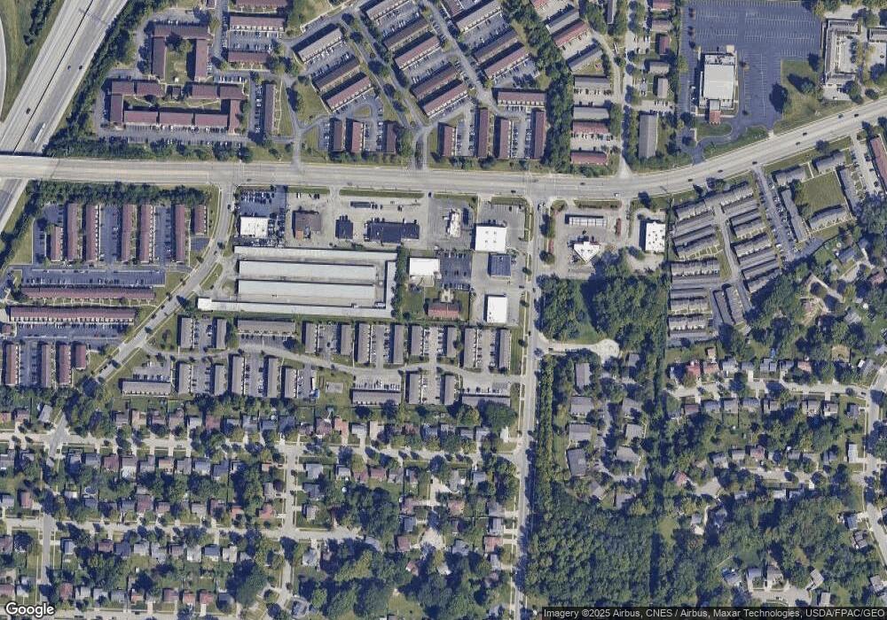
Map
Nearby Homes
- 1635 Tendril Ct
- 1421 Bosworth Place
- 6416 Faircrest Rd
- 1755 Hillandale Ave
- 6425 Deer Ridge Ln
- 6336 Archmere Square E
- 1946 Rockdale Dr Unit 57
- 1806 Balsamridge Rd
- 6233 Karl Rd
- 1852 Balsamridge Rd
- 6166 Harrington Ct
- 6245 Sharon Woods Blvd
- 6148 Sharon Woods Blvd
- 6100 Darby Ln
- 6137 Ambleside Dr
- 1288 Oakfield Dr N
- 6162 Oakfield Dr E
- 6050 Karl Rd
- 6189 Northgap Dr
- 6211 Parkdale Dr
- 6725 Karl Rd
- 6701 Karl Rd
- 6707 Karl Rd
- 6733 Karl Rd
- 1541 Schrock Rd
- 1487 Schrock Rd Unit 505
- 1487 Schrock Rd
- 1485 Schrock Rd
- 1541 Barnes Dr E
- 1541 Barnes Dr E
- 1516 Bolenhill Ave
- 1508 Bolenhill Ave
- 1500 Bolenhill Ave
- 1475 Schrock Rd
- 1532 Bolenhill Ave
- 1492 Bolenhill Ave
- 1484 Bolenhill Ave
- 6649 Karl Rd
- 1318 Schrock Rd
- 0 Schrock Rd
Your Personal Tour Guide
Ask me questions while you tour the home.