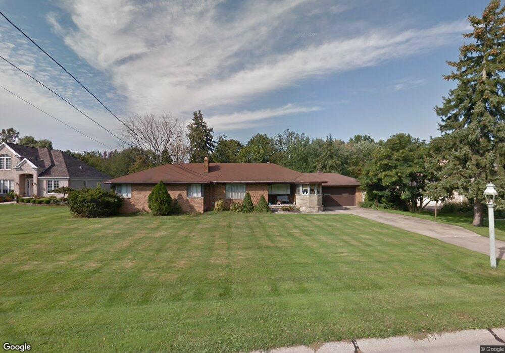
6723 Brettin Dr Independence, OH 44131
Estimated Value: $354,470 - $478,000
5
Beds
3
Baths
2,268
Sq Ft
$179/Sq Ft
Est. Value
About This Home
This home is located at 6723 Brettin Dr, Independence, OH 44131 and is currently estimated at $406,368, approximately $179 per square foot. 6723 Brettin Dr is a home located in Cuyahoga County with nearby schools including Independence Primary School, Independence Middle School, and Independence High School.
Ownership History
Date
Name
Owned For
Owner Type
Purchase Details
Closed on
May 13, 2019
Sold by
Barts Anthony D and Barts Janet L
Bought by
Hatton Christopher S and Hatton Rachel A
Current Estimated Value
Purchase Details
Closed on
May 4, 2019
Sold by
Barts Janet Lynn and Kuthan James D
Bought by
Barts Anthony D and Barts Janet L
Purchase Details
Closed on
Nov 8, 2000
Sold by
Kuthan Viola M
Bought by
Kuthan Viola M
Create a Home Valuation Report for This Property
The Home Valuation Report is an in-depth analysis detailing your home's value as well as a comparison with similar homes in the area
Home Values in the Area
Average Home Value in this Area
Purchase History
| Date | Buyer | Sale Price | Title Company |
|---|---|---|---|
| Hatton Christopher S | $160,000 | None Available | |
| Barts Anthony D | $160,000 | Harvard Title | |
| Kuthan Viola M | -- | -- |
Source: Public Records
Mortgage History
| Date | Status | Borrower | Loan Amount |
|---|---|---|---|
| Closed | Hatton Christopher S | $0 |
Source: Public Records
Tax History Compared to Growth
Tax History
| Year | Tax Paid | Tax Assessment Tax Assessment Total Assessment is a certain percentage of the fair market value that is determined by local assessors to be the total taxable value of land and additions on the property. | Land | Improvement |
|---|---|---|---|---|
| 2024 | $5,189 | $108,500 | $22,820 | $85,680 |
| 2023 | $4,191 | $79,630 | $22,050 | $57,580 |
| 2022 | $4,168 | $79,630 | $22,050 | $57,580 |
| 2021 | $4,108 | $79,630 | $22,050 | $57,580 |
| 2020 | $4,016 | $73,050 | $20,230 | $52,820 |
| 2019 | $3,975 | $247,600 | $57,800 | $189,800 |
| 2018 | $3,788 | $86,660 | $20,230 | $66,430 |
| 2017 | $3,475 | $71,300 | $21,280 | $50,020 |
| 2016 | $3,440 | $71,300 | $21,280 | $50,020 |
| 2015 | $3,147 | $71,300 | $21,280 | $50,020 |
| 2014 | $3,147 | $66,020 | $19,710 | $46,310 |
Source: Public Records
Map
Nearby Homes
- 6216 Ranchview Dr
- 7572 Scenicview Dr
- 6835 E Pleasant Valley Rd
- 7972 Brecksville Rd
- 6312 E Pleasant Valley Rd
- 6752 Rivercrest Dr
- 4926 E Wallings Rd
- 7160 Brecksville Rd
- 6684 Farview Rd
- 6850 Carriage Hill Dr Unit D54
- 4520 E Wallings Rd
- 6942 W Fitzwater Rd
- 6920 Carriage Hill Dr
- 7030 Carriage Hill Dr Unit 202
- 7963 Seth Payne St
- 10303 Tanager Trail
- 7004 Filip Blvd
- 4912 Hillside Rd
- 5718 W Mill Rd
- 4712 Hillside Rd
- 6605 Brettin Dr
- 6825 Brettin Dr
- 6555 Brettin Dr
- 6815 Brettin Dr
- 7009 Kingscote Park
- 6991 Kingscote Park
- 6628 Brettin Dr
- 7017 Kingscote Park
- 6726 Brettin Dr
- VL Kingscote Park
- Sublot 23 Kingscote Park Unit Sublot 23
- 6608 Brettin Dr
- 6855 Brettin Dr
- 6758 Brettin Dr
- 6816 Brettin Dr
- 6594 Brettin Dr
- 7027 Kingscote Park
- S/L 22 Kingscote Park
- 6510 Brettin Dr
- 6994 Kingscote Park