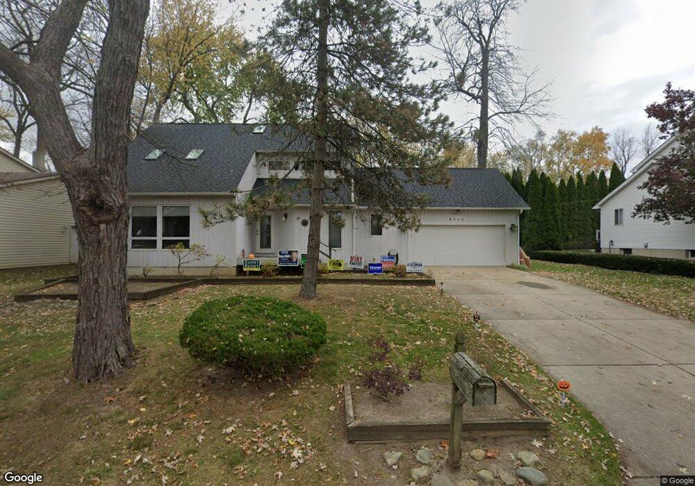
6724 Grassland Ave West Bloomfield, MI 48324
Estimated Value: $356,000 - $423,000
3
Beds
2
Baths
1,840
Sq Ft
$214/Sq Ft
Est. Value
About This Home
This home is located at 6724 Grassland Ave, West Bloomfield, MI 48324 and is currently estimated at $394,123, approximately $214 per square foot. 6724 Grassland Ave is a home located in Oakland County with nearby schools including Our Lady Of Refuge School and St Mary's Preparatory School.
Ownership History
Date
Name
Owned For
Owner Type
Purchase Details
Closed on
Apr 15, 2010
Sold by
Provident Funding Associates Lp
Bought by
Federal Home Loan Mortgage Corp
Current Estimated Value
Purchase Details
Closed on
Oct 6, 2009
Sold by
Krauss Deena
Bought by
Provident Funding Associates Lp
Purchase Details
Closed on
May 14, 2003
Sold by
Krauss Deena and Silverman Dina
Bought by
Deena Krauss Trust
Purchase Details
Closed on
Mar 17, 2003
Sold by
Silverman Diana and Krauss Deena
Bought by
Krauss Deena
Create a Home Valuation Report for This Property
The Home Valuation Report is an in-depth analysis detailing your home's value as well as a comparison with similar homes in the area
Home Values in the Area
Average Home Value in this Area
Purchase History
| Date | Buyer | Sale Price | Title Company |
|---|---|---|---|
| Federal Home Loan Mortgage Corp | -- | None Available | |
| Provident Funding Associates Lp | $116,182 | None Available | |
| Deena Krauss Trust | -- | -- | |
| Krauss Deena | -- | Best Title Company |
Source: Public Records
Tax History Compared to Growth
Tax History
| Year | Tax Paid | Tax Assessment Tax Assessment Total Assessment is a certain percentage of the fair market value that is determined by local assessors to be the total taxable value of land and additions on the property. | Land | Improvement |
|---|---|---|---|---|
| 2024 | $2,580 | $175,700 | $0 | $0 |
| 2022 | $2,470 | $163,460 | $36,070 | $127,390 |
| 2021 | $3,754 | $156,090 | $0 | $0 |
| 2020 | $2,421 | $148,790 | $36,070 | $112,720 |
| 2018 | $3,620 | $120,310 | $36,070 | $84,240 |
| 2015 | -- | $101,970 | $0 | $0 |
| 2014 | -- | $94,830 | $0 | $0 |
| 2011 | -- | $84,780 | $0 | $0 |
Source: Public Records
Map
Nearby Homes
- 6768 Buckland Ave
- 3950 Bradmore Ave
- 3965 Carrick Ave
- 3632 Fieldview Ave
- 6903 Dandison Blvd
- 3991 Fieldview Ave
- 3641 Green Lake Rd
- 4066 Green Lake Rd
- 0000 Langtoft
- 6675 Langtoft St
- 6978 Colony Dr
- 6707 Heatherwood Dr
- 7146 Arrowood Dr
- 3701 Northwood
- 6420 Commerce Rd
- 4245 Bunker Ave
- 4442 Borland St
- 7369 Sweetbriar
- 4335 Crestdale Ave
- 4212 Greendale Ave
- 6748 Grassland Ave
- 6692 Grassland Ave
- 0000 Grassland Ave
- VAC Grassland Ave
- 6711 Buckland Ave
- 6723 Buckland Ave
- 6715 Grassland Ave
- 6707 Grassland Ave
- 6675 Buckland Ave
- 6752 Grassland Ave
- 6670 Grassland Ave
- 6731 Buckland Ave
- 6657 Buckland Ave
- 6655 Grassland Ave
- 6735 Buckland Ave
- 6775 Grassland Ave
- 6670 Buckland Ave
- 6716 Dandison Blvd
- 6710 Buckland Ave
- 6724 Buckland Ave