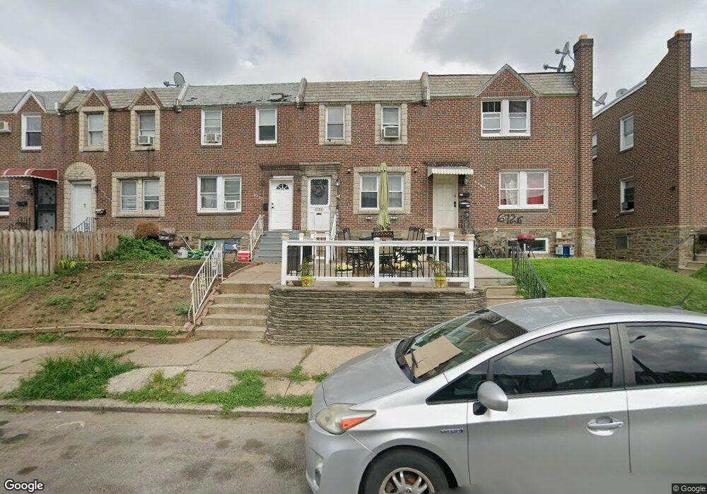
6724 Horrocks St Philadelphia, PA 19149
Castor Gardens NeighborhoodEstimated Value: $213,000 - $232,000
3
Beds
1
Bath
1,068
Sq Ft
$206/Sq Ft
Est. Value
About This Home
This home is located at 6724 Horrocks St, Philadelphia, PA 19149 and is currently estimated at $219,550, approximately $205 per square foot. 6724 Horrocks St is a home located in Philadelphia County with nearby schools including Gilbert Spruance School, Northeast High School, and Gospel of Grace Christian School.
Ownership History
Date
Name
Owned For
Owner Type
Purchase Details
Closed on
Jul 27, 2000
Sold by
Melement Marc
Bought by
Calero Francisco C and Calero Patricia
Current Estimated Value
Home Financials for this Owner
Home Financials are based on the most recent Mortgage that was taken out on this home.
Original Mortgage
$58,103
Interest Rate
7.89%
Purchase Details
Closed on
Nov 21, 1997
Sold by
Muller Joan E
Bought by
Melement Marc
Create a Home Valuation Report for This Property
The Home Valuation Report is an in-depth analysis detailing your home's value as well as a comparison with similar homes in the area
Home Values in the Area
Average Home Value in this Area
Purchase History
| Date | Buyer | Sale Price | Title Company |
|---|---|---|---|
| Calero Francisco C | $59,900 | -- | |
| Melement Marc | $28,000 | -- |
Source: Public Records
Mortgage History
| Date | Status | Borrower | Loan Amount |
|---|---|---|---|
| Previous Owner | Calero Francisco C | $58,103 |
Source: Public Records
Tax History Compared to Growth
Tax History
| Year | Tax Paid | Tax Assessment Tax Assessment Total Assessment is a certain percentage of the fair market value that is determined by local assessors to be the total taxable value of land and additions on the property. | Land | Improvement |
|---|---|---|---|---|
| 2025 | $2,382 | $211,300 | $42,260 | $169,040 |
| 2024 | $2,382 | $211,300 | $42,260 | $169,040 |
| 2023 | $2,382 | $170,200 | $34,040 | $136,160 |
| 2022 | $1,117 | $125,200 | $34,040 | $91,160 |
| 2021 | $1,747 | $0 | $0 | $0 |
| 2020 | $1,747 | $0 | $0 | $0 |
| 2019 | $1,677 | $0 | $0 | $0 |
| 2018 | $1,536 | $0 | $0 | $0 |
| 2017 | $1,536 | $0 | $0 | $0 |
| 2016 | $1,116 | $0 | $0 | $0 |
| 2015 | $1,068 | $0 | $0 | $0 |
| 2014 | -- | $109,700 | $18,075 | $91,625 |
| 2012 | -- | $14,560 | $1,517 | $13,043 |
Source: Public Records
Map
Nearby Homes
- 6640 Souder St
- 6826 Sylvester St
- 6621 Sylvester St
- 6829 Horrocks St
- 6739 Lynford St
- 6725 Eastwood St
- 6627 Oakland St
- 6834 Large St
- 6827 Lynford St
- 1612 Magee Ave
- 6541 Souder St
- 6626 Lynford St
- 1604 Magee Ave
- 1600 Magee Ave
- 6900 Eastwood St
- 2011 Longshore Ave
- 1535 Hellerman St
- 6946 Kindred St
- 1500 Hellerman St
- 2110 Longshore Ave
- 6722 Horrocks St
- 6726 Horrocks St
- 6720 Horrocks St
- 6728 Horrocks St
- 6718 Horrocks St
- 6716 Horrocks St
- 6730 Horrocks St
- 6723 Souder St
- 6721 Souder St
- 6714 Horrocks St
- 6719 Souder St
- 6725 Souder St
- 6732 Horrocks St
- 6717 Souder St
- 6727 Souder St
- 6712 Horrocks St
- 6729 Souder St
- 6715 Souder St
- 6734 Horrocks St
- 6731 Souder St