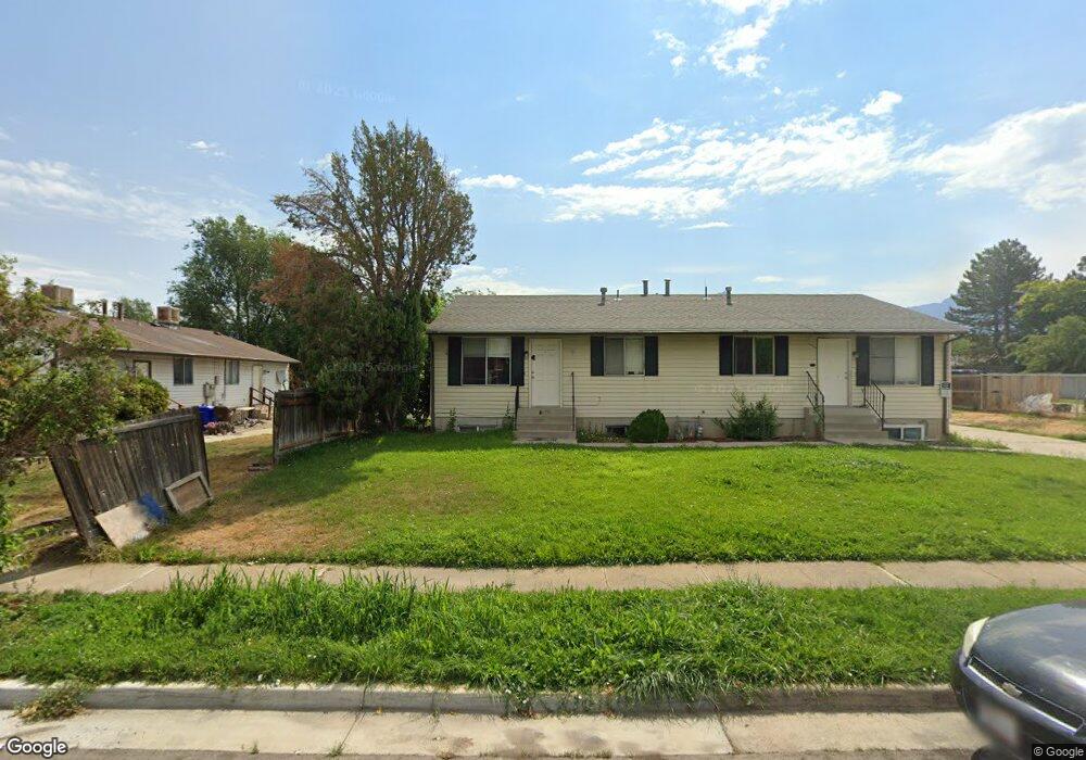
6725 S 565 E Unit 6727 Midvale, UT 84047
Estimated Value: $660,161 - $755,000
7
Beds
4
Baths
3,328
Sq Ft
$211/Sq Ft
Est. Value
About This Home
This home is located at 6725 S 565 E Unit 6727, Midvale, UT 84047 and is currently estimated at $702,540, approximately $211 per square foot. 6725 S 565 E Unit 6727 is a home located in Salt Lake County with nearby schools including East Midvale Elementary School, Hillcrest High School, and Midvale Middle School.
Ownership History
Date
Name
Owned For
Owner Type
Purchase Details
Closed on
Aug 25, 2016
Sold by
Godlewski Bryan and Godlewski Alison
Bought by
Hayden Peak Llc
Current Estimated Value
Purchase Details
Closed on
Sep 26, 2012
Sold by
Hill Connie and Howa Sheldon
Bought by
Godlewski Bryan and Godlewski Alison
Home Financials for this Owner
Home Financials are based on the most recent Mortgage that was taken out on this home.
Original Mortgage
$183,750
Interest Rate
3.59%
Mortgage Type
New Conventional
Create a Home Valuation Report for This Property
The Home Valuation Report is an in-depth analysis detailing your home's value as well as a comparison with similar homes in the area
Home Values in the Area
Average Home Value in this Area
Purchase History
| Date | Buyer | Sale Price | Title Company |
|---|---|---|---|
| Hayden Peak Llc | -- | None Available | |
| Godlewski Bryan | -- | Utah Furst Titel Ins Agecy |
Source: Public Records
Mortgage History
| Date | Status | Borrower | Loan Amount |
|---|---|---|---|
| Previous Owner | Godlewski Bryan | $183,750 |
Source: Public Records
Tax History
| Year | Tax Paid | Tax Assessment Tax Assessment Total Assessment is a certain percentage of the fair market value that is determined by local assessors to be the total taxable value of land and additions on the property. | Land | Improvement |
|---|---|---|---|---|
| 2025 | $3,499 | $604,600 | $179,100 | $425,500 |
| 2024 | $3,499 | $574,400 | $169,000 | $405,400 |
| 2023 | $3,183 | $517,800 | $160,700 | $357,100 |
| 2022 | $3,354 | $533,000 | $133,900 | $399,100 |
| 2021 | $2,992 | $406,500 | $123,600 | $282,900 |
| 2020 | $2,906 | $373,700 | $101,600 | $272,100 |
| 2019 | $2,741 | $343,400 | $95,800 | $247,600 |
| 2016 | $2,543 | $300,300 | $95,800 | $204,500 |
Source: Public Records
Map
Nearby Homes
- 512 E Larchwood Dr
- 6874 S 595 E Unit 66
- 6310 S 530 E
- 6969 S Free Land Ave
- 347 E Winchester St
- 283 E Vaughn Ln Unit 12
- 6965 S 700 E
- 6715 S Vaughn Ln Unit 8
- 6717 S Vaughn Ln Unit 9
- 6290 S 440 E
- 6718 S Vaughn Ln Unit 21
- 6714 S Vaughn Ln Unit 23
- 6716 S Vaughn Ln Unit 22
- 6720 S Vaughn Ln Unit 20
- 6907 S 800 E
- 7083 Village Place
- 6948 S 855 E
- 761 E Gables Ln
- 775 E Gables Ln
- 7045 S 300 E
- 6739 S 565 E Unit 6741
- 580 E Acoma Rd
- 580 Acoma Rd
- 6728 S 615 E
- 602 Acoma Rd
- 602 E Acoma Rd Unit A&B
- 6738 S 615 E Unit 6740
- 6720 S 565 E
- 6734 S 565 E Unit 6736
- 577 Larchwood Dr
- 577 E Larchwood Dr
- 591 Larchwood Dr
- 552 Acoma Rd Unit 554
- 552 E Acoma Rd
- 6748 S 565 E Unit 6750
- 6756 S 615 E
- 577 Acoma Rd
- 591 E Acoma Rd
- 591 Acoma Rd Unit A
- 563 E Acoma Rd
Your Personal Tour Guide
Ask me questions while you tour the home.