6726 Lake Pointe Dr Mineral, VA 23117
Margo NeighborhoodEstimated Value: $864,000 - $1,201,000
3
Beds
3
Baths
1,569
Sq Ft
$624/Sq Ft
Est. Value
About This Home
This home is located at 6726 Lake Pointe Dr, Mineral, VA 23117 and is currently estimated at $979,193, approximately $624 per square foot. 6726 Lake Pointe Dr is a home located in Spotsylvania County with nearby schools including Livingston Elementary School, Post Oak Middle School, and Spotsylvania High School.
Ownership History
Date
Name
Owned For
Owner Type
Purchase Details
Closed on
Apr 22, 1998
Sold by
Lakeland Dev
Bought by
Willis John M
Current Estimated Value
Home Financials for this Owner
Home Financials are based on the most recent Mortgage that was taken out on this home.
Original Mortgage
$59,400
Outstanding Balance
$11,286
Interest Rate
7.11%
Mortgage Type
New Conventional
Estimated Equity
$967,907
Create a Home Valuation Report for This Property
The Home Valuation Report is an in-depth analysis detailing your home's value as well as a comparison with similar homes in the area
Home Values in the Area
Average Home Value in this Area
Purchase History
| Date | Buyer | Sale Price | Title Company |
|---|---|---|---|
| Willis John M | $66,000 | -- |
Source: Public Records
Mortgage History
| Date | Status | Borrower | Loan Amount |
|---|---|---|---|
| Open | Willis John M | $59,400 |
Source: Public Records
Tax History Compared to Growth
Tax History
| Year | Tax Paid | Tax Assessment Tax Assessment Total Assessment is a certain percentage of the fair market value that is determined by local assessors to be the total taxable value of land and additions on the property. | Land | Improvement |
|---|---|---|---|---|
| 2025 | $5,302 | $722,000 | $293,000 | $429,000 |
| 2024 | $5,302 | $722,000 | $293,000 | $429,000 |
| 2023 | $4,850 | $628,500 | $268,600 | $359,900 |
| 2022 | $4,636 | $628,500 | $268,600 | $359,900 |
| 2021 | $4,521 | $558,500 | $244,200 | $314,300 |
| 2020 | $4,521 | $558,500 | $244,200 | $314,300 |
| 2019 | $4,604 | $543,300 | $244,200 | $299,100 |
| 2018 | $4,526 | $543,300 | $244,200 | $299,100 |
| 2017 | $4,493 | $528,600 | $244,200 | $284,400 |
| 2016 | $4,493 | $528,600 | $244,200 | $284,400 |
| 2015 | -- | $520,600 | $244,200 | $276,400 |
| 2014 | -- | $520,600 | $244,200 | $276,400 |
Source: Public Records
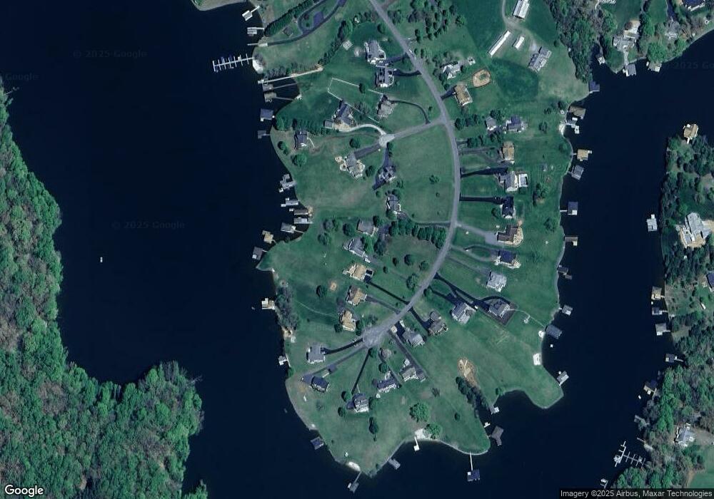
Map
Nearby Homes
- 6604 Morning Dew Dr
- 16110 Harris Ct
- 6602 Morning Dew Dr
- 16105 Harris Ct
- Lot 12A Evans Family Place
- 16113 Harris Ct
- 7016 Don Rd
- 16025 Days Bridge Rd
- 16125 Harris Ct
- 6715 Water View Ln Unit 68
- 6715 Water View Ln
- 6202 Ruth Ln
- 16016 Carrington Ct
- 16014 Carrington Ct
- Lot 3 Scotts Knoll Scotts Knoll Landing
- 6213 Belmont Rd
- 6602 Sunrise Bay Dr
- 15507 Heth Dr
- 6121 Belmont Rd
- 6206 Eds Rd
- 6734 Lake Pointe Dr
- 6720 Lake Pointe Dr
- 6716 Lake Pointe Dr
- 6746 Lake Pointe Dr
- 6710 Lake Pointe Dr
- 15806 Break Water Ct
- 15800 Break Water Ct
- 6704 Lake Pointe Dr
- 6717 Lake Pointe Dr
- 6721 Lake Pointe Dr
- 6725 Lake Pointe Dr
- 15809 Break Water Ct
- 15805 Break Water Ct
- 6700 Lake Pointe Dr
- 6729 Lake Pointe Dr
- 6733 Lake Pointe Dr
- 6713 Lake Pointe Dr
- 15801 Break Water Ct
- 6737 Lake Pointe Dr
- 6741 Lake Pointe Dr