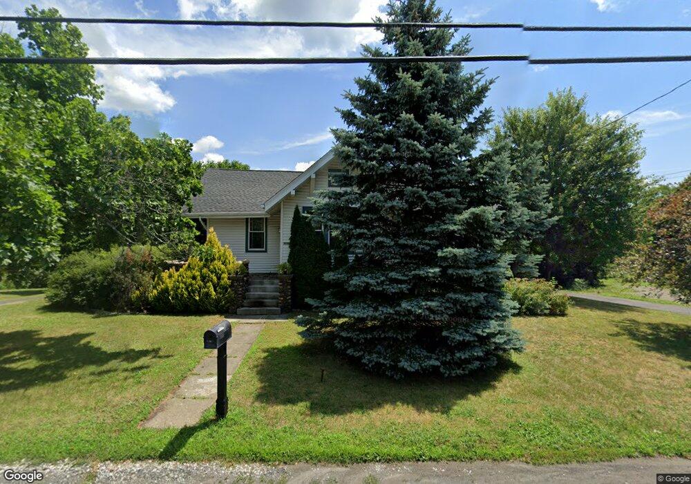
6726 Us Route 9 Hudson, NY 12534
Estimated Value: $315,000 - $443,000
2
Beds
1
Bath
1,036
Sq Ft
$371/Sq Ft
Est. Value
About This Home
This home is located at 6726 Us Route 9, Hudson, NY 12534 and is currently estimated at $384,564, approximately $371 per square foot. 6726 Us Route 9 is a home located in Columbia County with nearby schools including Montgomery C. Smith Elementary School and Hudson Senior High School.
Ownership History
Date
Name
Owned For
Owner Type
Purchase Details
Closed on
Nov 14, 2022
Sold by
Allers Aaron J
Bought by
Carter Six
Current Estimated Value
Home Financials for this Owner
Home Financials are based on the most recent Mortgage that was taken out on this home.
Original Mortgage
$264,127
Outstanding Balance
$255,937
Interest Rate
6.95%
Mortgage Type
FHA
Estimated Equity
$128,627
Purchase Details
Closed on
Nov 14, 2005
Sold by
Graziano Anthony J
Bought by
Allers Aaron J
Purchase Details
Closed on
May 5, 2005
Sold by
Estate Shaw Elizabeth
Bought by
Graziano Anthony
Create a Home Valuation Report for This Property
The Home Valuation Report is an in-depth analysis detailing your home's value as well as a comparison with similar homes in the area
Home Values in the Area
Average Home Value in this Area
Purchase History
| Date | Buyer | Sale Price | Title Company |
|---|---|---|---|
| Carter Six | $269,000 | None Available | |
| Allers Aaron J | $145,000 | Scott D Shallo | |
| Graziano Anthony | $39,500 | John Gable | |
| Graziano Anthony | $110,000 | John Gable |
Source: Public Records
Mortgage History
| Date | Status | Borrower | Loan Amount |
|---|---|---|---|
| Open | Carter Six | $264,127 |
Source: Public Records
Tax History Compared to Growth
Tax History
| Year | Tax Paid | Tax Assessment Tax Assessment Total Assessment is a certain percentage of the fair market value that is determined by local assessors to be the total taxable value of land and additions on the property. | Land | Improvement |
|---|---|---|---|---|
| 2024 | $4,598 | $290,000 | $23,700 | $266,300 |
| 2023 | $4,689 | $145,727 | $15,147 | $130,580 |
| 2022 | $4,627 | $145,727 | $15,147 | $130,580 |
| 2021 | $4,412 | $145,727 | $15,147 | $130,580 |
| 2020 | $3,999 | $145,727 | $15,147 | $130,580 |
| 2019 | $4,134 | $145,727 | $15,147 | $130,580 |
| 2018 | $4,134 | $145,727 | $15,147 | $130,580 |
| 2017 | $4,117 | $145,727 | $15,147 | $130,580 |
| 2016 | $4,070 | $145,727 | $15,147 | $130,580 |
| 2015 | -- | $145,727 | $15,147 | $130,580 |
| 2014 | -- | $145,727 | $15,147 | $130,580 |
Source: Public Records
Map
Nearby Homes
- 6727 U S 9
- 6616 US Route 9
- 2859 Atlantic Ave
- 6583 W Atlantic Ave
- 2884 Atlantic Ave
- 469 Fairview Ave
- 9667 U S 9
- 6881 Rod and Gun Rd
- 6650 Hill St
- 6568 Hill St
- 2970 Salisbury Place
- 2970 Salisbury Place
- 6550 Hill St
- 2971 Garden Place
- Lot 5 Pulcher Ave
- 35 Pulcher Ave
- 31 Pulcher Ave
- 25 Pulcher Ave
- Lot 3 Pulcher Ave
- 207 Stottville Rd