Estimated Value: $146,000 - $192,000
--
Bed
1
Bath
1,854
Sq Ft
$90/Sq Ft
Est. Value
About This Home
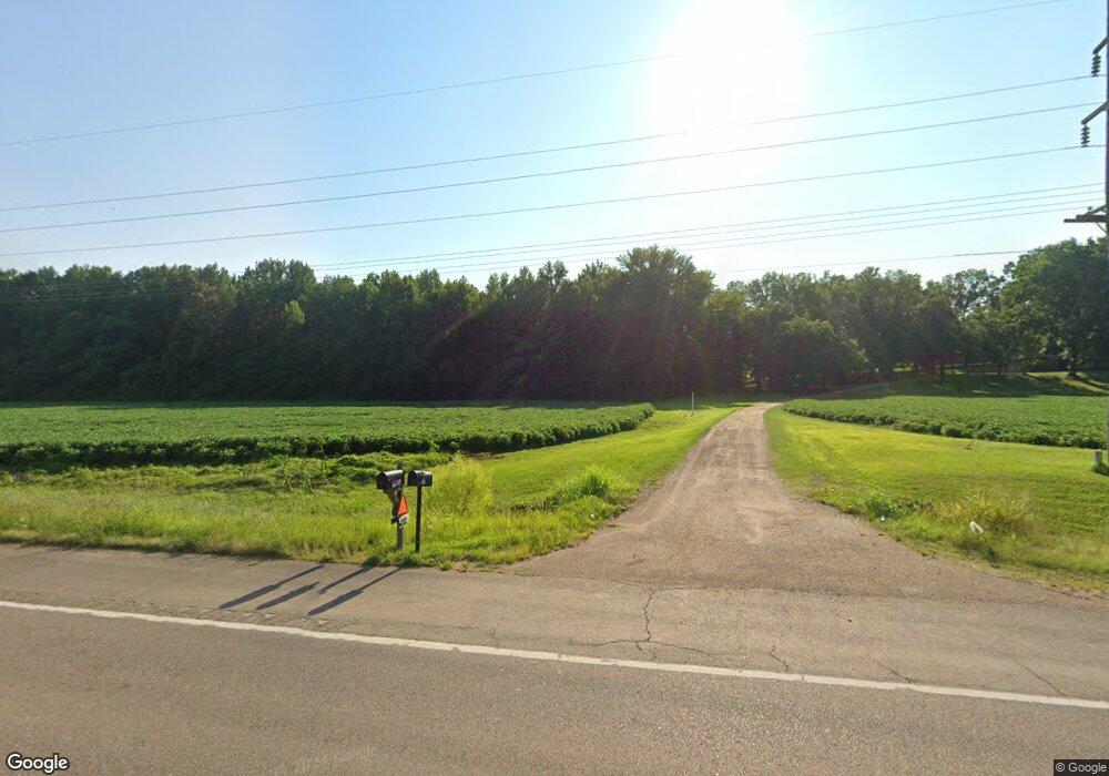
This home is located at 6727 Highway 1 N, Colt, AR 72326 and is currently estimated at $166,333, approximately $89 per square foot. 6727 Highway 1 N is a home located in St. Francis County with nearby schools including Central Elementary School, Stewart Elementary School, and Forrest City Junior High School.
Ownership History
Date
Name
Owned For
Owner Type
Purchase Details
Closed on
Mar 2, 2022
Sold by
Dudley Gilbreath and Dudley Mary
Bought by
Linderman Johnathan and Linderman Amanda
Current Estimated Value
Home Financials for this Owner
Home Financials are based on the most recent Mortgage that was taken out on this home.
Original Mortgage
$179,025
Outstanding Balance
$166,828
Interest Rate
3.69%
Mortgage Type
VA
Estimated Equity
-$495
Purchase Details
Closed on
Jul 11, 2020
Sold by
Gready Barbara Sanders
Bought by
Gilbreath John
Home Financials for this Owner
Home Financials are based on the most recent Mortgage that was taken out on this home.
Original Mortgage
$67,750
Interest Rate
3.1%
Mortgage Type
FHA
Purchase Details
Closed on
Mar 3, 2008
Sold by
Sanders Merritt V and Gready Barbara Sanders
Bought by
Estate Of Eunice Ruth Sanders
Create a Home Valuation Report for This Property
The Home Valuation Report is an in-depth analysis detailing your home's value as well as a comparison with similar homes in the area
Home Values in the Area
Average Home Value in this Area
Purchase History
| Date | Buyer | Sale Price | Title Company |
|---|---|---|---|
| Linderman Johnathan | $175,000 | Langdon Davis | |
| Gilbreath John | $69,000 | Forrest City Abstract | |
| Estate Of Eunice Ruth Sanders | -- | None Available |
Source: Public Records
Mortgage History
| Date | Status | Borrower | Loan Amount |
|---|---|---|---|
| Open | Linderman Johnathan | $179,025 | |
| Previous Owner | Gilbreath John | $67,750 |
Source: Public Records
Tax History Compared to Growth
Tax History
| Year | Tax Paid | Tax Assessment Tax Assessment Total Assessment is a certain percentage of the fair market value that is determined by local assessors to be the total taxable value of land and additions on the property. | Land | Improvement |
|---|---|---|---|---|
| 2024 | $832 | $19,040 | $2,400 | $16,640 |
| 2023 | $813 | $19,040 | $2,400 | $16,640 |
| 2022 | $438 | $19,040 | $2,400 | $16,640 |
| 2021 | $777 | $18,190 | $2,400 | $15,790 |
| 2020 | $777 | $18,190 | $2,400 | $15,790 |
| 2019 | $774 | $18,190 | $2,400 | $15,790 |
| 2018 | $715 | $18,190 | $2,400 | $15,790 |
| 2017 | $655 | $18,190 | $2,400 | $15,790 |
| 2016 | $596 | $13,630 | $1,400 | $12,230 |
| 2015 | $596 | $13,630 | $1,400 | $12,230 |
| 2014 | $596 | $13,630 | $1,400 | $12,230 |
Source: Public Records
Map
Nearby Homes
- 0 Sfc 355
- 0 Good Hope Rd
- 211 Woods Rd
- 296 Old Military Rd E
- 347 Old Military Rd E
- 192 Sfc 322
- 481 Sfc 333
- 30+\- Acres Sfc 328
- 2073 Arkansas 306
- 802 Sfc 328
- 533 Sfc 311
- 141 State Highway 1
- 143 Arkansas 1
- 32 County Road 662
- 0 N Washington St
- 4.59 Acres N Washington St
- 8697 Highway 284
- 136 Sfc 224
- 423 Laughrun Dr
- 424 Beech Grove Dr
- 6773 Highway 1 N
- 6649 Highway 1 N
- 6674 Highway 1 N
- 6778 Highway 1 N
- 6877 Highway 1 N
- 6878 Highway 1 N Unit 689
- 6638 Highway 1 S
- 6684 Highway 1 N
- 6630 Highway 1 N
- 168 Sfc 351
- 6927 Highway 1 N
- 6927 Highway 1
- 6620 Highway 1 N
- 36 Sfc 350
- 104 Sfc 236
- 64 Sfc 350
- 7005 Highway 1 N
- 289 Sfc 351
- 289 Sfc 351
- 6886 Highway 1 N