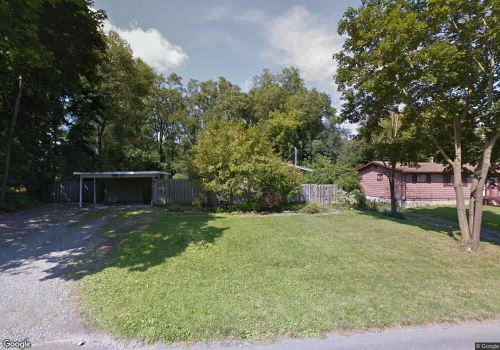
6727 Ramsgate Rd Chittenango, NY 13037
Estimated Value: $220,417 - $302,000
3
Beds
2
Baths
1,025
Sq Ft
$261/Sq Ft
Est. Value
About This Home
This home is located at 6727 Ramsgate Rd, Chittenango, NY 13037 and is currently estimated at $267,104, approximately $260 per square foot. 6727 Ramsgate Rd is a home located in Madison County with nearby schools including Chittenango High School.
Ownership History
Date
Name
Owned For
Owner Type
Purchase Details
Closed on
Aug 1, 2008
Sold by
Gargano Lisa
Bought by
Davidson Sheila
Current Estimated Value
Home Financials for this Owner
Home Financials are based on the most recent Mortgage that was taken out on this home.
Original Mortgage
$95,900
Outstanding Balance
$49,175
Interest Rate
6.47%
Mortgage Type
Purchase Money Mortgage
Estimated Equity
$217,929
Purchase Details
Closed on
Jul 15, 2004
Sold by
Fletcher Donald E
Bought by
Gargano Lisa C
Purchase Details
Closed on
May 1, 2003
Sold by
Fletcher Donald
Bought by
Fletcher Donald
Create a Home Valuation Report for This Property
The Home Valuation Report is an in-depth analysis detailing your home's value as well as a comparison with similar homes in the area
Home Values in the Area
Average Home Value in this Area
Purchase History
| Date | Buyer | Sale Price | Title Company |
|---|---|---|---|
| Davidson Sheila | $119,900 | -- | |
| Gargano Lisa C | $85,000 | -- | |
| Fletcher Donald | -- | -- |
Source: Public Records
Mortgage History
| Date | Status | Borrower | Loan Amount |
|---|---|---|---|
| Open | Davidson Sheila | $95,900 |
Source: Public Records
Tax History
| Year | Tax Paid | Tax Assessment Tax Assessment Total Assessment is a certain percentage of the fair market value that is determined by local assessors to be the total taxable value of land and additions on the property. | Land | Improvement |
|---|---|---|---|---|
| 2024 | $4,369 | $112,300 | $13,000 | $99,300 |
| 2023 | $4,349 | $112,300 | $13,000 | $99,300 |
| 2022 | $4,178 | $112,300 | $13,000 | $99,300 |
| 2021 | $4,150 | $112,300 | $13,000 | $99,300 |
| 2020 | $3,429 | $112,300 | $13,000 | $99,300 |
| 2019 | $3,263 | $112,300 | $13,000 | $99,300 |
| 2018 | $3,263 | $112,300 | $13,000 | $99,300 |
| 2017 | $3,267 | $112,300 | $13,000 | $99,300 |
| 2016 | $3,258 | $112,300 | $13,000 | $99,300 |
| 2015 | -- | $112,300 | $13,000 | $99,300 |
| 2014 | -- | $112,300 | $13,000 | $99,300 |
Source: Public Records
Map
Nearby Homes
- 6749 Ramsgate Rd
- 1235 State Route 5
- 2225 Gidran Dr
- 2229 Gidran Dr
- 1948 N Ridge Dr
- 1949 N Ridge Dr
- 2237 Gidran Dr
- 2249 Gidran Dr
- 1011 Gill St
- 5700 Harness Hook Ln
- 8768 State Route 5
- 117 Hawthorne Way
- 146 Hawthorne Way
- 620 Cain St
- 8583 Green Lakes Rd
- 000 Warren St
- 524 Tuscarora Rd
- 2233 Gidran Dr
- 0 Walnut Point Rd Unit S1594837
- 0 Walnut Point Rd Unit S1594838
- 6723 Ramsgate Rd
- 6729 Ramsgate Rd Unit 6733
- 4 Brentwood Rd
- 6719 Ramsgate Rd
- 6728 Ramsgate Rd
- 2 Brentwood Rd
- 6724 Ramsgate Rd
- 6732 Ramsgate Rd
- 6 Brentwood Rd
- 6720 Ramsgate Rd
- 6713 Ramsgate Rd
- 6716 Ramsgate Rd
- 1325 Heathfield Ln
- 5 Brentwood Rd
- 6731 Lonsdale Rd
- 6712 Ramsgate Rd
- 6727 Lonsdale Rd
- 6733 Lonsdale Rd
- 6723 Lonsdale Rd
- 1326 Heathfield Ln
Your Personal Tour Guide
Ask me questions while you tour the home.