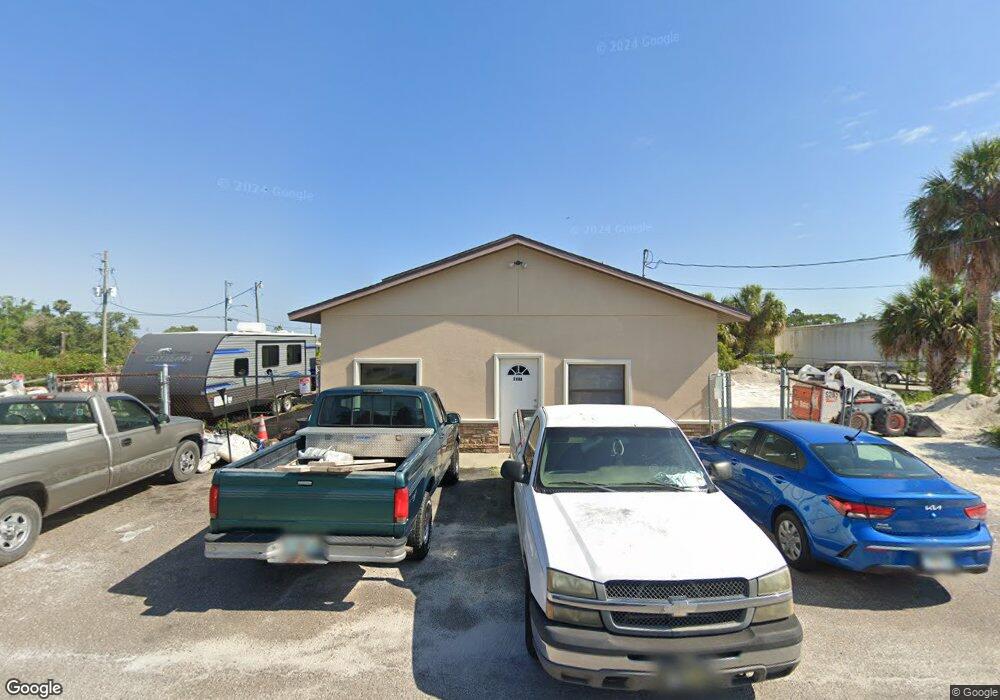
6727 Tower Dr Hudson, FL 34667
Studio
2
Baths
3,840
Sq Ft
12,197
Sq Ft Lot
About This Home
This home is located at 6727 Tower Dr, Hudson, FL 34667. 6727 Tower Dr is a home located in Pasco County with nearby schools including Gulf Highlands Elementary School, Hudson Middle School, and Fivay High School.
Ownership History
Date
Name
Owned For
Owner Type
Purchase Details
Closed on
Dec 29, 2020
Sold by
Dale Hayes Masonry Inc
Bought by
Grh Holdings Llc
Purchase Details
Closed on
Apr 28, 2010
Sold by
Republic Bank
Bought by
Dale Hayes Masonry Inc
Home Financials for this Owner
Home Financials are based on the most recent Mortgage that was taken out on this home.
Original Mortgage
$110,500
Interest Rate
4.99%
Mortgage Type
Seller Take Back
Purchase Details
Closed on
Dec 14, 2009
Sold by
Cts Management Llc
Bought by
Republic Bank & Trust Company and Gulfstream Community Bank
Purchase Details
Closed on
Nov 3, 2006
Sold by
Sanders Charles D and Sanders Tina M
Bought by
Cts Management Llc
Purchase Details
Closed on
Dec 19, 2005
Sold by
Mcmunn Patrick J
Bought by
Sanders Charles D and Sanders Tina M
Create a Home Valuation Report for This Property
The Home Valuation Report is an in-depth analysis detailing your home's value as well as a comparison with similar homes in the area
Home Values in the Area
Average Home Value in this Area
Purchase History
| Date | Buyer | Sale Price | Title Company |
|---|---|---|---|
| Grh Holdings Llc | -- | Attorney | |
| Dale Hayes Masonry Inc | $130,000 | Attorney | |
| Republic Bank & Trust Company | -- | Attorney | |
| Republic Bank & Trust Company | $50,100 | Attorney | |
| Cts Management Llc | -- | None Available | |
| Sanders Charles D | $142,000 | -- |
Source: Public Records
Mortgage History
| Date | Status | Borrower | Loan Amount |
|---|---|---|---|
| Previous Owner | Dale Hayes Masonry Inc | $110,500 |
Source: Public Records
Tax History
| Year | Tax Paid | Tax Assessment Tax Assessment Total Assessment is a certain percentage of the fair market value that is determined by local assessors to be the total taxable value of land and additions on the property. | Land | Improvement |
|---|---|---|---|---|
| 2026 | $4,276 | $337,555 | $44,345 | $293,210 |
| 2025 | $4,276 | $337,555 | $44,345 | $293,210 |
| 2024 | $4,276 | $365,954 | $44,345 | $321,609 |
| 2023 | $2,752 | $151,774 | $44,345 | $107,429 |
| 2022 | $2,479 | $159,580 | $44,345 | $115,235 |
| 2021 | $2,181 | $122,548 | $44,345 | $78,203 |
| 2020 | $1,914 | $105,676 | $23,043 | $82,633 |
| 2019 | $2,003 | $110,086 | $23,043 | $87,043 |
| 2018 | $1,913 | $104,053 | $23,043 | $81,010 |
| 2017 | $1,860 | $98,904 | $23,043 | $75,861 |
| 2016 | $1,881 | $104,173 | $23,043 | $81,130 |
| 2015 | $1,955 | $106,290 | $23,043 | $83,247 |
| 2014 | $1,825 | $101,829 | $23,043 | $78,786 |
Source: Public Records
Map
Nearby Homes
- 12913 1st Isle
- 6627 Tower Dr
- 13035 Keel Ct
- 13039 Keel Ct
- 0 Lisa Dr Unit W7846816
- 13008 Ballast Ct
- 12821 2nd Isle
- 0 Freeboard Ct
- 12804 2nd Isle
- 6517 Tower Dr
- 0 Indigo Ln Unit 2257847
- 6513 Tower Dr
- 12734 2nd Isle
- 0 1st Isle Unit MFRS5145242
- Lot 23 and S1/2 of 2 Indigo Ln
- Lot 34 Indigo Ln
- 13231 Carol Dr
- 6604 Saltwater Blvd
- 13121 Beacon Ct
- 13230 Jacaranda Ln
- 0 Tiller Dr Unit W7349129
- 0 Tiller Dr Unit W7844235
- 0 Tiller Dr Unit W7842845
- 12928 1st Isle
- 6715 Tower Dr
- 6737 Tower Dr
- 6720 Tower Dr
- 12924 1st Isle
- 6716 Tower Dr
- 6711 Tower Dr
- 6740 Tower Dr
- 13017 Tiller Dr
- 6712 Tower Dr
- 000 Tiller Dr
- 1415 Tiller Dr
- 12920 1st Isle
- 6801 Tower Dr
- 6703 Tower Dr
- 6708 Tower Dr
- 13027 Tiller Dr
Your Personal Tour Guide
Ask me questions while you tour the home.