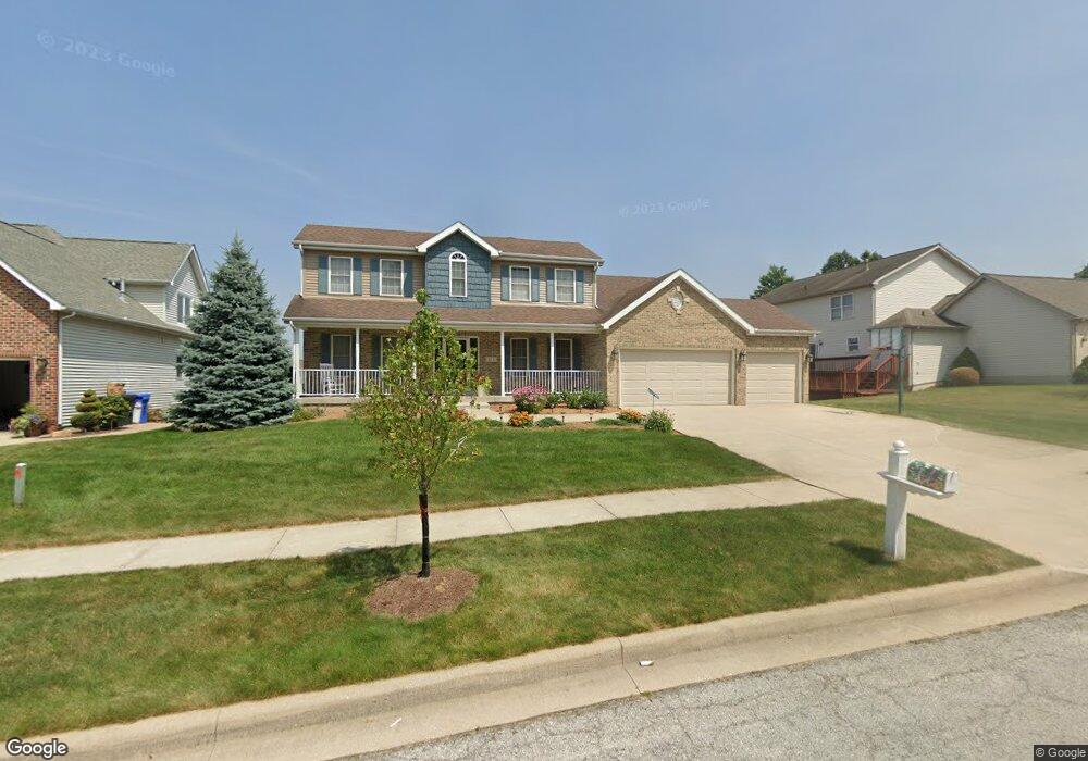
673 Davis Cir Crown Point, IN 46307
Estimated Value: $497,384 - $655,000
4
Beds
4
Baths
2,238
Sq Ft
$255/Sq Ft
Est. Value
About This Home
This home is located at 673 Davis Cir, Crown Point, IN 46307 and is currently estimated at $571,096, approximately $255 per square foot. 673 Davis Cir is a home located in Lake County with nearby schools including Lake Street Elementary School, Robert Taft Middle School, and Crown Point High School.
Ownership History
Date
Name
Owned For
Owner Type
Purchase Details
Closed on
Apr 9, 2021
Sold by
Stanley Karl E
Bought by
Stanley Karl E and Karl E Stanley Trust
Current Estimated Value
Purchase Details
Closed on
Jan 29, 2021
Sold by
Stanley Karl E
Bought by
Stanley Karl E and Karl E Stanley Trust
Purchase Details
Closed on
Aug 6, 2008
Sold by
Ogan Alan R and Ogan Lynn A
Bought by
Stanley Karl E and Stanley Lucinda A Ballet
Home Financials for this Owner
Home Financials are based on the most recent Mortgage that was taken out on this home.
Original Mortgage
$252,000
Outstanding Balance
$163,796
Interest Rate
6.39%
Mortgage Type
Purchase Money Mortgage
Estimated Equity
$407,300
Create a Home Valuation Report for This Property
The Home Valuation Report is an in-depth analysis detailing your home's value as well as a comparison with similar homes in the area
Home Values in the Area
Average Home Value in this Area
Purchase History
| Date | Buyer | Sale Price | Title Company |
|---|---|---|---|
| Stanley Karl E | -- | None Available | |
| Stanley Karl E | -- | None Available | |
| Stanley Karl E | -- | None Available | |
| Stanley Karl E | -- | Ticor Cp |
Source: Public Records
Mortgage History
| Date | Status | Borrower | Loan Amount |
|---|---|---|---|
| Open | Stanley Karl E | $252,000 |
Source: Public Records
Tax History
| Year | Tax Paid | Tax Assessment Tax Assessment Total Assessment is a certain percentage of the fair market value that is determined by local assessors to be the total taxable value of land and additions on the property. | Land | Improvement |
|---|---|---|---|---|
| 2025 | $4,446 | $435,000 | $79,000 | $356,000 |
| 2024 | $10,312 | $419,500 | $79,000 | $340,500 |
| 2023 | $4,401 | $375,200 | $67,700 | $307,500 |
| 2022 | $4,176 | $355,900 | $67,700 | $288,200 |
| 2021 | $3,969 | $344,600 | $52,600 | $292,000 |
| 2020 | $3,932 | $340,300 | $52,600 | $287,700 |
| 2019 | $3,980 | $340,300 | $52,600 | $287,700 |
| 2018 | $5,055 | $343,600 | $52,600 | $291,000 |
| 2017 | $4,673 | $317,300 | $52,600 | $264,700 |
| 2016 | $4,706 | $314,000 | $52,600 | $261,400 |
| 2014 | $4,161 | $298,800 | $52,600 | $246,200 |
| 2013 | $4,016 | $287,500 | $52,600 | $234,900 |
Source: Public Records
Map
Nearby Homes
- 817 Mary Ellen Dr
- 804 Shannon Dr
- 964 Ryan Ct
- 815 Hayfield Dr
- 437 Fairview Ave
- 629 W South St
- 802 Hayfield Dr
- 1089 George Ade Ct
- 1140 Hyde Park
- 1156 Donegal Ln
- 412 W South St
- 780 Williams Ct
- 12109 White Oak Dr
- 109 Elmwood Place
- 217 Crestview Ln
- 114 S Chase Dr
- 1002 Gordon Ct
- 903 S Main St
- 11606 Westvalley Dr
- 430 S East St
Your Personal Tour Guide
Ask me questions while you tour the home.