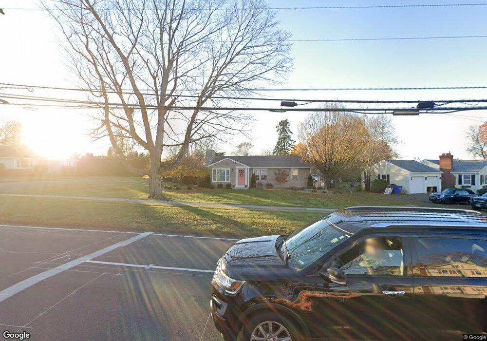
673 Maple St Wethersfield, CT 06109
Estimated Value: $311,000 - $404,000
2
Beds
1
Bath
1,156
Sq Ft
$315/Sq Ft
Est. Value
About This Home
This home is located at 673 Maple St, Wethersfield, CT 06109 and is currently estimated at $363,660, approximately $314 per square foot. 673 Maple St is a home located in Hartford County with nearby schools including Highcrest School, Silas Deane Middle School, and Wethersfield High School.
Ownership History
Date
Name
Owned For
Owner Type
Purchase Details
Closed on
Feb 11, 2020
Sold by
Tavana Ft
Bought by
Tavana Lilia
Current Estimated Value
Purchase Details
Closed on
Mar 26, 2004
Sold by
Schwartz Lynn S
Bought by
Tavana Lilia
Purchase Details
Closed on
Mar 27, 1995
Sold by
Bohman Marie K
Bought by
Bohman Bradley P and Bohman Donald L
Create a Home Valuation Report for This Property
The Home Valuation Report is an in-depth analysis detailing your home's value as well as a comparison with similar homes in the area
Home Values in the Area
Average Home Value in this Area
Purchase History
| Date | Buyer | Sale Price | Title Company |
|---|---|---|---|
| Tavana Lilia | -- | None Available | |
| Tavana Lilia | $53,400 | -- | |
| Tavana Lilia | $53,400 | -- | |
| Tavana Lilia | $53,400 | -- | |
| Bohman Bradley P | $175,000 | -- |
Source: Public Records
Mortgage History
| Date | Status | Borrower | Loan Amount |
|---|---|---|---|
| Previous Owner | Bohman Bradley P | $200,000 | |
| Previous Owner | Bohman Bradley P | $50,000 | |
| Previous Owner | Bohman Bradley P | $46,815 |
Source: Public Records
Tax History
| Year | Tax Paid | Tax Assessment Tax Assessment Total Assessment is a certain percentage of the fair market value that is determined by local assessors to be the total taxable value of land and additions on the property. | Land | Improvement |
|---|---|---|---|---|
| 2025 | $9,088 | $220,480 | $89,960 | $130,520 |
| 2024 | $6,386 | $147,750 | $72,830 | $74,920 |
| 2023 | $6,173 | $147,750 | $72,830 | $74,920 |
| 2022 | $6,070 | $147,750 | $72,830 | $74,920 |
| 2021 | $6,009 | $147,750 | $72,830 | $74,920 |
| 2020 | $6,012 | $147,750 | $72,830 | $74,920 |
| 2019 | $6,019 | $147,750 | $72,830 | $74,920 |
| 2018 | $5,893 | $144,500 | $69,200 | $75,300 |
| 2017 | $5,747 | $144,500 | $69,200 | $75,300 |
| 2016 | $5,569 | $144,500 | $69,200 | $75,300 |
| 2015 | $5,518 | $144,500 | $69,200 | $75,300 |
| 2014 | $5,309 | $144,500 | $69,200 | $75,300 |
Source: Public Records
Map
Nearby Homes
- 72 Concord Dr
- 50 Concord Dr Unit 50
- 11 Charter Rd
- 268 Fox Hill Rd
- 25 Sutton Rd
- 22 Winesap Cir Unit 22
- 18 Mcintosh Cir Unit 18
- 31 Ox Yoke Dr
- 89 Merriman Rd
- 38 Wheeler Rd
- 1610 Silas Deane Hwy
- 250 Edward St
- 92 Berkshire Rd
- 3 Colonial Dr Unit C
- 0 Collier Rd
- 155 Old Common Rd
- 101 Collier Rd
- 455 Brimfield Rd
- 59 Chapin Ave
- 137 Dale Rd
Your Personal Tour Guide
Ask me questions while you tour the home.