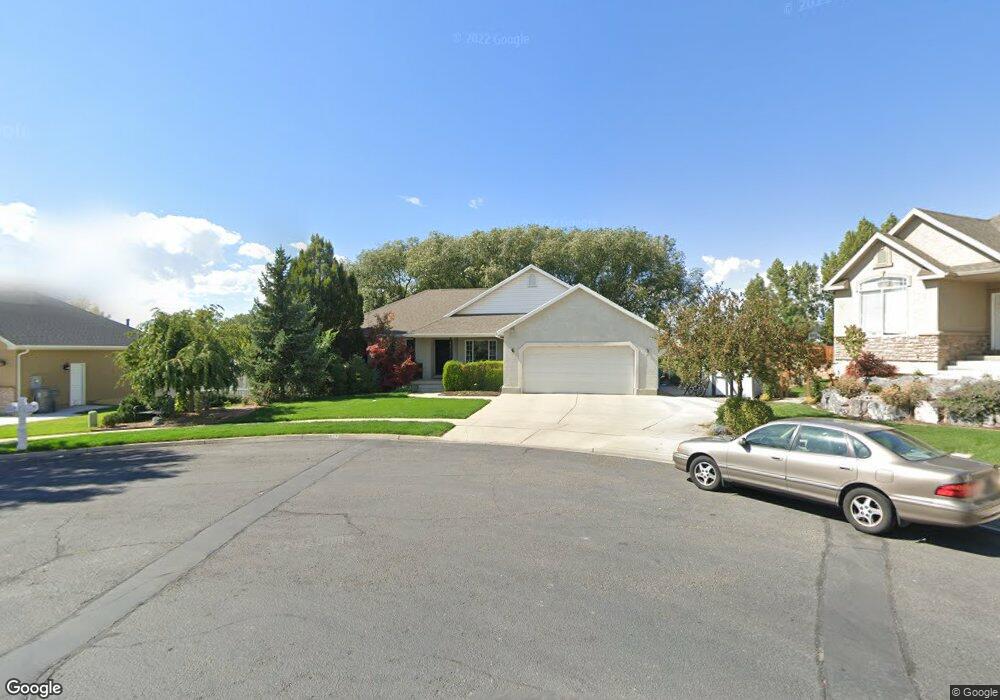
673 N 650 W Unit 6 American Fork, UT 84003
Estimated Value: $570,000 - $650,201
3
Beds
2
Baths
1,793
Sq Ft
$343/Sq Ft
Est. Value
About This Home
This home is located at 673 N 650 W Unit 6, American Fork, UT 84003 and is currently estimated at $614,300, approximately $342 per square foot. 673 N 650 W Unit 6 is a home located in Utah County with nearby schools including Shelley Elementary School, American Fork Junior High School, and American Fork High School.
Ownership History
Date
Name
Owned For
Owner Type
Purchase Details
Closed on
Jun 3, 2024
Sold by
Rich Family Revocable Trust and Rich Jeffrey G
Bought by
Jc Rich 4 Llc
Current Estimated Value
Purchase Details
Closed on
May 19, 2003
Sold by
Rich Jeffrey G and Rich Christine W
Bought by
Rich Jeffrey G and Rich Christine W
Purchase Details
Closed on
Jul 7, 1999
Sold by
Olsen Richard D and Olsen Bridget
Bought by
Rich Jeffrey G and Rich Christine W
Create a Home Valuation Report for This Property
The Home Valuation Report is an in-depth analysis detailing your home's value as well as a comparison with similar homes in the area
Home Values in the Area
Average Home Value in this Area
Purchase History
| Date | Buyer | Sale Price | Title Company |
|---|---|---|---|
| Jc Rich 4 Llc | -- | None Listed On Document | |
| Rich Jeffrey G | -- | -- | |
| Rich Jeffrey G | -- | Atlas Title |
Source: Public Records
Tax History Compared to Growth
Tax History
| Year | Tax Paid | Tax Assessment Tax Assessment Total Assessment is a certain percentage of the fair market value that is determined by local assessors to be the total taxable value of land and additions on the property. | Land | Improvement |
|---|---|---|---|---|
| 2025 | $2,748 | $326,425 | $235,500 | $358,000 |
| 2024 | $2,748 | $305,360 | $0 | $0 |
| 2023 | $2,602 | $306,570 | $0 | $0 |
| 2022 | $2,727 | $317,020 | $0 | $0 |
| 2021 | $2,338 | $424,500 | $169,000 | $255,500 |
| 2020 | $2,188 | $385,300 | $150,900 | $234,400 |
| 2019 | $2,053 | $373,900 | $139,600 | $234,300 |
| 2018 | $1,928 | $335,700 | $132,000 | $203,700 |
| 2017 | $1,854 | $174,295 | $0 | $0 |
| 2016 | $1,849 | $161,480 | $0 | $0 |
| 2015 | $1,867 | $154,770 | $0 | $0 |
| 2014 | $1,746 | $142,725 | $0 | $0 |
Source: Public Records
Map
Nearby Homes
- 962 N 780 St W Unit 508
- 974 N 780 St W Unit 509
- 916 N 780 St W Unit 501
- 822 W 800 St N Unit LOT319
- 822 N 860 W Unit 317
- 602 W 860 N
- 641 N 420 W
- 777 W State Rd
- 901 N Lakota Rd
- 3935 W 1000 N Unit 438
- 3983 W 1000 N Unit 442
- 4007 W 1000 N
- 3947 W 1000 N Unit 439
- 3959 W 1000 N
- 356 N 480 W
- 914 N 400 W Unit A
- 987 N 410 W
- 540 N 300 W
- 3889 W 950 Cir N Unit 366
- 471 W 1040 N