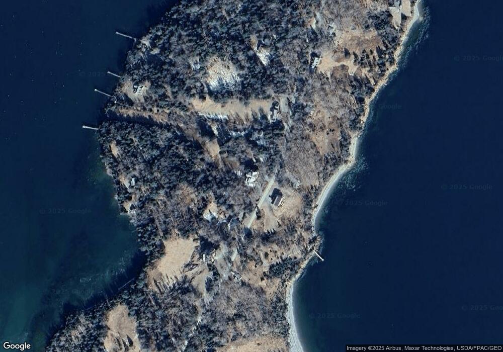
673 Pendleton Point Rd Islesboro, ME 04848
Estimated Value: $3,292,019
8
Beds
6
Baths
5,388
Sq Ft
$611/Sq Ft
Est. Value
About This Home
This home is located at 673 Pendleton Point Rd, Islesboro, ME 04848 and is currently estimated at $3,292,019, approximately $610 per square foot. 673 Pendleton Point Rd is a home located in Waldo County with nearby schools including Islesboro Central School.
Ownership History
Date
Name
Owned For
Owner Type
Purchase Details
Closed on
Oct 6, 2005
Sold by
Pauline M Low Ret
Bought by
Macdougall Michael G
Current Estimated Value
Home Financials for this Owner
Home Financials are based on the most recent Mortgage that was taken out on this home.
Original Mortgage
$1,000,000
Outstanding Balance
$526,755
Interest Rate
6%
Mortgage Type
Adjustable Rate Mortgage/ARM
Estimated Equity
$2,765,264
Create a Home Valuation Report for This Property
The Home Valuation Report is an in-depth analysis detailing your home's value as well as a comparison with similar homes in the area
Purchase History
| Date | Buyer | Sale Price | Title Company |
|---|---|---|---|
| Macdougall Michael G | -- | -- |
Source: Public Records
Mortgage History
| Date | Status | Borrower | Loan Amount |
|---|---|---|---|
| Open | Macdougall Michael G | $1,000,000 | |
| Closed | Macdougall Michael G | $320,000 |
Source: Public Records
Tax History
| Year | Tax Paid | Tax Assessment Tax Assessment Total Assessment is a certain percentage of the fair market value that is determined by local assessors to be the total taxable value of land and additions on the property. | Land | Improvement |
|---|---|---|---|---|
| 2024 | $20,015 | $1,681,900 | $615,400 | $1,066,500 |
| 2023 | $18,501 | $1,681,900 | $615,400 | $1,066,500 |
| 2022 | $18,329 | $1,018,300 | $436,100 | $582,200 |
| 2021 | $17,973 | $1,018,300 | $436,100 | $582,200 |
| 2020 | $17,311 | $1,018,300 | $436,100 | $582,200 |
| 2019 | $16,955 | $1,018,300 | $436,100 | $582,200 |
| 2018 | $16,649 | $1,018,300 | $436,100 | $582,200 |
| 2017 | $16,083 | $1,017,900 | $435,700 | $582,200 |
| 2016 | $16,022 | $1,017,900 | $435,700 | $582,200 |
| 2015 | $15,228 | $1,017,900 | $435,700 | $582,200 |
| 2014 | $14,385 | $1,185,900 | $507,600 | $678,300 |
| 2012 | $13,934 | $1,185,900 | $507,600 | $678,300 |
Source: Public Records
Map
Nearby Homes
- 108 Derby Rd
- 101 Derby Rd
- 371 Pendleton Point Rd
- 118 E East Shore Dr
- 228 Gooseberry Point Rd
- 521 W Bay Rd
- 292 & 300 Main Rd
- 292 Main Rd
- 376 W Bay Rd
- 364 & 367 Main Rd
- 300 Main Rd
- 399 Hermit's Point Rd
- 14-6 Atlantic Hwy
- 2Q Hermit's Point Rd
- 2531 Atlantic Hwy
- 33 Sea View Dr
- 2561 Atlantic Hwy
- 2813 Atlantic Hwy
- 10 Harbor Dr Unit 10
- 11 Iron Bluff Rd
- 674 Pendleton Point Rd
- 668 Pendleton Point Rd
- 659 Pendleton Point Rd
- 683 Pendleton Point Rd
- 657 Pendleton Point Rd
- 691 Pendleton Point Rd
- 652 Pendleton Point Rd
- 694 Pendleton Point Rd
- 223 Jetty Rd
- 642 Pendleton Point Rd
- 651 Pendleton Point Rd
- 634 Pendleton Point Rd
- 195 Jetty Rd
- 702 Pendleton Point Rd
- 161 Jetty Rd
- 171 Jetty Rd
- 719 Pendleton Point Rd
- 626 Pendleton Point Rd
- 621 Pendleton Point Rd
- 708 Pendleton Point Rd
Your Personal Tour Guide
Ask me questions while you tour the home.
