673 Robbie Ln Robertsville, MO 63072
Estimated Value: $331,000 - $592,135
3
Beds
3
Baths
2,754
Sq Ft
$155/Sq Ft
Est. Value
About This Home
This home is located at 673 Robbie Ln, Robertsville, MO 63072 and is currently estimated at $426,712, approximately $154 per square foot. 673 Robbie Ln is a home located in Franklin County with nearby schools including Pacific High School.
Ownership History
Date
Name
Owned For
Owner Type
Purchase Details
Closed on
Dec 15, 2020
Sold by
Snyder Brenda I
Bought by
Le Peter and Chu Angela
Current Estimated Value
Home Financials for this Owner
Home Financials are based on the most recent Mortgage that was taken out on this home.
Original Mortgage
$336,000
Outstanding Balance
$298,450
Interest Rate
2.7%
Mortgage Type
New Conventional
Estimated Equity
$128,262
Purchase Details
Closed on
Oct 19, 2007
Sold by
Petero Jammie and Petero Mary F
Bought by
Snyder John L and Snyder Brenda I
Create a Home Valuation Report for This Property
The Home Valuation Report is an in-depth analysis detailing your home's value as well as a comparison with similar homes in the area
Home Values in the Area
Average Home Value in this Area
Purchase History
| Date | Buyer | Sale Price | Title Company |
|---|---|---|---|
| Le Peter | -- | None Available | |
| Snyder John L | -- | None Available |
Source: Public Records
Mortgage History
| Date | Status | Borrower | Loan Amount |
|---|---|---|---|
| Open | Le Peter | $336,000 |
Source: Public Records
Tax History Compared to Growth
Tax History
| Year | Tax Paid | Tax Assessment Tax Assessment Total Assessment is a certain percentage of the fair market value that is determined by local assessors to be the total taxable value of land and additions on the property. | Land | Improvement |
|---|---|---|---|---|
| 2025 | $5,350 | $74,855 | $0 | $0 |
| 2024 | $5,350 | $68,528 | $0 | $0 |
| 2023 | $4,899 | $68,528 | $0 | $0 |
| 2022 | $4,912 | $75,192 | $0 | $0 |
| 2021 | $4,888 | $75,192 | $0 | $0 |
| 2020 | $4,346 | $67,027 | $0 | $0 |
| 2019 | $4,340 | $67,027 | $0 | $0 |
| 2018 | $3,895 | $58,971 | $0 | $0 |
| 2017 | $3,867 | $58,971 | $0 | $0 |
| 2016 | $3,548 | $53,532 | $0 | $0 |
| 2015 | $3,445 | $53,532 | $0 | $0 |
| 2014 | $3,402 | $53,743 | $0 | $0 |
Source: Public Records
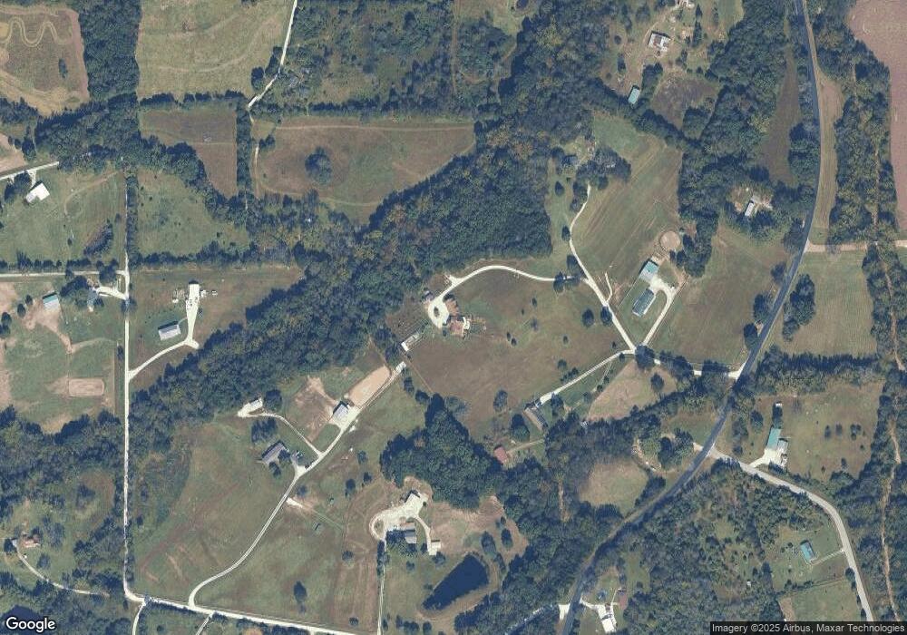
Map
Nearby Homes
- 0 Woodland Valley Dr Unit MAR25002747
- 563 Calvey Heights Ct
- 0 Watts Ridge Dr
- 5199 Highway N
- 4143 Highway N
- 175 Enchanted Oak Ct
- 0 Stone Ridge Rd Unit MAR25025168
- 1320 & 1330 Lake Shore Dr
- 4114 Evergreen St
- 4123 Evergreen St
- 4134 Evergreen St
- Lots 14&15 Evergreen St
- 5563 E Anding Dr
- 4150 S Shore Dr
- 4420 & 4424 S Shore Dr
- 4412 & 4416 S Shore Dr
- 4268 & 4272 S Shore Dr
- 4284 & 4288 S Shore Dr
- 4276 & 4280 S Shore Dr
- 4186 S Shore Dr
- 683 Robbie Ln
- 4938 Tammy Ln
- 682 Robbie Ln
- 647 Robbie Ln
- 1528 Stoney Creek Rd
- 1552 Stoney Creek Rd
- 1580 Stacy Ln
- 4901 Highway N
- 4857 Hwy N
- 4857 Highway N
- 1 Hwy N
- 4930 Highway N
- 4793 Highway N
- 999 Highway N
- 1694 Finney Rd
- 0 Hwy N Unit 80025639
- 0 Hwy N Unit 80027263
- 0 Hwy N Unit 80043035
- 0 Hwy N Unit 80003019
- 190 Hwy N