Estimated Value: $205,700 - $226,000
3
Beds
1
Bath
1,283
Sq Ft
$169/Sq Ft
Est. Value
About This Home
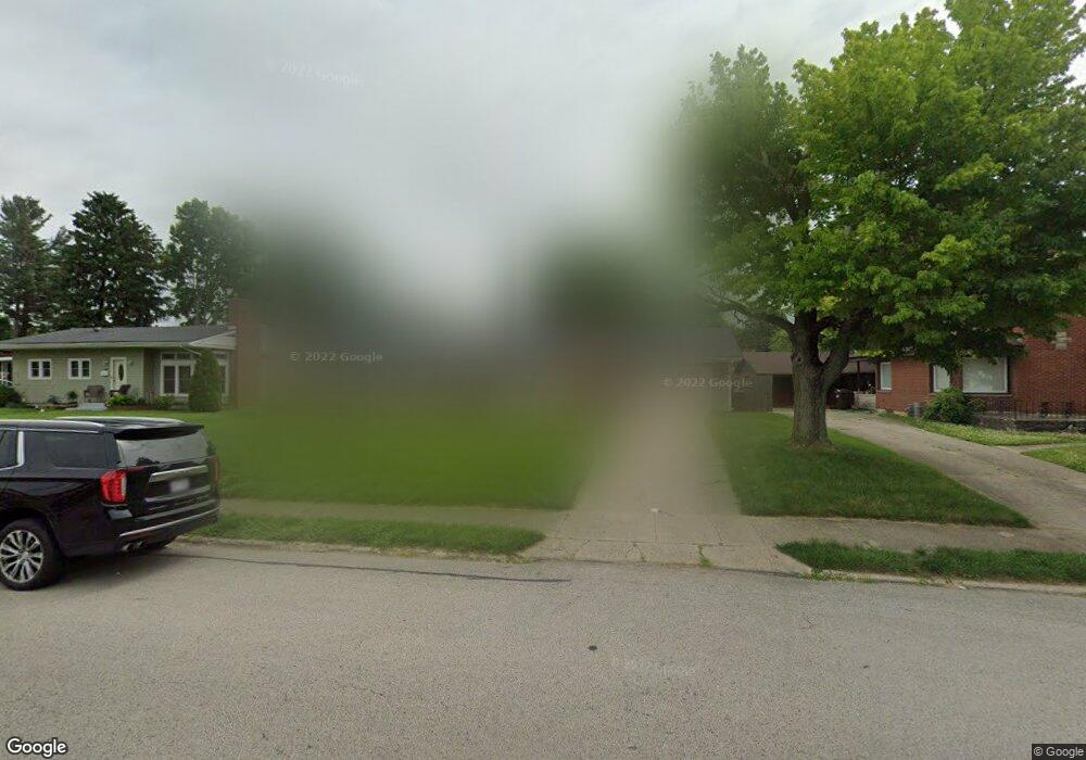
This home is located at 673 Sutton Dr, Xenia, OH 45385 and is currently estimated at $216,675, approximately $168 per square foot. 673 Sutton Dr is a home located in Greene County with nearby schools including Xenia High School, Summit Academy Community School for Alternative Learners - Xenia, and Legacy Christian Academy.
Ownership History
Date
Name
Owned For
Owner Type
Purchase Details
Closed on
Jan 20, 2017
Sold by
Baise Briana M and Creamer Ryan M
Bought by
Strong Drenda G and Strong Larry L
Current Estimated Value
Home Financials for this Owner
Home Financials are based on the most recent Mortgage that was taken out on this home.
Original Mortgage
$104,700
Outstanding Balance
$85,678
Interest Rate
4.3%
Mortgage Type
New Conventional
Estimated Equity
$130,997
Purchase Details
Closed on
Jan 5, 2012
Sold by
Keybank National Association
Bought by
Strong Larry L and Strong Drenda G
Purchase Details
Closed on
Oct 13, 2011
Sold by
Estate Of Joseph W Luttrel
Bought by
Keybank National Association
Create a Home Valuation Report for This Property
The Home Valuation Report is an in-depth analysis detailing your home's value as well as a comparison with similar homes in the area
Home Values in the Area
Average Home Value in this Area
Purchase History
| Date | Buyer | Sale Price | Title Company |
|---|---|---|---|
| Strong Drenda G | $108,000 | None Available | |
| Strong Larry L | $34,500 | Prism Title & Closing Servic | |
| Keybank National Association | $65,055 | Attorney |
Source: Public Records
Mortgage History
| Date | Status | Borrower | Loan Amount |
|---|---|---|---|
| Open | Strong Drenda G | $104,700 |
Source: Public Records
Tax History
| Year | Tax Paid | Tax Assessment Tax Assessment Total Assessment is a certain percentage of the fair market value that is determined by local assessors to be the total taxable value of land and additions on the property. | Land | Improvement |
|---|---|---|---|---|
| 2025 | $2,485 | $57,050 | $10,080 | $46,970 |
| 2024 | $2,485 | $53,960 | $10,080 | $43,880 |
| 2023 | $2,441 | $53,960 | $10,080 | $43,880 |
| 2022 | $1,977 | $39,410 | $6,300 | $33,110 |
| 2021 | $2,004 | $39,410 | $6,300 | $33,110 |
| 2020 | $1,920 | $39,410 | $6,300 | $33,110 |
| 2019 | $1,948 | $37,650 | $7,430 | $30,220 |
| 2018 | $1,956 | $40,670 | $7,430 | $33,240 |
| 2017 | $1,916 | $40,670 | $7,430 | $33,240 |
| 2016 | $1,916 | $36,200 | $7,430 | $28,770 |
| 2015 | $1,922 | $36,200 | $7,430 | $28,770 |
| 2014 | $1,840 | $36,200 | $7,430 | $28,770 |
Source: Public Records
Map
Nearby Homes
- 659 Sutton Dr
- 689 Sutton Dr
- 734 N Monroe Dr
- 748 N Monroe Dr
- 699 Smith Ave
- 641 Sutton Dr
- 707 Sutton Dr
- 698 Smith Ave
- 718 N Monroe Dr
- 764 N Monroe Dr
- 689 Smith Ave
- 689 Smith Ave Unit Downstairs
- 686 Smith Ave
- 721 Sutton Dr
- 629 Sutton Dr
- 634 Sutton Dr
- 700 N Monroe Dr
- 722 Sutton Dr
- 674 Smith Ave
- 671 Smith Ave
Your Personal Tour Guide
Ask me questions while you tour the home.