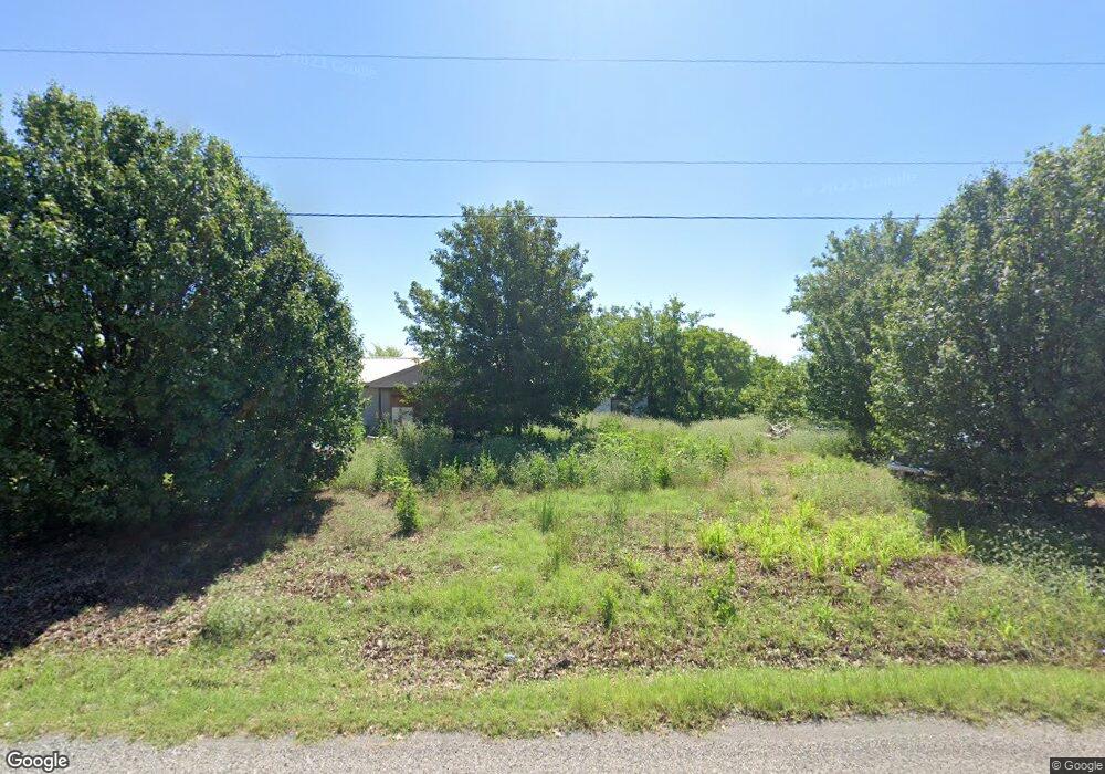
6730 N 29th St Duncan, OK 73533
Estimated Value: $77,000 - $162,000
2
Beds
1
Bath
960
Sq Ft
$110/Sq Ft
Est. Value
About This Home
This home is located at 6730 N 29th St, Duncan, OK 73533 and is currently estimated at $105,175, approximately $109 per square foot. 6730 N 29th St is a home located in Stephens County with nearby schools including Marlow Elementary School, Marlow Middle School, and Marlow High School.
Ownership History
Date
Name
Owned For
Owner Type
Purchase Details
Closed on
Nov 30, 2013
Sold by
Hlavaty Benny C and Hlavaty Rhonda
Bought by
Hampton Michael W and Hampton Sandra L
Current Estimated Value
Home Financials for this Owner
Home Financials are based on the most recent Mortgage that was taken out on this home.
Original Mortgage
$48,000
Interest Rate
4.14%
Mortgage Type
Unknown
Purchase Details
Closed on
Feb 16, 2001
Sold by
Moore Jerry and Moore Dorothy
Purchase Details
Closed on
Oct 21, 1996
Sold by
Moore Florene E
Create a Home Valuation Report for This Property
The Home Valuation Report is an in-depth analysis detailing your home's value as well as a comparison with similar homes in the area
Home Values in the Area
Average Home Value in this Area
Purchase History
| Date | Buyer | Sale Price | Title Company |
|---|---|---|---|
| Hampton Michael W | $56,500 | None Available | |
| -- | $42,000 | -- | |
| -- | -- | -- |
Source: Public Records
Mortgage History
| Date | Status | Borrower | Loan Amount |
|---|---|---|---|
| Closed | Hampton Michael W | $48,000 |
Source: Public Records
Tax History Compared to Growth
Tax History
| Year | Tax Paid | Tax Assessment Tax Assessment Total Assessment is a certain percentage of the fair market value that is determined by local assessors to be the total taxable value of land and additions on the property. | Land | Improvement |
|---|---|---|---|---|
| 2025 | $178 | $1,765 | $707 | $1,058 |
| 2024 | $172 | $1,681 | $667 | $1,014 |
| 2023 | $172 | $1,601 | $511 | $1,090 |
| 2022 | $171 | $1,667 | $511 | $1,156 |
| 2021 | $474 | $6,258 | $417 | $5,841 |
| 2020 | $460 | $5,918 | $417 | $5,501 |
| 2019 | $467 | $6,023 | $417 | $5,606 |
| 2018 | $479 | $6,304 | $417 | $5,887 |
| 2017 | $462 | $6,015 | $417 | $5,598 |
| 2016 | $488 | $6,301 | $417 | $5,884 |
| 2015 | $319 | $6,301 | $417 | $5,884 |
| 2014 | $319 | $6,301 | $417 | $5,884 |
Source: Public Records
Map
Nearby Homes
- 280785 Scissortail Dr
- ???? Gatlin
- 4179 W Gatlin Rd
- 0 N 44th St
- 1060 W Osage Rd
- 1100 W Osage Rd
- 161616 N Highway 81
- E Gatlin Rd Unit Marlow OK 73055
- 280979 Shamrock Rd
- 279389 State Highway 7
- 1015 1015 W Camelback
- 0 Clear Springs Dr
- 3412 Fox Hollow Rd
- 3005 W Foxboro
- 4590 N 5th St
- 0 N 5th St
- 1209 Bent Tree St
- 2814 2814 Springdale Ln
- 3505 Spencer Rd
- 1205 1205 Timbercreek Dr
- 241 Rr 2
- 2915 Whipporwill Ln
- 2920 Whipporwill Ln
- 2925 Whippoorwill Ln
- 3010 Whippoorwill Ln
- 6915 N 29th St
- 3015 Whipporwill Ln
- 2920 Scissortail Dr
- 3020 Whipporwill Ln
- 3010 Scissortail Dr
- 3025 Whipporwill Ln
- 280962 Scissortail Dr
- 3125 Whipporwill Ln
- 280924 Scissortail Dr
- 3110 Whipporwill Ln
- 280875 Scissortail Dr
- 3015 Scissortail Dr
- 3110 Scissortail Dr
- 3120 Whipporwill Ln
- 246 Rr 2