6731 Colt Trail Burlington, NC 27217
Estimated Value: $266,000 - $333,000
3
Beds
2
Baths
2,052
Sq Ft
$144/Sq Ft
Est. Value
About This Home
This home is located at 6731 Colt Trail, Burlington, NC 27217 and is currently estimated at $294,667, approximately $143 per square foot. 6731 Colt Trail is a home located in Alamance County with nearby schools including Altamahaw Ossipee Elementary School, Woodlawn Middle School, and Eastern Alamance High School.
Ownership History
Date
Name
Owned For
Owner Type
Purchase Details
Closed on
Jan 21, 2014
Sold by
Mangin David M
Bought by
Hornung Elizabeth J
Current Estimated Value
Home Financials for this Owner
Home Financials are based on the most recent Mortgage that was taken out on this home.
Original Mortgage
$107,142
Outstanding Balance
$81,010
Interest Rate
4.43%
Mortgage Type
New Conventional
Estimated Equity
$213,657
Create a Home Valuation Report for This Property
The Home Valuation Report is an in-depth analysis detailing your home's value as well as a comparison with similar homes in the area
Home Values in the Area
Average Home Value in this Area
Purchase History
| Date | Buyer | Sale Price | Title Company |
|---|---|---|---|
| Hornung Elizabeth J | $105,000 | -- |
Source: Public Records
Mortgage History
| Date | Status | Borrower | Loan Amount |
|---|---|---|---|
| Open | Hornung Elizabeth J | $107,142 |
Source: Public Records
Tax History Compared to Growth
Tax History
| Year | Tax Paid | Tax Assessment Tax Assessment Total Assessment is a certain percentage of the fair market value that is determined by local assessors to be the total taxable value of land and additions on the property. | Land | Improvement |
|---|---|---|---|---|
| 2025 | $1,642 | $276,494 | $28,684 | $247,810 |
| 2024 | $1,526 | $276,494 | $28,684 | $247,810 |
| 2023 | $1,417 | $276,494 | $28,684 | $247,810 |
| 2022 | $983 | $128,309 | $19,503 | $108,806 |
| 2021 | $970 | $128,309 | $19,503 | $108,806 |
| 2020 | $983 | $128,309 | $19,503 | $108,806 |
| 2019 | $988 | $128,309 | $19,503 | $108,806 |
| 2018 | $0 | $128,309 | $19,503 | $108,806 |
| 2017 | $873 | $128,309 | $19,503 | $108,806 |
| 2016 | $1,078 | $158,524 | $19,503 | $139,021 |
| 2015 | $1,041 | $158,524 | $19,503 | $139,021 |
| 2014 | $962 | $158,524 | $19,503 | $139,021 |
Source: Public Records
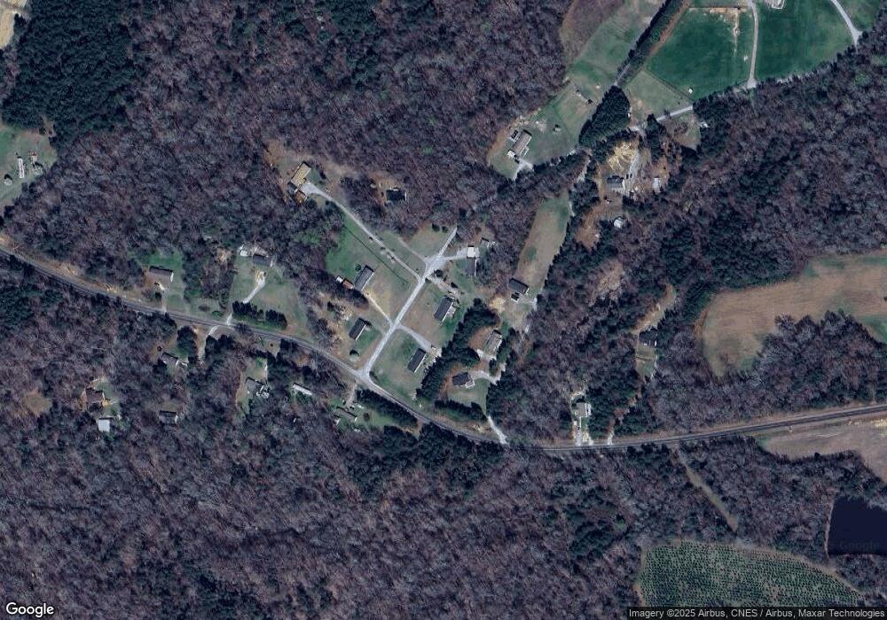
Map
Nearby Homes
- 2533 Holly Brook Dr
- 5080 Indian Camp Rd
- 2776 Pleasant Grove Union School Rd
- 0 Willie Pace Rd
- 2048 Churchill Dr
- 2265 Hughes Mill Rd
- 2343 Hughes Mill Rd
- 2373 Hughes Mill Rd
- 2323 Hughes Mill Rd
- Lot 15 Crumpton Trail
- Lot 14 Crumpton Trail
- 00 Hughes Mill Rd
- 2365 Hughes Mill Rd
- 2379 Hughes Mill Rd
- 000 Durham St
- 0000 Durham Street Extension
- 5365 N Nc Highway 49
- 2848 John Lewis Rd
- 2830 Barnett Rd
- 2819 John Lewis Rd
- 6741 Colt Trail
- 6818 Flyway Run
- 6810 Flyway Run
- 6708 Colt Trail
- 6722 Colt Trail
- LOT 5 Mc Cauley Rd
- LOT 6 Mc Cauley Rd
- Lot 8 Mc Cauley Rd
- Lot 7 Mc Cauley Rd
- 0 Mc Cauley Rd
- 00 Mc Cauley Rd
- 6830 Flyway Run
- 6845 Flyway Run
- 6730 Colt Trail
- 2006 Mc Cauley Rd
- 2120 Mccauley Rd
- 6748 Colt Trail
- 0 Mccauley Unit 28646
- 0 Mccauley Unit 28647
- 00 Mccauley Rd