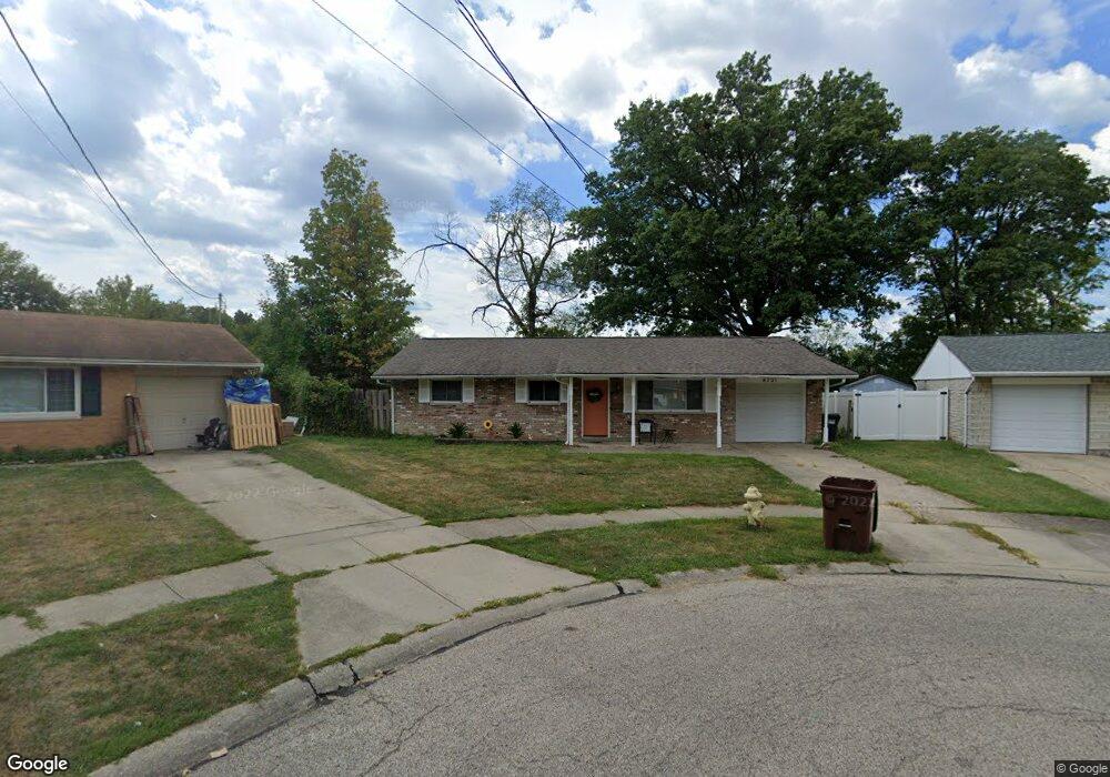
6731 Grange Ct Cincinnati, OH 45239
Estimated Value: $201,973 - $215,000
3
Beds
3
Baths
1,264
Sq Ft
$166/Sq Ft
Est. Value
About This Home
This home is located at 6731 Grange Ct, Cincinnati, OH 45239 and is currently estimated at $209,993, approximately $166 per square foot. 6731 Grange Ct is a home located in Hamilton County with nearby schools including White Oak Middle School, Colerain High School, and Cincinnati Achievement Academy.
Ownership History
Date
Name
Owned For
Owner Type
Purchase Details
Closed on
May 1, 2000
Sold by
Marshall Hilda J
Bought by
Marshall Tangie F
Current Estimated Value
Home Financials for this Owner
Home Financials are based on the most recent Mortgage that was taken out on this home.
Original Mortgage
$79,959
Outstanding Balance
$27,862
Interest Rate
8.26%
Mortgage Type
FHA
Estimated Equity
$182,131
Create a Home Valuation Report for This Property
The Home Valuation Report is an in-depth analysis detailing your home's value as well as a comparison with similar homes in the area
Home Values in the Area
Average Home Value in this Area
Purchase History
| Date | Buyer | Sale Price | Title Company |
|---|---|---|---|
| Marshall Tangie F | $80,000 | -- |
Source: Public Records
Mortgage History
| Date | Status | Borrower | Loan Amount |
|---|---|---|---|
| Open | Marshall Tangie F | $79,959 |
Source: Public Records
Tax History Compared to Growth
Tax History
| Year | Tax Paid | Tax Assessment Tax Assessment Total Assessment is a certain percentage of the fair market value that is determined by local assessors to be the total taxable value of land and additions on the property. | Land | Improvement |
|---|---|---|---|---|
| 2024 | $2,309 | $43,103 | $8,785 | $34,318 |
| 2023 | $2,323 | $43,103 | $8,785 | $34,318 |
| 2022 | $1,694 | $25,589 | $6,899 | $18,690 |
| 2021 | $1,680 | $25,589 | $6,899 | $18,690 |
| 2020 | $1,697 | $25,589 | $6,899 | $18,690 |
| 2019 | $1,542 | $21,683 | $5,845 | $15,838 |
| 2018 | $1,384 | $21,683 | $5,845 | $15,838 |
| 2017 | $1,312 | $21,683 | $5,845 | $15,838 |
| 2016 | $1,553 | $25,396 | $8,050 | $17,346 |
| 2015 | $1,569 | $25,396 | $8,050 | $17,346 |
| 2014 | $1,571 | $25,396 | $8,050 | $17,346 |
| 2013 | $1,624 | $27,605 | $8,750 | $18,855 |
Source: Public Records
Map
Nearby Homes
- 2481 Crosley Meadow
- 6851 Rutherford Ct
- 2598 Byrneside Dr
- 2412 Amelia Ct
- 2536 Flanigan Ct
- 2532 Flanigan Ct
- 2424 Banning Rd
- 2811 Breezy Way
- 2503 Flanigan Ct
- 5851 Monfort Hills Ave
- 5970 Colerain Ave
- 2342 Banning Rd
- 5845 Shadymist Ln
- 2606 Kipling Ave
- 3041 Preserve Ln
- 2603 Kipling Ave
- 2268 Deblin Dr
- 6792 Golfway Dr
- 2347 Golf Dr
- 2390 Golf Dr
- 6757 Grange Ct
- 6720 Memory Ln
- 6690 Memory Ln
- 6748 Memory Ln
- 6783 Grange Ct
- 6704 Grange Ct
- 6778 Memory Ln
- 2598 Highwood Ln
- 6730 Grange Ct
- 2590 Highwood Ln
- 6756 Grange Ct
- 2582 Highwood Ln
- 6782 Grange Ct
- 6811 Grange Ct
- 6796 Memory Ln
- 6721 Memory Ln
- 6691 Memory Ln
- 6749 Memory Ln
- 6663 Memory Ln
- 2468 Amelia Ct