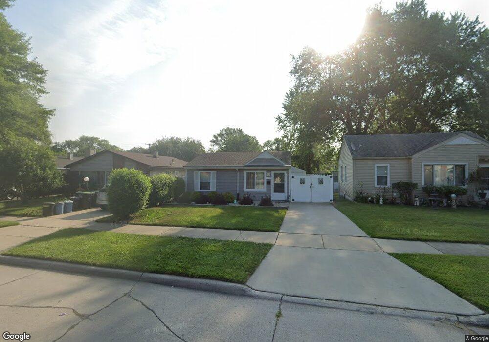
6731 Marvin St Unit Bldg-Unit Taylor, MI 48180
Estimated Value: $147,655 - $154,000
--
Bed
1
Bath
912
Sq Ft
$167/Sq Ft
Est. Value
About This Home
This home is located at 6731 Marvin St Unit Bldg-Unit, Taylor, MI 48180 and is currently estimated at $152,414, approximately $167 per square foot. 6731 Marvin St Unit Bldg-Unit is a home located in Wayne County with nearby schools including Clarence Randall Elementary School, Hoover Middle School, and Taylor High School.
Ownership History
Date
Name
Owned For
Owner Type
Purchase Details
Closed on
Feb 26, 2018
Sold by
Perri Larry and Perri Lucia F
Bought by
Haveman Stefanie
Current Estimated Value
Purchase Details
Closed on
Feb 5, 2015
Sold by
Home Opportunity Llc
Bought by
Perri Larry
Purchase Details
Closed on
Apr 9, 2013
Sold by
Transportation Alliance Bank Inc
Bought by
Home Opportunity Llc
Purchase Details
Closed on
Jul 30, 2012
Sold by
Mom Haven 13 Lp
Bought by
Transportation Alliance Bank Inc
Purchase Details
Closed on
May 13, 2011
Sold by
Wells Fargo Bank National Association
Bought by
Mom Haven 13 L P
Purchase Details
Closed on
Aug 5, 2010
Sold by
Centers Jeffrey Scott
Bought by
Wells Fargo Bank National Association
Purchase Details
Closed on
Apr 5, 2002
Sold by
Angela M Centers
Bought by
Jeffrey S Centers
Create a Home Valuation Report for This Property
The Home Valuation Report is an in-depth analysis detailing your home's value as well as a comparison with similar homes in the area
Home Values in the Area
Average Home Value in this Area
Purchase History
| Date | Buyer | Sale Price | Title Company |
|---|---|---|---|
| Haveman Stefanie | $95,000 | Michigan Title Ins Agency In | |
| Perri Larry | $11,500 | First American Title Ins Co | |
| Home Opportunity Llc | -- | None Available | |
| Transportation Alliance Bank Inc | $10,869 | None Available | |
| Mom Haven 13 L P | -- | None Available | |
| Wells Fargo Bank National Association | $110,126 | None Available | |
| Jeffrey S Centers | -- | -- |
Source: Public Records
Tax History Compared to Growth
Tax History
| Year | Tax Paid | Tax Assessment Tax Assessment Total Assessment is a certain percentage of the fair market value that is determined by local assessors to be the total taxable value of land and additions on the property. | Land | Improvement |
|---|---|---|---|---|
| 2025 | $1,577 | $63,000 | $0 | $0 |
| 2024 | $1,577 | $58,600 | $0 | $0 |
| 2023 | $1,882 | $50,700 | $0 | $0 |
| 2022 | $1,505 | $49,000 | $0 | $0 |
| 2021 | $1,656 | $41,500 | $0 | $0 |
| 2020 | $1,639 | $35,400 | $0 | $0 |
| 2019 | $163,877 | $30,900 | $0 | $0 |
| 2018 | $697 | $24,200 | $0 | $0 |
| 2017 | $206 | $7,700 | $0 | $0 |
| 2016 | $1,439 | $7,500 | $0 | $0 |
| 2015 | $1,920 | $19,200 | $0 | $0 |
| 2013 | $2,140 | $22,100 | $0 | $0 |
| 2012 | $827 | $21,900 | $7,800 | $14,100 |
Source: Public Records
Map
Nearby Homes
- 6810 Oldham St
- 6962 Beech Daly Rd
- 0000 Ecorse Rd
- 26215 Beverly Rd
- 26009 1st St Unit RA005
- 26111 1st St Unit RA020
- 7306 Chesterfield St Unit RA254
- 7312 Chesterfield St Unit 257
- 7316 Chesterfield St Unit RA259
- 26112 3rd St Unit 102
- 26116 3rd St Unit RA104
- 6363 Mcguire St
- 26023 3rd St Unit RA120
- 26118 4th St Unit RA159
- 6338 Marvin St
- 26127 3rd St Unit RA134
- 26020 5th St Unit RA198
- 26018 5th St Unit 197
- 7330 Chesterfield St Unit RA266
- 26118 5th St Unit RA211
- 6731 Marvin St
- 6723 Marvin St
- 6747 Marvin St
- 6715 Marvin St
- 6755 Marvin St
- 6707 Marvin St
- 6728 Mcguire St
- 6763 Marvin St
- 6712 Mcguire St
- 6754 Mcguire St
- 6706 Mcguire St
- 6738 Marvin St Unit Bldg-Unit
- 6738 Marvin St
- 6714 Marvin St
- 6690 Mcguire St
- 6746 Marvin St
- 6706 Marvin St
- 6774 Mcguire St
- 6754 Marvin St Unit Bldg-Unit
- 6754 Marvin St