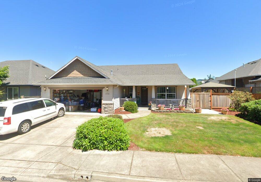
6732 Aaron Ln Springfield, OR 97478
Thurston NeighborhoodEstimated Value: $470,373 - $534,000
About This Home
This home is located at 6732 Aaron Ln, Springfield, OR 97478 and is currently estimated at $501,593, approximately $295 per square foot. 6732 Aaron Ln is a home located in Lane County with nearby schools including Thurston Elementary School, Thurston Middle School, and Thurston High School.
Ownership History
We collect this data history from publicly available records. To have your information removed, we recommend requesting removal directly through your county’s website.
Purchase Details
Home Financials for this Owner
Home Financials are based on the most recent Mortgage that was taken out on this home.Home Values in the Area
Average Home Value in this Area
Purchase History
We collect this data history from publicly available records. To have your information removed, we recommend requesting removal directly through your county’s website.
| Date | Buyer | Sale Price | Title Company |
|---|---|---|---|
| $170,000 | Cascade Title Co |
Mortgage History
We collect this data history from publicly available records. To have your information removed, we recommend requesting removal directly through your county’s website.
| Date | Status | Borrower | Loan Amount |
|---|---|---|---|
| Open | $161,500 |
Tax History
We collect this data history from publicly available records. To have your information removed, we recommend requesting removal directly through your county’s website.
| Year | Tax Paid | Tax Assessment Tax Assessment Total Assessment is a certain percentage of the fair market value that is determined by local assessors to be the total taxable value of land and additions on the property. | Land | Improvement |
|---|---|---|---|---|
| 2025 | $5,422 | $295,685 | -- | -- |
| 2024 | $5,334 | $287,073 | -- | -- |
| 2023 | $5,334 | $278,712 | $0 | $0 |
| 2022 | $4,940 | $270,595 | $0 | $0 |
| 2021 | $4,852 | $262,714 | $0 | $0 |
| 2020 | $4,710 | $255,063 | $0 | $0 |
| 2019 | $4,569 | $247,634 | $0 | $0 |
| 2018 | $4,307 | $233,419 | $0 | $0 |
| 2017 | $4,141 | $233,419 | $0 | $0 |
| 2016 | $4,054 | $226,620 | $0 | $0 |
| 2015 | $3,935 | $220,019 | $0 | $0 |
| 2014 | $3,874 | $213,611 | $0 | $0 |
Map
- 6718 Jacob Ln
- 6876 Simeon Dr
- 6898 Thurston Rd
- 155 66th St
- 6616 E St
- 3283 Mountain Creek Ln
- 690 71st St
- 0 71st St
- 522 65th St
- 6952 C St
- 302 67th St
- 0 Omlid Dr Unit 26
- 0 Omlid Dr Unit 11
- 0 Omlid Dr Unit 2
- 0 Omlid Dr Unit 3
- 0 Omlid Dr Unit 27
- 0 Omlid Dr Unit 10
- 0 Omlid Dr Unit 1
- 667 72nd St
- 468 72nd St
Ask me questions while you tour the home.