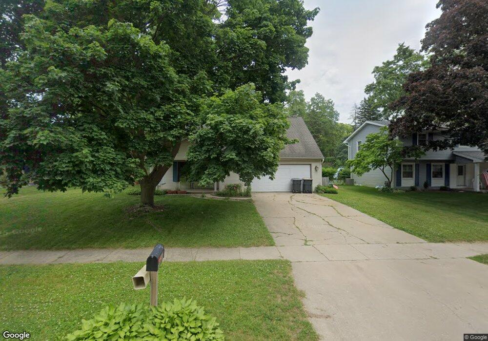
6733 Marlow St Portage, MI 49024
Estimated Value: $292,000 - $318,000
4
Beds
3
Baths
2,456
Sq Ft
$124/Sq Ft
Est. Value
About This Home
This home is located at 6733 Marlow St, Portage, MI 49024 and is currently estimated at $304,433, approximately $123 per square foot. 6733 Marlow St is a home located in Kalamazoo County with nearby schools including Haverhill Elementary School, Portage North Middle School, and Portage Northern High School.
Ownership History
Date
Name
Owned For
Owner Type
Purchase Details
Closed on
Jul 18, 2005
Sold by
Daily Troy S
Bought by
Lunney Michael J and Lunney Cynthia R
Current Estimated Value
Home Financials for this Owner
Home Financials are based on the most recent Mortgage that was taken out on this home.
Original Mortgage
$142,400
Outstanding Balance
$74,718
Interest Rate
5.74%
Mortgage Type
Fannie Mae Freddie Mac
Estimated Equity
$229,715
Create a Home Valuation Report for This Property
The Home Valuation Report is an in-depth analysis detailing your home's value as well as a comparison with similar homes in the area
Home Values in the Area
Average Home Value in this Area
Purchase History
| Date | Buyer | Sale Price | Title Company |
|---|---|---|---|
| Lunney Michael J | $178,000 | Chicago Title |
Source: Public Records
Mortgage History
| Date | Status | Borrower | Loan Amount |
|---|---|---|---|
| Open | Lunney Michael J | $142,400 |
Source: Public Records
Tax History Compared to Growth
Tax History
| Year | Tax Paid | Tax Assessment Tax Assessment Total Assessment is a certain percentage of the fair market value that is determined by local assessors to be the total taxable value of land and additions on the property. | Land | Improvement |
|---|---|---|---|---|
| 2025 | $4,329 | $142,600 | $0 | $0 |
| 2024 | $3,811 | $141,100 | $0 | $0 |
| 2023 | $3,544 | $124,200 | $0 | $0 |
| 2022 | $3,829 | $102,900 | $0 | $0 |
| 2021 | $3,701 | $99,700 | $0 | $0 |
| 2020 | $3,620 | $93,600 | $0 | $0 |
| 2019 | $326 | $88,500 | $0 | $0 |
| 2018 | $0 | $86,900 | $0 | $0 |
| 2017 | $0 | $86,700 | $0 | $0 |
| 2016 | -- | $84,300 | $0 | $0 |
| 2015 | -- | $77,800 | $0 | $0 |
| 2014 | -- | $74,200 | $0 | $0 |
Source: Public Records
Map
Nearby Homes
- 6827 Marlow St
- 6803 Fescue St
- 1710 Greenview Ave
- 6803 Bluegrass St
- 6514 Marlow St
- 6745 Oakland Dr
- 1998 Brighton Ln Unit 16
- 2029 Brighton Ln Unit 7
- 1922 Brighton Ln Unit 31
- 1010 Romence Rd
- 1332 Sussex St
- 6303 Surrey St
- 6325 Avon St
- 6238 Hampton St
- 1828 Woodland Dr
- 6748 Trotwood St
- 6636 Trotwood St
- 6235 Oakland Dr
- 7160 Crown Pointe Cir
- 7337 Starbrook St
- 6725 Marlow St
- 6741 Marlow St
- 6734 Manhattan St
- 6742 Manhattan St
- 6726 Manhattan St
- 6749 Marlow St
- 6734 Marlow St
- 6750 Manhattan St
- 6726 Marlow St
- 6742 Marlow St
- 6801 Marlow St
- 6750 Marlow St
- 6802 Manhattan St
- 6809 Marlow St
- 6802 Marlow St
- 6733 Manhattan St
- 6810 Manhattan St
- 6733 Buckhorn St
- 6725 Manhattan St
- 6741 Manhattan St