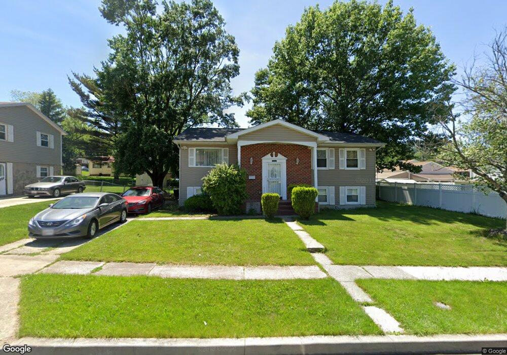
6735 Brompton Rd Gwynn Oak, MD 21207
Estimated Value: $293,858 - $370,000
Studio
3
Baths
1,320
Sq Ft
$258/Sq Ft
Est. Value
About This Home
This home is located at 6735 Brompton Rd, Gwynn Oak, MD 21207 and is currently estimated at $340,965, approximately $258 per square foot. 6735 Brompton Rd is a home located in Baltimore County with nearby schools including Woodmoor Elementary School, Woodlawn Middle School, and Woodlawn High School.
Ownership History
Date
Name
Owned For
Owner Type
Purchase Details
Closed on
Mar 8, 2010
Sold by
Mitchell Doris
Bought by
Mitchell Doris
Current Estimated Value
Purchase Details
Closed on
Nov 9, 1993
Sold by
Brown G A
Bought by
Mitchell Doris
Home Financials for this Owner
Home Financials are based on the most recent Mortgage that was taken out on this home.
Original Mortgage
$119,750
Interest Rate
6.83%
Purchase Details
Closed on
Dec 8, 1992
Sold by
Gough Theresa E
Bought by
Brown George A
Create a Home Valuation Report for This Property
The Home Valuation Report is an in-depth analysis detailing your home's value as well as a comparison with similar homes in the area
Home Values in the Area
Average Home Value in this Area
Purchase History
| Date | Buyer | Sale Price | Title Company |
|---|---|---|---|
| Mitchell Doris | -- | -- | |
| Mitchell Doris | $119,000 | -- | |
| Brown George A | $69,000 | -- |
Source: Public Records
Mortgage History
| Date | Status | Borrower | Loan Amount |
|---|---|---|---|
| Previous Owner | Mitchell Doris | $119,750 |
Source: Public Records
Tax History
| Year | Tax Paid | Tax Assessment Tax Assessment Total Assessment is a certain percentage of the fair market value that is determined by local assessors to be the total taxable value of land and additions on the property. | Land | Improvement |
|---|---|---|---|---|
| 2025 | $3,972 | $255,200 | -- | -- |
| 2024 | $3,972 | $241,900 | $67,000 | $174,900 |
| 2023 | $1,875 | $232,300 | $0 | $0 |
| 2022 | $3,412 | $222,700 | $0 | $0 |
| 2021 | $3,504 | $213,100 | $57,000 | $156,100 |
| 2020 | $3,504 | $204,167 | $0 | $0 |
| 2019 | $2,975 | $195,233 | $0 | $0 |
| 2018 | $2,805 | $186,300 | $48,900 | $137,400 |
| 2017 | $2,701 | $181,433 | $0 | $0 |
| 2016 | $2,552 | $176,567 | $0 | $0 |
| 2015 | $2,552 | $171,700 | $0 | $0 |
| 2014 | $2,552 | $171,700 | $0 | $0 |
Source: Public Records
Map
Nearby Homes
- 6726 Longhill Rd
- 6731 Fox Meadow Rd
- 6740 Fox Meadow Rd
- 6627 Spring Mill Cir
- 3026 Essex Rd
- 6513 Liberty Rd
- 3497 Hillsmere Rd
- 3499 Hillsmere Rd
- 6415 Liberty Rd
- 3226 Elba Dr
- 3426 Dayta Dr
- 3525 Essex Rd
- 3401 Yataruba Dr
- 5605 Piedmont Ave
- 6804 Carol Rd
- 6808 Windsor Mill Rd
- 3100 Minna Ct
- 6904H Windsor Mill Rd
- 3724 Oak Ave
- 3735 Sylvan Dr
- 6733 Brompton Rd
- 3211 Burnbrook Ln
- 3209 Burnbrook Ln
- 6732 Longhill Rd
- 6731 Brompton Rd
- 6730 Longhill Rd
- 3207 Burnbrook Ln
- 6736 Brompton Rd
- 6734 Brompton Rd
- 6728 Longhill Rd
- 6738 Brompton Rd
- 6732 Brompton Rd
- 6729 Brompton Rd
- 3212 Burnbrook Ln
- 6730 Brompton Rd
- 3210 Burnbrook Ln
- 6731 Longhill Rd
- 6727 Brompton Rd
- 6737 Fox Meadow Rd
- 3208 Burnbrook Ln
Your Personal Tour Guide
Ask me questions while you tour the home.