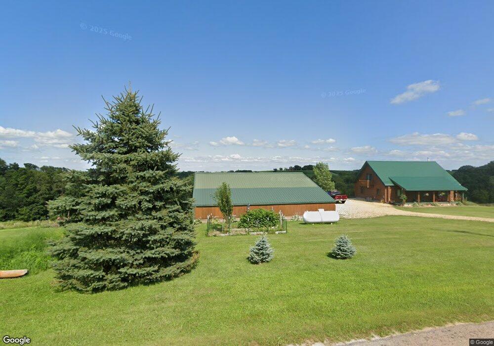
6736 Maple Ave Cashton, WI 54619
Estimated Value: $405,000 - $527,000
2
Beds
3
Baths
1,650
Sq Ft
$282/Sq Ft
Est. Value
About This Home
This home is located at 6736 Maple Ave, Cashton, WI 54619 and is currently estimated at $465,248, approximately $281 per square foot. 6736 Maple Ave is a home located in Monroe County with nearby schools including Cashton Elementary School and Cashton Middle/High School.
Ownership History
Date
Name
Owned For
Owner Type
Purchase Details
Closed on
Nov 5, 2020
Sold by
Mcnulty Diane M
Bought by
Decker Jay and Decker Jill C
Current Estimated Value
Home Financials for this Owner
Home Financials are based on the most recent Mortgage that was taken out on this home.
Original Mortgage
$264,000
Outstanding Balance
$235,344
Interest Rate
2.9%
Mortgage Type
New Conventional
Estimated Equity
$229,904
Purchase Details
Closed on
Jun 21, 2017
Sold by
Gaethke Scott W
Bought by
Mcnulty Diane M
Home Financials for this Owner
Home Financials are based on the most recent Mortgage that was taken out on this home.
Original Mortgage
$190,400
Interest Rate
3.95%
Mortgage Type
New Conventional
Purchase Details
Closed on
Feb 12, 2010
Sold by
Delong Linda K and De Long Paul W
Bought by
Gaethke Scott W
Create a Home Valuation Report for This Property
The Home Valuation Report is an in-depth analysis detailing your home's value as well as a comparison with similar homes in the area
Home Values in the Area
Average Home Value in this Area
Purchase History
| Date | Buyer | Sale Price | Title Company |
|---|---|---|---|
| Decker Jay | $330,000 | Monroe County Title | |
| Mcnulty Diane M | $238,000 | -- | |
| Gaethke Scott W | -- | Altra Federal Credit Union |
Source: Public Records
Mortgage History
| Date | Status | Borrower | Loan Amount |
|---|---|---|---|
| Open | Decker Jay | $264,000 | |
| Previous Owner | Mcnulty Diane M | $190,400 |
Source: Public Records
Tax History Compared to Growth
Tax History
| Year | Tax Paid | Tax Assessment Tax Assessment Total Assessment is a certain percentage of the fair market value that is determined by local assessors to be the total taxable value of land and additions on the property. | Land | Improvement |
|---|---|---|---|---|
| 2024 | $4,297 | $253,400 | $14,200 | $239,200 |
| 2023 | $4,344 | $253,400 | $14,200 | $239,200 |
| 2022 | $4,321 | $253,400 | $14,200 | $239,200 |
| 2021 | $3,906 | $253,400 | $14,200 | $239,200 |
| 2020 | $3,894 | $188,700 | $15,700 | $173,000 |
| 2019 | $3,973 | $185,200 | $15,700 | $169,500 |
| 2018 | $4,165 | $185,200 | $15,700 | $169,500 |
| 2017 | $4,083 | $185,200 | $15,700 | $169,500 |
| 2016 | $4,100 | $185,200 | $15,700 | $169,500 |
| 2015 | $4,665 | $185,300 | $15,800 | $169,500 |
| 2014 | $4,246 | $185,300 | $15,800 | $169,500 |
| 2011 | $4,119 | $185,500 | $16,000 | $169,500 |
Source: Public Records
Map
Nearby Homes
- W808 Wisconsin 33
- 630 Albion St
- 920 Wisconsin St
- 20671 Wisconsin 27
- 332 Coe St
- 10255 Jason Ave
- 19807 Jamboree Rd
- 19316 Wisconsin 27
- 18135 Ibeam Rd
- 215 Sarah Cir
- 8225 Ida Ave
- 206 N Oak St N
- 503 Eagle Ave
- N5151 County Road J
- Lot 53 Stenslien Hills
- Lot 17 Stenslien Hills
- Lot 57 Stenslien Hills
- Lot 62 Stenslien Hills
- Lot 52 Stenslien Hills
- Lot 16 Stenslien Hills