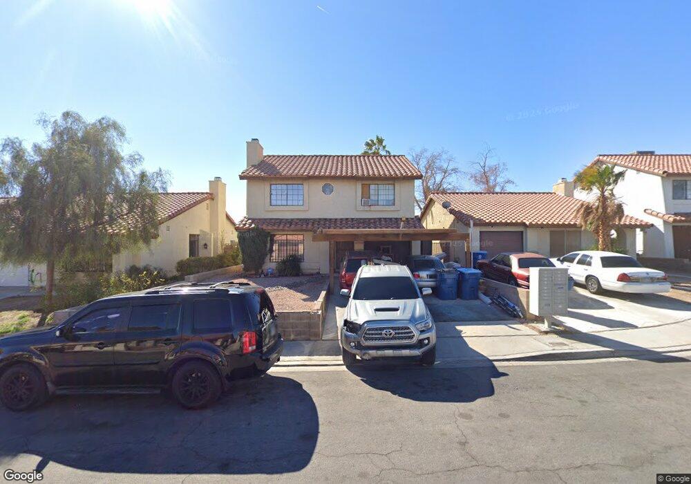
6737 Bremerton Cir Las Vegas, NV 89107
Charleston Preservation NeighborhoodEstimated Value: $352,000 - $457,000
3
Beds
2
Baths
1,774
Sq Ft
$228/Sq Ft
Est. Value
About This Home
This home is located at 6737 Bremerton Cir, Las Vegas, NV 89107 and is currently estimated at $403,994, approximately $227 per square foot. 6737 Bremerton Cir is a home located in Clark County with nearby schools including Rose Warren Elementary School, Frank F Garside Junior High School, and Bonanza High School.
Ownership History
Date
Name
Owned For
Owner Type
Purchase Details
Closed on
Apr 23, 2024
Sold by
County Treasurer
Bought by
Winkler Warren
Current Estimated Value
Purchase Details
Closed on
Jun 12, 2023
Sold by
County Of Clark
Bought by
Treasurer Of Clark County
Purchase Details
Closed on
Oct 2, 1998
Sold by
Urban Frank and Urban Betty
Bought by
Winkler Warren and Yeckes Shula
Purchase Details
Closed on
Sep 25, 1998
Sold by
Klem Marjorie Jean and Uehling Edmund Victor
Bought by
Klem Marjorie Jean and Lyon Jane Gretel
Create a Home Valuation Report for This Property
The Home Valuation Report is an in-depth analysis detailing your home's value as well as a comparison with similar homes in the area
Home Values in the Area
Average Home Value in this Area
Purchase History
| Date | Buyer | Sale Price | Title Company |
|---|---|---|---|
| Winkler Warren | $7,923 | None Listed On Document | |
| Treasurer Of Clark County | $236,625 | None Listed On Document | |
| Winkler Warren | $99,000 | -- | |
| Klem Marjorie Jean | -- | -- |
Source: Public Records
Tax History Compared to Growth
Tax History
| Year | Tax Paid | Tax Assessment Tax Assessment Total Assessment is a certain percentage of the fair market value that is determined by local assessors to be the total taxable value of land and additions on the property. | Land | Improvement |
|---|---|---|---|---|
| 2025 | $2,904 | $68,326 | $28,700 | $39,626 |
| 2024 | $1,785 | $68,326 | $28,700 | $39,626 |
| 2023 | $1,846 | $66,198 | $27,650 | $38,548 |
| 2022 | $2,135 | $58,485 | $22,750 | $35,735 |
| 2021 | $1,933 | $54,331 | $19,950 | $34,381 |
| 2020 | $1,056 | $53,376 | $18,900 | $34,476 |
| 2019 | $989 | $51,146 | $16,800 | $34,346 |
| 2018 | $944 | $46,188 | $12,950 | $33,238 |
| 2017 | $1,516 | $46,258 | $12,250 | $34,008 |
| 2016 | $1,388 | $44,107 | $9,450 | $34,657 |
| 2015 | $1,130 | $41,474 | $7,000 | $34,474 |
| 2014 | $855 | $25,292 | $5,600 | $19,692 |
Source: Public Records
Map
Nearby Homes
- 6612 Burgundy Way
- 408 Greenfield Ln
- 404 Vassar Ln
- 321 Bent Creek Dr
- 6709 Theus Cir
- 6701 Theus Cir
- 325 Greenfield Ln
- 613 Biljac St
- 6913 Camp Fire Rd
- 6741 Chehalis Cir
- 309 Warmside Dr
- 421 Courtney Ln
- 901 Rockaway St
- 6508 Bourbon Way
- 904 Rockaway St
- 416 Lindy Dr
- 6944 Alta Dr
- 405 Oil Lantern Ln
- 6812 White Sands Ave
- 6628 Celeste Ave
- 6733 Bremerton Cir
- 6741 Bremerton Cir
- 6729 Bremerton Cir
- 6745 Bremerton Cir
- 6736 Reggie Cir
- 6740 Reggie Cir
- 6732 Reggie Cir
- 6725 Bremerton Cir Unit 1
- 6744 Reggie Cir
- 6749 Bremerton Cir
- 6728 Reggie Cir
- 6736 Bremerton Cir
- 6732 Bremerton Cir
- 6721 Bremerton Cir
- 6748 Reggie Cir
- 6740 Bremerton Cir
- 6728 Bremerton Cir
- 6744 Bremerton Cir
- 6724 Bremerton Cir
- 6720 Reggie Cir