6737 Thomas Rd Radnor, OH 43066
Estimated Value: $543,000 - $793,107
5
Beds
3
Baths
3,484
Sq Ft
$188/Sq Ft
Est. Value
About This Home
This home is located at 6737 Thomas Rd, Radnor, OH 43066 and is currently estimated at $654,527, approximately $187 per square foot. 6737 Thomas Rd is a home located in Delaware County with nearby schools including Buckeye Valley High School.
Ownership History
Date
Name
Owned For
Owner Type
Purchase Details
Closed on
Jul 18, 2007
Sold by
Hsbc Mortgage Services Inc
Bought by
Kulp James P and Kulp Marilyn G
Current Estimated Value
Home Financials for this Owner
Home Financials are based on the most recent Mortgage that was taken out on this home.
Original Mortgage
$294,000
Outstanding Balance
$185,576
Interest Rate
6.69%
Mortgage Type
Purchase Money Mortgage
Estimated Equity
$468,951
Purchase Details
Closed on
Dec 6, 2006
Sold by
Rutledge Danielle
Bought by
Hsbc Mortgage Services Inc
Create a Home Valuation Report for This Property
The Home Valuation Report is an in-depth analysis detailing your home's value as well as a comparison with similar homes in the area
Home Values in the Area
Average Home Value in this Area
Purchase History
| Date | Buyer | Sale Price | Title Company |
|---|---|---|---|
| Kulp James P | $294,000 | Foundation Title Agency | |
| Hsbc Mortgage Services Inc | $385,771 | None Available |
Source: Public Records
Mortgage History
| Date | Status | Borrower | Loan Amount |
|---|---|---|---|
| Open | Kulp James P | $294,000 |
Source: Public Records
Tax History
| Year | Tax Paid | Tax Assessment Tax Assessment Total Assessment is a certain percentage of the fair market value that is determined by local assessors to be the total taxable value of land and additions on the property. | Land | Improvement |
|---|---|---|---|---|
| 2024 | $8,236 | $217,670 | $37,170 | $180,500 |
| 2023 | $8,119 | $214,620 | $37,170 | $177,450 |
| 2022 | $6,612 | $154,910 | $37,030 | $117,880 |
| 2021 | $6,620 | $154,910 | $37,030 | $117,880 |
| 2020 | $6,636 | $154,910 | $37,030 | $117,880 |
| 2019 | $5,681 | $130,450 | $32,200 | $98,250 |
| 2018 | $5,751 | $130,450 | $32,200 | $98,250 |
| 2017 | $5,098 | $120,690 | $25,800 | $94,890 |
| 2016 | $4,767 | $120,690 | $25,800 | $94,890 |
| 2015 | $5,018 | $120,690 | $25,800 | $94,890 |
| 2014 | $4,711 | $120,690 | $25,800 | $94,890 |
| 2013 | $4,737 | $115,330 | $25,800 | $89,530 |
Source: Public Records
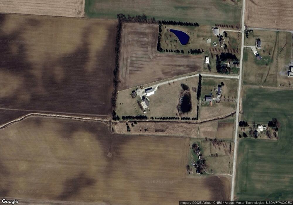
Map
Nearby Homes
- 0 Norton Rd
- 4389 State Route 203
- 6412 Troy Rd
- 501 Park Ave
- 206 S East St
- 4093 State Route 257
- 3414 State Route 203
- 103 Opal Ln
- 205 N Main St
- 6323 Hughes Rd
- 289 S Marion St
- 8620 Weiser Rd
- 0 Casey St
- 1818 Bethlehem Rd W
- 5734 U S Highway 23 N
- 5718 U S Highway 23 N
- 8881 Donovan Rd
- 1817 Lawrence Rd
- 715 Tyler Rd
- 0 Marsh Rd Unit 225031436
- 6685 Thomas Rd
- 6537 Thomas Rd
- 6757 Thomas Rd
- 6827 Thomas Rd
- 6626 Thomas Rd
- 6457 Thomas Rd
- 6800 Thomas Rd
- 0 Thomas Rd Unit 9807260
- 0 Thomas Rd Unit 2434635
- 0 Thomas Rd Unit 2324748
- 0 Thomas Rd Unit 2100839
- 0 Thomas Rd Unit 38538
- 0 Thomas Rd Unit 9922946
- 0 Thomas Rd Unit 213009309
- 0 Thomas Rd
- 6895 Thomas Rd
- 6419 Thomas Rd
- 3765 Peel Rd
- 6391 Thomas Rd
- 6359 Thomas Rd
Your Personal Tour Guide
Ask me questions while you tour the home.