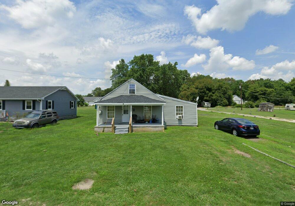
6738 Bobtown Rd Hurlock, MD 21643
Estimated Value: $109,000 - $193,000
3
Beds
1
Bath
1,276
Sq Ft
$122/Sq Ft
Est. Value
About This Home
This home is located at 6738 Bobtown Rd, Hurlock, MD 21643 and is currently estimated at $155,890, approximately $122 per square foot. 6738 Bobtown Rd is a home located in Dorchester County with nearby schools including Hurlock Elementary School, North Dorchester Middle School, and North Dorchester High School.
Ownership History
Date
Name
Owned For
Owner Type
Purchase Details
Closed on
Feb 24, 2011
Sold by
Deutsche Bank National Trust
Bought by
Peterson Flloyd and Peterson Yvette
Current Estimated Value
Purchase Details
Closed on
Jun 29, 2010
Sold by
Butler Jermaine D and Butler Lakisha L
Bought by
Deutsche Bank National Trust Company
Purchase Details
Closed on
Jun 29, 2004
Sold by
Driggins Dennis
Bought by
Us Bank National Association As and Trustee Of Csfb Abs Trust Series
Purchase Details
Closed on
Jan 28, 2000
Sold by
Hanson William S
Bought by
Driggins Dennis
Create a Home Valuation Report for This Property
The Home Valuation Report is an in-depth analysis detailing your home's value as well as a comparison with similar homes in the area
Home Values in the Area
Average Home Value in this Area
Purchase History
| Date | Buyer | Sale Price | Title Company |
|---|---|---|---|
| Peterson Flloyd | $20,000 | -- | |
| Deutsche Bank National Trust Company | $65,000 | -- | |
| Us Bank National Association As | $41,953 | -- | |
| Butler Jermaine D | $31,900 | -- | |
| Driggins Dennis | $45,000 | -- |
Source: Public Records
Mortgage History
| Date | Status | Borrower | Loan Amount |
|---|---|---|---|
| Closed | Driggins Dennis | -- |
Source: Public Records
Tax History
| Year | Tax Paid | Tax Assessment Tax Assessment Total Assessment is a certain percentage of the fair market value that is determined by local assessors to be the total taxable value of land and additions on the property. | Land | Improvement |
|---|---|---|---|---|
| 2025 | $653 | $51,967 | $0 | $0 |
| 2024 | $587 | $49,600 | $21,700 | $27,900 |
| 2023 | $587 | $47,433 | $0 | $0 |
| 2022 | $563 | $45,267 | $0 | $0 |
| 2021 | $539 | $43,100 | $16,700 | $26,400 |
| 2020 | $539 | $43,100 | $16,700 | $26,400 |
| 2019 | $539 | $43,100 | $16,700 | $26,400 |
| 2018 | $657 | $53,700 | $16,700 | $37,000 |
| 2017 | $643 | $53,700 | $0 | $0 |
| 2016 | -- | $53,700 | $0 | $0 |
| 2015 | $682 | $54,200 | $0 | $0 |
| 2014 | $682 | $54,200 | $0 | $0 |
Source: Public Records
Map
Nearby Homes
- 6720 Bobtown Rd
- 0 Gravel Branch Rd Unit MDDO2001942
- 4445 Rolling Acres Dr
- 4604 Payne Rd
- 4714 Payne Rd
- 6819 Bobtown Rd
- 521 Academy St
- 6924 1 Williamsburg Church Rd
- 4907 Payne Rd
- 4308 Blink Horn Rd
- 6941 Hubbard Rd
- 101 Commerce St
- 7025 Gravel Branch Rd
- 207 S Main St
- 212 S Main St
- 219 S Main St
- 309 S Main St
- 105 Center St
- 406 Charles St
- 6539 Cabin Ridge Rd
- 6734 Bobtown Rd
- 6732 Bobtown Rd
- 6740 Bobtown Rd
- 6729 Bobtown Rd
- 6716 Bobtown Rd
- 6725 Bobtown Rd
- 6714 Bobtown Rd
- 6712 Bobtown Rd
- 6724 Bobtown Rd
- 6706 Bobtown Rd
- 6702 Bobtown Rd
- 000 Bobtown Rd
- 0 Bobtown Rd Unit 1002079006
- 0 Bobtown Rd Unit DO9894692
- 0 Bobtown Rd Unit MDDO2011426
- 0 Bobtown Rd Unit 1000100419
- 6750 Bobtown Rd
- 6754 Bobtown Rd
- 4432 Rolling Acres Dr
- 4434 Rolling Acres Dr
Your Personal Tour Guide
Ask me questions while you tour the home.