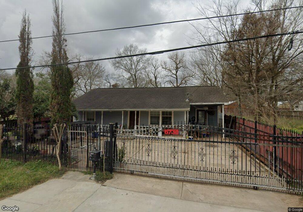
6738 Calhoun Rd Houston, TX 77021
OST-South Union NeighborhoodEstimated Value: $155,568 - $213,000
3
Beds
2
Baths
1,296
Sq Ft
$145/Sq Ft
Est. Value
About This Home
This home is located at 6738 Calhoun Rd, Houston, TX 77021 and is currently estimated at $188,142, approximately $145 per square foot. 6738 Calhoun Rd is a home located in Harris County with nearby schools including Marcellus Elliot Foster Elementary, Cullen Middle School, and Yates High School.
Ownership History
Date
Name
Owned For
Owner Type
Purchase Details
Closed on
May 25, 1999
Sold by
Spearman M J
Bought by
Melendez Miguel A and Melendez Rosa
Current Estimated Value
Home Financials for this Owner
Home Financials are based on the most recent Mortgage that was taken out on this home.
Original Mortgage
$23,075
Outstanding Balance
$8,318
Interest Rate
11.8%
Mortgage Type
Credit Line Revolving
Estimated Equity
$179,824
Create a Home Valuation Report for This Property
The Home Valuation Report is an in-depth analysis detailing your home's value as well as a comparison with similar homes in the area
Home Values in the Area
Average Home Value in this Area
Purchase History
| Date | Buyer | Sale Price | Title Company |
|---|---|---|---|
| Melendez Miguel A | -- | -- |
Source: Public Records
Mortgage History
| Date | Status | Borrower | Loan Amount |
|---|---|---|---|
| Open | Melendez Miguel A | $23,075 | |
| Closed | Melendez Miguel A | $13,300 |
Source: Public Records
Tax History Compared to Growth
Tax History
| Year | Tax Paid | Tax Assessment Tax Assessment Total Assessment is a certain percentage of the fair market value that is determined by local assessors to be the total taxable value of land and additions on the property. | Land | Improvement |
|---|---|---|---|---|
| 2025 | $812 | $128,301 | $85,000 | $43,301 |
| 2024 | $812 | $128,301 | $85,000 | $43,301 |
| 2023 | $812 | $124,968 | $77,500 | $47,468 |
| 2022 | $1,504 | $118,039 | $70,000 | $48,039 |
| 2021 | $1,447 | $73,225 | $42,500 | $30,725 |
| 2020 | $1,367 | $56,455 | $27,500 | $28,955 |
| 2019 | $1,316 | $54,899 | $27,500 | $27,399 |
| 2018 | $660 | $47,791 | $22,500 | $25,291 |
| 2017 | $1,087 | $47,791 | $22,500 | $25,291 |
| 2016 | $988 | $47,791 | $22,500 | $25,291 |
| 2015 | $486 | $47,791 | $22,500 | $25,291 |
| 2014 | $486 | $42,445 | $12,500 | $29,945 |
Source: Public Records
Map
Nearby Homes
- 6734 Paris St Unit A-B
- 6730 Paris St Unit A/B
- 6726 Paris St Unit A-B
- 0 Ward St Unit 79606542
- 6807 Paris St
- 6815 Paris St
- 6817 Paris St
- 4715 Ward St
- 6747 Liverpool St
- 6710 New York St
- 6824 Calhoun Rd
- 4512 Ward St
- 6637 New York St
- 6835 New York St
- 6814 Dumble St
- 6818 Dumble St
- 6636 New York St
- 6830 New York St
- 4727 Idaho St
- 6714 Dumble St
- 6734 Calhoun Rd
- 6730 Calhoun Rd
- 6727 Paris St
- 6739 Calhoun Rd
- 6741 Calhoun Rd
- 6743 Calhoun Rd
- 4703 Ward St
- 6726 Calhoun Rd
- 6745 Calhoun Rd
- 6731 Calhoun Rd
- 6803 Calhoun Rd
- 6722 Calhoun Rd
- 4630 Ward St
- 6727 Calhoun Rd
- 6740 Liverpool St
- 6738 Paris St
- 6738 Liverpool St
- 6750 Liverpool St
- 6736 Liverpool St
- 6717 Paris St