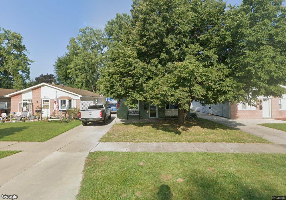
6738 Marvin St Unit Bldg-Unit Taylor, MI 48180
Estimated Value: $145,000 - $164,000
--
Bed
1
Bath
1,001
Sq Ft
$153/Sq Ft
Est. Value
About This Home
This home is located at 6738 Marvin St Unit Bldg-Unit, Taylor, MI 48180 and is currently estimated at $153,434, approximately $153 per square foot. 6738 Marvin St Unit Bldg-Unit is a home located in Wayne County with nearby schools including Clarence Randall Elementary School, Hoover Middle School, and Taylor High School.
Ownership History
Date
Name
Owned For
Owner Type
Purchase Details
Closed on
Jul 27, 2018
Sold by
Wierzbicki Alfonse B
Bought by
Wierzbicki Alfonse B and Wierzbicki Alphonse B
Current Estimated Value
Purchase Details
Closed on
Jan 30, 2014
Sold by
Wierzbicki Alfonse and Wierzbicki Connie M
Bought by
Wierzbicki Alfonse B and Connie M Wierzbicki Living Tru
Purchase Details
Closed on
Aug 15, 2012
Sold by
Long John
Bought by
Wierzbicki Alfonse and Wierzbicki Connie Mae
Purchase Details
Closed on
Nov 1, 2005
Sold by
Raj Cathy S
Bought by
Long John
Create a Home Valuation Report for This Property
The Home Valuation Report is an in-depth analysis detailing your home's value as well as a comparison with similar homes in the area
Home Values in the Area
Average Home Value in this Area
Purchase History
| Date | Buyer | Sale Price | Title Company |
|---|---|---|---|
| Wierzbicki Alfonse B | $89,900 | Fidelity National Title | |
| Wierzbicki Alfonse B | -- | None Available | |
| Wierzbicki Alfonse | $27,500 | Michigan Title Insurance Age | |
| Long John | $59,000 | None Available |
Source: Public Records
Tax History Compared to Growth
Tax History
| Year | Tax Paid | Tax Assessment Tax Assessment Total Assessment is a certain percentage of the fair market value that is determined by local assessors to be the total taxable value of land and additions on the property. | Land | Improvement |
|---|---|---|---|---|
| 2025 | $1,695 | $65,800 | $0 | $0 |
| 2024 | $1,695 | $61,100 | $0 | $0 |
| 2023 | $2,021 | $52,900 | $0 | $0 |
| 2022 | $1,617 | $50,200 | $0 | $0 |
| 2021 | $1,778 | $43,100 | $0 | $0 |
| 2020 | $1,760 | $37,400 | $0 | $0 |
| 2019 | $175,964 | $33,200 | $0 | $0 |
| 2018 | $1,481 | $25,600 | $0 | $0 |
| 2017 | $1,965 | $25,500 | $0 | $0 |
| 2016 | $2,167 | $24,700 | $0 | $0 |
| 2015 | $2,350 | $23,500 | $0 | $0 |
| 2013 | $2,530 | $26,300 | $0 | $0 |
| 2012 | $1,679 | $25,700 | $7,800 | $17,900 |
Source: Public Records
Map
Nearby Homes
- 6962 Beech Daly Rd
- 6810 Oldham St
- 0000 Ecorse Rd
- 26215 Beverly Rd
- 26111 1st St Unit RA020
- 7306 Chesterfield St Unit RA254
- 26009 1st St Unit RA005
- 7312 Chesterfield St Unit 257
- 7316 Chesterfield St Unit RA259
- 26112 3rd St Unit 102
- 26116 3rd St Unit RA104
- 26023 3rd St Unit RA120
- 26118 4th St Unit RA159
- 26127 3rd St Unit RA134
- 7330 Chesterfield St Unit RA266
- 26118 5th St Unit RA211
- 7328 Chesterfield St Unit RA265
- 6363 Mcguire St
- 26020 5th St Unit RA198
- 26107 5th St Unit RA237
- 6738 Marvin St
- 6746 Marvin St
- 6730 Marvin St
- 6754 Marvin St Unit Bldg-Unit
- 6754 Marvin St
- 6762 Marvin St
- 6714 Marvin St
- 6722 Marvin St
- 6770 Marvin St
- 6706 Marvin St
- 6747 Marvin St
- 6731 Marvin St Unit Bldg-Unit
- 6731 Marvin St
- 6763 Fellrath St
- 6778 Marvin St
- 6755 Marvin St
- 6771 Fellrath St
- 6723 Marvin St
- 6763 Marvin St
- 6715 Marvin St