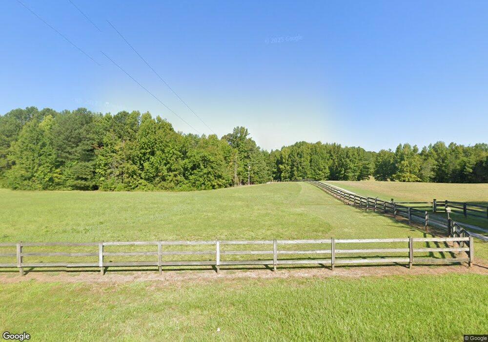
6739 Highway 49 Laurens, SC 29360
Estimated Value: $242,000 - $293,000
5
Beds
2
Baths
--
Sq Ft
8.9
Acres
About This Home
This home is located at 6739 Highway 49, Laurens, SC 29360 and is currently estimated at $268,838. 6739 Highway 49 is a home located in Laurens County with nearby schools including Ford Elementary School, Sanders Middle School, and Laurens District 55 High School.
Ownership History
Date
Name
Owned For
Owner Type
Purchase Details
Closed on
Jan 25, 2010
Sold by
Us Bank Na
Bought by
Jackson Carl M and Jackson Deborah J
Current Estimated Value
Home Financials for this Owner
Home Financials are based on the most recent Mortgage that was taken out on this home.
Original Mortgage
$94,000
Interest Rate
4.97%
Mortgage Type
New Conventional
Purchase Details
Closed on
Dec 21, 2009
Sold by
Boozer Judy K
Bought by
Boozer Judy K and Tolley Pierce Andrew
Home Financials for this Owner
Home Financials are based on the most recent Mortgage that was taken out on this home.
Original Mortgage
$94,000
Interest Rate
4.97%
Mortgage Type
New Conventional
Create a Home Valuation Report for This Property
The Home Valuation Report is an in-depth analysis detailing your home's value as well as a comparison with similar homes in the area
Home Values in the Area
Average Home Value in this Area
Purchase History
| Date | Buyer | Sale Price | Title Company |
|---|---|---|---|
| Jackson Carl M | $101,101 | None Available | |
| Boozer Judy K | -- | None Available |
Source: Public Records
Mortgage History
| Date | Status | Borrower | Loan Amount |
|---|---|---|---|
| Previous Owner | Jackson Carl M | $94,000 |
Source: Public Records
Tax History Compared to Growth
Tax History
| Year | Tax Paid | Tax Assessment Tax Assessment Total Assessment is a certain percentage of the fair market value that is determined by local assessors to be the total taxable value of land and additions on the property. | Land | Improvement |
|---|---|---|---|---|
| 2024 | $602 | $2,950 | $370 | $2,580 |
| 2023 | $602 | $3,500 | $0 | $0 |
| 2022 | $584 | $3,190 | $370 | $2,820 |
| 2021 | $620 | $3,000 | $340 | $2,660 |
| 2020 | $597 | $3,000 | $340 | $2,660 |
| 2019 | $641 | $3,000 | $340 | $2,660 |
| 2018 | $625 | $3,000 | $340 | $2,660 |
| 2017 | $599 | $3,000 | $340 | $2,660 |
| 2015 | $564 | $3,060 | $400 | $2,660 |
| 2014 | $564 | $3,060 | $400 | $2,660 |
| 2013 | $564 | $3,060 | $400 | $2,660 |
Source: Public Records
Map
Nearby Homes
- 320 Richwood Down Dr
- 833 Duncan Creek Church Rd
- 00 Poole Town Rd
- 2100 Horseshoe Falls Rd
- 00 Bethany Church Rd
- 940 Cattle Dr
- 748 Cattle Dr
- 00 Ridge Rd
- 3465 S Carolina 92
- 91 Halloween Dr
- 3465 Highway 92
- 26610 Highway 221 N
- 0000 Penland Rd Unit CATTLE DRIVE TRACK B
- 775 Browning Rd
- 2080 Browning Rd
- 97 Poole Rd
- 95 Clippard St
- 211 Stone Creek Rd
- 212 Stone Creek Rd
- 214 Stone Creek Rd
- 6815 Highway 49
- 6815 Highway 49
- 6800 Highway 49
- 6630 Highway 49
- 117 Little Texas Dr
- 117 Little Texas Rd
- 6848 Highway 49
- 6449 Highway 49
- 30 Deerwood Cir
- 6768 Highway 49
- 428 Deerwood Cir
- 1101 Highway 49
- 1101 Yarborough Mill Rd
- 1108 Highway 49
- 0 Langston Rd Unit 244645
- 0 Langston Rd Unit 248985
- 0 Langston Rd Unit 1347565
- 0 Langston Rd Unit 1491544
- 0 Langston Rd Unit 1372336
- 4942 Granny Apple Rd