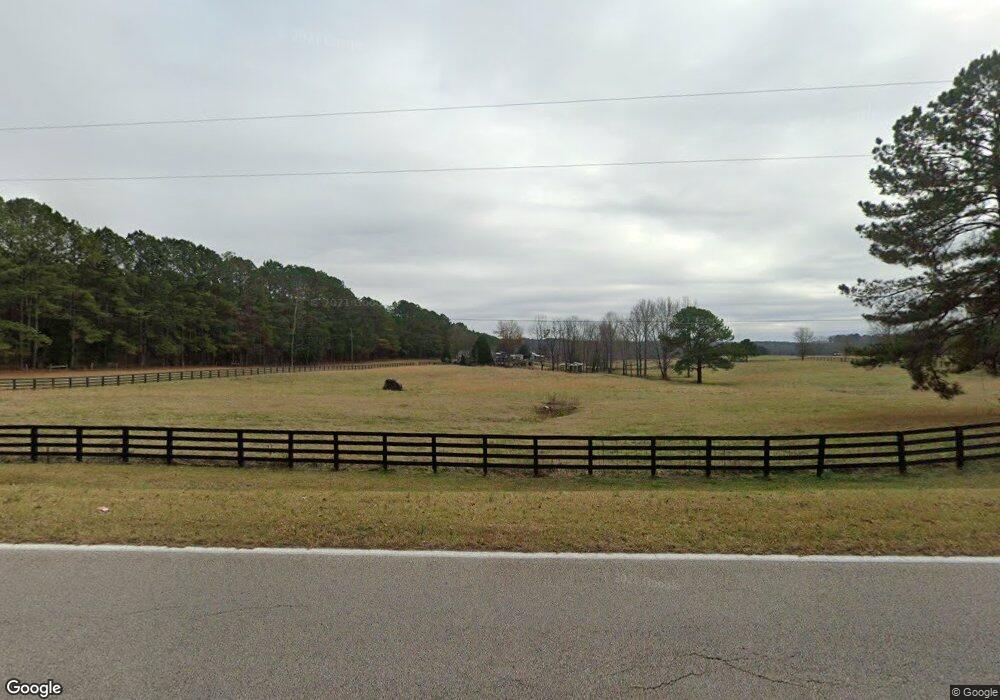
6739 Old West Point Rd Lagrange, GA 30240
Estimated Value: $354,000 - $615,260
4
Beds
2
Baths
2,524
Sq Ft
$178/Sq Ft
Est. Value
About This Home
This home is located at 6739 Old West Point Rd, Lagrange, GA 30240 and is currently estimated at $449,087, approximately $177 per square foot. 6739 Old West Point Rd is a home located in Troup County with nearby schools including Long Cane Elementary School, Berta Weathersbee Elementary School, and Whitesville Road Elementary School.
Ownership History
Date
Name
Owned For
Owner Type
Purchase Details
Closed on
May 8, 1987
Bought by
Vaughan Jerrell D
Current Estimated Value
Purchase Details
Closed on
May 21, 1982
Create a Home Valuation Report for This Property
The Home Valuation Report is an in-depth analysis detailing your home's value as well as a comparison with similar homes in the area
Home Values in the Area
Average Home Value in this Area
Purchase History
| Date | Buyer | Sale Price | Title Company |
|---|---|---|---|
| Vaughan Jerrell D | $44,000 | -- | |
| -- | -- | -- |
Source: Public Records
Tax History Compared to Growth
Tax History
| Year | Tax Paid | Tax Assessment Tax Assessment Total Assessment is a certain percentage of the fair market value that is determined by local assessors to be the total taxable value of land and additions on the property. | Land | Improvement |
|---|---|---|---|---|
| 2024 | $3,656 | $191,792 | $74,960 | $116,832 |
| 2023 | $3,648 | $191,960 | $74,960 | $117,000 |
| 2022 | $3,284 | $143,800 | $34,600 | $109,200 |
| 2021 | $3,230 | $130,160 | $31,240 | $98,920 |
| 2020 | $3,221 | $130,160 | $31,240 | $98,920 |
| 2019 | $3,213 | $130,160 | $31,240 | $98,920 |
| 2018 | $2,933 | $121,160 | $31,240 | $89,920 |
| 2017 | $2,925 | $121,160 | $31,240 | $89,920 |
| 2016 | $2,951 | $122,303 | $31,260 | $91,043 |
| 2015 | $2,949 | $122,303 | $31,260 | $91,043 |
| 2014 | $1,984 | $85,976 | $22,000 | $63,976 |
| 2013 | -- | $85,186 | $22,000 | $63,186 |
Source: Public Records
Map
Nearby Homes
- 1248 Cannonville Rd
- 0 Robert Hayes Rd Unit 10611067
- 345 Robert Taylor Rd
- 118 Woodstream Trail
- 0 Hanson Dr Unit 10641272
- 5714 W Point Rd
- 266 Glass Bridge Rd
- 275 Hanson Dr
- 0 Cannonville Rd
- 103 Hawthorne Cir
- 102 Franklin Place
- 22 Freeman Rd
- 110 Hawthorne Cir
- 119 Plymouth Dr
- 797 Gabbettville Rd
- 101 Ivy Springs Dr
- 288 Bradfield Dr
- Sandtown Road Unit: 1 2+ - Acre
- 0 Sandtown Rd Unit 10255987
- 114 Westgate Dr
- 6789 Old West Point Rd
- 6796 Old West Point Rd
- 4779 W Point Rd
- 4793 West Point Rd
- 6658 Old West Point Rd
- 4782 West Point Rd
- 4734 West Point Rd
- 4625 West Point Rd
- 4700 West Point Rd
- 6616 Old West Point Rd
- 6545 Old West Point Rd
- 6576 Old West Point Rd
- 4835 West Point Rd
- 207 Pinebrook Ct
- 207 Pinebrook Ct Unit Lot 15
- 205 Pinebrook Ct
- 208 Pinebrook Ct
- 203 Pinebrook Ct
- 206 Pinebrook Ct
- 201 Pinebrook Ct