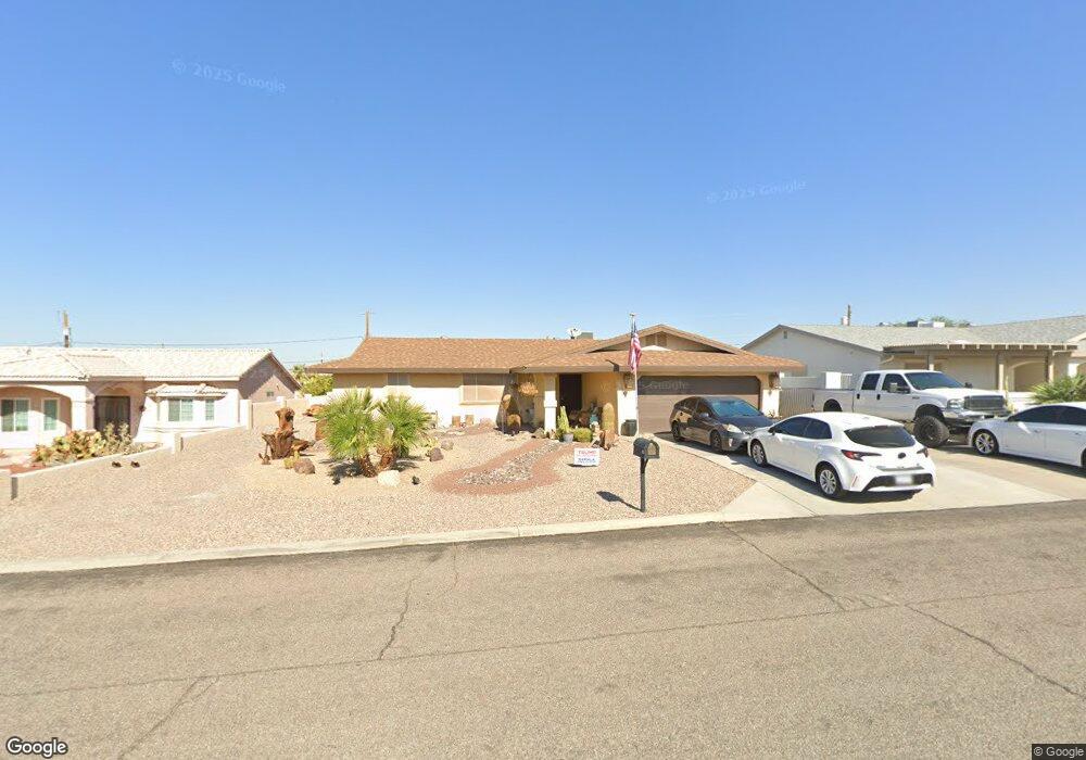
674 Apache Dr Lake Havasu City, AZ 86406
Estimated Value: $382,000 - $448,000
2
Beds
2
Baths
1,483
Sq Ft
$277/Sq Ft
Est. Value
About This Home
This home is located at 674 Apache Dr, Lake Havasu City, AZ 86406 and is currently estimated at $410,306, approximately $276 per square foot. 674 Apache Dr is a home located in Mohave County with nearby schools including Starline Elementary School, Thunderbolt Middle School, and Lake Havasu High School.
Ownership History
Date
Name
Owned For
Owner Type
Purchase Details
Closed on
May 6, 2009
Sold by
Ruiz Eddie Vincent and Ruiz Lisa Marie
Bought by
Siens Raymond T and Siens Ivana J
Current Estimated Value
Purchase Details
Closed on
Sep 15, 2006
Sold by
Siens Raymond T and Siens Ivana J
Bought by
Ruiz Eddie Vincent and Ruiz Lina Marie
Home Financials for this Owner
Home Financials are based on the most recent Mortgage that was taken out on this home.
Original Mortgage
$184,920
Interest Rate
6.51%
Mortgage Type
Seller Take Back
Purchase Details
Closed on
Mar 21, 2001
Sold by
Judd Karen K
Bought by
Siens Raymond T and Siens Ivana J
Create a Home Valuation Report for This Property
The Home Valuation Report is an in-depth analysis detailing your home's value as well as a comparison with similar homes in the area
Home Values in the Area
Average Home Value in this Area
Purchase History
| Date | Buyer | Sale Price | Title Company |
|---|---|---|---|
| Siens Raymond T | $195,391 | Lawyers Title Of Az | |
| Ruiz Eddie Vincent | $224,900 | Transnation Title | |
| Siens Raymond T | $85,000 | Capital Title Agency Inc |
Source: Public Records
Mortgage History
| Date | Status | Borrower | Loan Amount |
|---|---|---|---|
| Previous Owner | Ruiz Eddie Vincent | $184,920 |
Source: Public Records
Tax History Compared to Growth
Tax History
| Year | Tax Paid | Tax Assessment Tax Assessment Total Assessment is a certain percentage of the fair market value that is determined by local assessors to be the total taxable value of land and additions on the property. | Land | Improvement |
|---|---|---|---|---|
| 2026 | $537 | -- | -- | -- |
| 2025 | $1,087 | $31,548 | $0 | $0 |
| 2024 | $1,087 | $34,331 | $0 | $0 |
| 2023 | $1,087 | $28,596 | $0 | $0 |
| 2022 | $1,047 | $21,506 | $0 | $0 |
| 2021 | $1,227 | $19,730 | $0 | $0 |
| 2019 | $1,168 | $16,742 | $0 | $0 |
| 2018 | $1,131 | $15,536 | $0 | $0 |
| 2017 | $1,319 | $14,722 | $0 | $0 |
| 2016 | $1,197 | $13,401 | $0 | $0 |
| 2015 | $1,149 | $11,522 | $0 | $0 |
Source: Public Records
Map
Nearby Homes
- 2970 War Eagle Dr
- 532 Roanoke Dr
- 3135 Cotati Dr
- 2910 Coconino Dr
- 786 Powder Dr
- 700 Apache Dr
- 3040 Gypsy Dr
- 3150 Star Dr
- 3066 Star Dr
- 2951 Saddleback Dr
- 2997 Edgewood Dr
- 680 Yosemite Dr
- 815 Rolling Hills Plaza N
- 2876 Plaza Del Oro
- 2890 Yuma Dr
- 670 Avenida Laredo
- 691 Rolling Hills Dr
- 3651 Jamaica Blvd S
- 677 Avenida Laredo
- 3261 Thundercloud Dr
- 672 Apache Dr
- 676 Apache Dr
- 678 Apache Dr
- 670 Apache Dr
- 681 Apache Dr
- 683 Apache Dr
- 679 Apache Dr
- 685 Apache Dr
- 680 Apache Dr
- 668 Apache Dr
- 2980 War Eagle Dr
- 2960 War Eagle Dr
- 687 Apache Dr
- 2990 War Eagle Dr
- 2950 War Eagle Dr
- 682 Apache Dr
- 591 Roanoke Dr
- 581 Roanoke Dr
- 689 Apache Dr
- 2940 War Eagle Dr