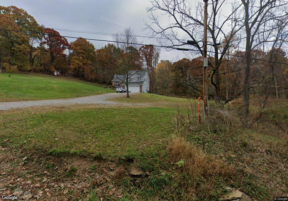
674 Browntown Rd New Stanton, PA 15672
Hempfield Township NeighborhoodEstimated Value: $198,492 - $334,000
--
Bed
--
Bath
1,914
Sq Ft
$149/Sq Ft
Est. Value
About This Home
This home is located at 674 Browntown Rd, New Stanton, PA 15672 and is currently estimated at $286,123, approximately $149 per square foot. 674 Browntown Rd is a home located in Westmoreland County with nearby schools including Stanwood Elementary School, West Hempfield Middle School, and Hempfield Area Senior High School.
Ownership History
Date
Name
Owned For
Owner Type
Purchase Details
Closed on
May 1, 2013
Sold by
Bortz James H and Bortz April R
Bought by
Bortz James H and Bortz April R
Current Estimated Value
Home Financials for this Owner
Home Financials are based on the most recent Mortgage that was taken out on this home.
Original Mortgage
$158,000
Outstanding Balance
$74,113
Interest Rate
3.57%
Mortgage Type
New Conventional
Estimated Equity
$212,010
Purchase Details
Closed on
Oct 21, 2009
Sold by
Yurchison April R
Bought by
Bortz James H
Home Financials for this Owner
Home Financials are based on the most recent Mortgage that was taken out on this home.
Original Mortgage
$160,047
Interest Rate
5.06%
Mortgage Type
FHA
Purchase Details
Closed on
Jun 30, 2006
Sold by
Yurchison Matthew J and Yurchison April R
Bought by
Yurchison April R
Create a Home Valuation Report for This Property
The Home Valuation Report is an in-depth analysis detailing your home's value as well as a comparison with similar homes in the area
Home Values in the Area
Average Home Value in this Area
Purchase History
| Date | Buyer | Sale Price | Title Company |
|---|---|---|---|
| Bortz James H | -- | None Available | |
| Bortz James H | $163,000 | None Available | |
| Yurchison April R | -- | None Available |
Source: Public Records
Mortgage History
| Date | Status | Borrower | Loan Amount |
|---|---|---|---|
| Open | Bortz James H | $158,000 | |
| Closed | Bortz James H | $160,047 |
Source: Public Records
Tax History Compared to Growth
Tax History
| Year | Tax Paid | Tax Assessment Tax Assessment Total Assessment is a certain percentage of the fair market value that is determined by local assessors to be the total taxable value of land and additions on the property. | Land | Improvement |
|---|---|---|---|---|
| 2025 | $3,705 | $30,310 | $1,420 | $28,890 |
| 2024 | $3,554 | $30,310 | $1,420 | $28,890 |
| 2023 | $3,272 | $30,310 | $1,420 | $28,890 |
| 2022 | $3,272 | $30,310 | $1,420 | $28,890 |
| 2021 | $3,272 | $30,310 | $1,420 | $28,890 |
| 2020 | $3,272 | $30,310 | $1,420 | $28,890 |
| 2019 | $3,257 | $30,310 | $1,420 | $28,890 |
| 2018 | $3,219 | $30,310 | $1,420 | $28,890 |
| 2017 | $3,144 | $30,310 | $1,420 | $28,890 |
| 2016 | $2,989 | $30,310 | $1,420 | $28,890 |
| 2015 | $2,989 | $30,310 | $1,420 | $28,890 |
| 2014 | $2,943 | $30,310 | $1,420 | $28,890 |
Source: Public Records
Map
Nearby Homes
- 000 Yukon Rd
- 404 Herminie Rd
- 148 Poverty Hollow Rd
- a Pennylvania Ave
- 515 Herminie Rd
- 1877 Main St
- 620 Timberline Ln
- 140 Highway St
- 182 Broadview Rd
- Penwell Plan at Broadview Estates
- Galen Plan at Broadview Estates
- Deerfield Plan at Broadview Estates
- 410 Curtis Ct
- 412 Curtis Ct
- 414 Curtis Ct
- 416 Curtis Ct
- 116 Karr Ln
- 0 Broadview Rd
- Lot #2 Joseph Vito Dr
- 44 Clopper St