674 Cutoff Ln Mifflinburg, PA 17844
Estimated Value: $358,000 - $661,000
5
Beds
2
Baths
2,080
Sq Ft
$251/Sq Ft
Est. Value
About This Home
This home is located at 674 Cutoff Ln, Mifflinburg, PA 17844 and is currently estimated at $521,356, approximately $250 per square foot. 674 Cutoff Ln is a home located in Union County with nearby schools including Mifflinburg Elementary School, Mifflinburg Area Intermediate School, and Mifflinburg Area Middle School.
Ownership History
Date
Name
Owned For
Owner Type
Purchase Details
Closed on
Apr 29, 2019
Sold by
Loud Shawn W and Loud Alyssa
Bought by
Hile Wayne V
Current Estimated Value
Purchase Details
Closed on
Dec 24, 2013
Sold by
Boop Roy C and Boop Lisa D
Bought by
Loud Shawn W
Home Financials for this Owner
Home Financials are based on the most recent Mortgage that was taken out on this home.
Original Mortgage
$253,600
Interest Rate
4.29%
Mortgage Type
New Conventional
Create a Home Valuation Report for This Property
The Home Valuation Report is an in-depth analysis detailing your home's value as well as a comparison with similar homes in the area
Home Values in the Area
Average Home Value in this Area
Purchase History
| Date | Buyer | Sale Price | Title Company |
|---|---|---|---|
| Hile Wayne V | $345,000 | Attorney Only | |
| Hile Wayne V | $345,000 | None Available | |
| Loud Shawn W | $317,000 | None Available |
Source: Public Records
Mortgage History
| Date | Status | Borrower | Loan Amount |
|---|---|---|---|
| Previous Owner | Loud Shawn W | $253,600 |
Source: Public Records
Tax History Compared to Growth
Tax History
| Year | Tax Paid | Tax Assessment Tax Assessment Total Assessment is a certain percentage of the fair market value that is determined by local assessors to be the total taxable value of land and additions on the property. | Land | Improvement |
|---|---|---|---|---|
| 2025 | $3,925 | $189,620 | $23,320 | $166,300 |
| 2024 | $3,925 | $189,620 | $23,320 | $166,300 |
| 2023 | $3,792 | $189,620 | $23,320 | $166,300 |
| 2022 | $3,775 | $189,620 | $23,320 | $166,300 |
| 2021 | $3,741 | $189,620 | $23,320 | $166,300 |
| 2020 | $3,523 | $182,620 | $23,320 | $159,300 |
| 2019 | $3,456 | $182,620 | $23,320 | $159,300 |
| 2018 | $3,387 | $182,620 | $23,320 | $159,300 |
| 2017 | $3,316 | $241,100 | $81,800 | $159,300 |
| 2016 | $3,804 | $241,100 | $81,800 | $159,300 |
| 2015 | -- | $241,100 | $81,800 | $159,300 |
| 2014 | -- | $241,100 | $81,800 | $159,300 |
Source: Public Records
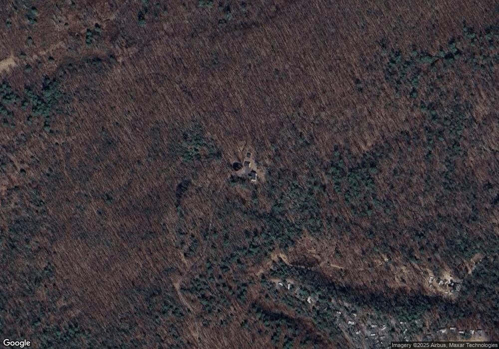
Map
Nearby Homes
- 325 Bollinger Dr
- 416 Pine Grove Ln
- 265 Bollinger Dr
- 230 Hawk Rd
- 172 Bollinger Dr
- 0 Pine Grove Ln
- 171 Hawk Rd
- 43 Pine Grove Ln
- 107 Pine Grove Ln
- 75 Pine Grove Ln
- 1490 Walbash Rd
- 59 Bollinger Dr
- 93 Punako Ln
- 1744 Walbash Rd
- 1440 Walbash Rd
- 1570 Walbash Rd
- 1590 Walbash Rd
- 1595 Walbash Rd
- 199 Possum Rd
- 1630 Walbash Rd