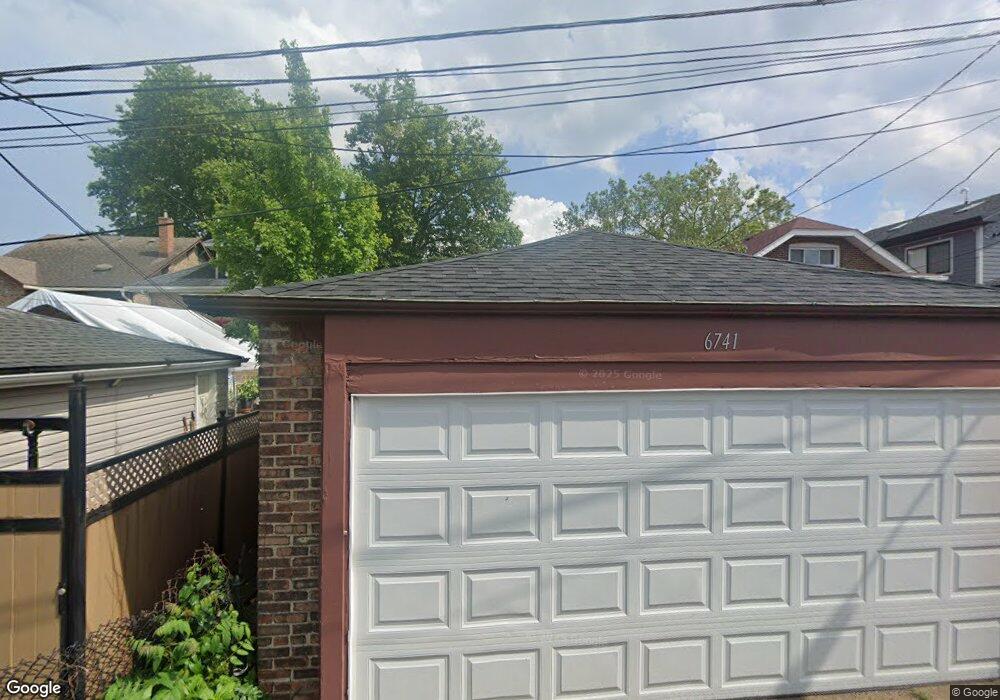
6741 Riverside Dr Berwyn, IL 60402
Estimated Value: $235,000 - $315,000
3
Beds
1
Bath
1,254
Sq Ft
$226/Sq Ft
Est. Value
About This Home
This home is located at 6741 Riverside Dr, Berwyn, IL 60402 and is currently estimated at $283,552, approximately $226 per square foot. 6741 Riverside Dr is a home located in Cook County with nearby schools including Charles E. Piper School, Freedom Middle School, and J. Sterling Morton High School West.
Ownership History
Date
Name
Owned For
Owner Type
Purchase Details
Closed on
Jan 14, 2021
Sold by
Kuprys Roma and Estate Of Elena Olsauskas
Bought by
Portillo Samantha and Marchan Raul
Current Estimated Value
Home Financials for this Owner
Home Financials are based on the most recent Mortgage that was taken out on this home.
Original Mortgage
$152,000
Interest Rate
2.75%
Mortgage Type
New Conventional
Create a Home Valuation Report for This Property
The Home Valuation Report is an in-depth analysis detailing your home's value as well as a comparison with similar homes in the area
Home Values in the Area
Average Home Value in this Area
Purchase History
| Date | Buyer | Sale Price | Title Company |
|---|---|---|---|
| Portillo Samantha | $160,000 | Burnet Title |
Source: Public Records
Mortgage History
| Date | Status | Borrower | Loan Amount |
|---|---|---|---|
| Previous Owner | Portillo Samantha | $152,000 |
Source: Public Records
Tax History
| Year | Tax Paid | Tax Assessment Tax Assessment Total Assessment is a certain percentage of the fair market value that is determined by local assessors to be the total taxable value of land and additions on the property. | Land | Improvement |
|---|---|---|---|---|
| 2025 | $7,394 | $24,000 | $5,053 | $18,947 |
| 2024 | $7,394 | $24,000 | $5,053 | $18,947 |
| 2023 | $6,392 | $24,000 | $5,053 | $18,947 |
| 2022 | $6,392 | $17,488 | $4,434 | $13,054 |
| 2021 | $8,457 | $19,185 | $4,434 | $14,751 |
| 2020 | $7,993 | $19,185 | $4,434 | $14,751 |
| 2019 | $1,590 | $16,924 | $4,021 | $12,903 |
| 2018 | $1,499 | $16,924 | $4,021 | $12,903 |
| 2017 | $1,508 | $16,924 | $4,021 | $12,903 |
| 2016 | $5,899 | $13,603 | $3,300 | $10,303 |
| 2015 | $5,783 | $13,603 | $3,300 | $10,303 |
| 2014 | $2,450 | $13,603 | $3,300 | $10,303 |
| 2013 | $2,231 | $14,009 | $3,300 | $10,709 |
Source: Public Records
Map
Nearby Homes
- 2125 Euclid Ave
- 6850 Cermak Rd Unit 1B
- 2336 Oak Park Ave
- 2115 Kenilworth Ave
- 6858 Riverside Dr
- 2418 Oak Park Ave
- 2420 Kenilworth Ave
- 2107 East Ave
- 1932 East Ave
- 2431 Wesley Ave
- 2336 Scoville Ave
- 1833 Oak Park Ave
- 1914 Clinton Ave
- 1917 Home Ave
- 2508 Kenilworth Ave
- 2535 Oak Park Ave
- 1835 Home Ave
- 2532 Clinton Ave
- 6921 26th St
- 1647 Clinton Ave
- 6739 Riverside Dr
- 6745 Riverside Dr
- 6735 Riverside Dr
- 6747 Riverside Dr
- 6733 Riverside Dr
- 2225 Oak Park Ave
- 6729 Riverside Dr
- 2215 Oak Park Ave
- 6727 Riverside Dr
- 6725 Riverside Dr
- 6723 Riverside Dr
- 2230 S Oak Park Ave Unit G
- 2230 Oak Park Ave Unit 2
- 2228 Oak Park Ave
- 2224 Oak Park Ave
- 2234 Oak Park Ave
- 6750 Riverside Dr
- 6733 Cermak Rd
- 6732 Riverside Dr
- 2218 Oak Park Ave