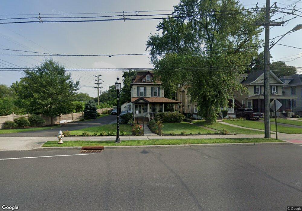
6742 Maple Ave Pennsauken, NJ 08109
Estimated Value: $362,168 - $555,000
--
Bed
--
Bath
2,778
Sq Ft
$163/Sq Ft
Est. Value
About This Home
This home is located at 6742 Maple Ave, Pennsauken, NJ 08109 and is currently estimated at $453,542, approximately $163 per square foot. 6742 Maple Ave is a home located in Camden County with nearby schools including Pennsauken High School, St. Peter Elementary School, and St. Cecilia School.
Ownership History
Date
Name
Owned For
Owner Type
Purchase Details
Closed on
Jun 13, 2007
Sold by
Sampson John C and Sampson Mary
Bought by
State Of New Jersey
Current Estimated Value
Purchase Details
Closed on
Oct 1, 1998
Sold by
Pfendner Nickolas R
Bought by
Sampson John C and Sampson Mary G
Home Financials for this Owner
Home Financials are based on the most recent Mortgage that was taken out on this home.
Original Mortgage
$130,000
Interest Rate
6.8%
Mortgage Type
VA
Create a Home Valuation Report for This Property
The Home Valuation Report is an in-depth analysis detailing your home's value as well as a comparison with similar homes in the area
Home Values in the Area
Average Home Value in this Area
Purchase History
| Date | Buyer | Sale Price | Title Company |
|---|---|---|---|
| State Of New Jersey | $5,300 | -- | |
| Sampson John C | $132,000 | -- |
Source: Public Records
Mortgage History
| Date | Status | Borrower | Loan Amount |
|---|---|---|---|
| Previous Owner | Sampson John C | $130,000 |
Source: Public Records
Tax History Compared to Growth
Tax History
| Year | Tax Paid | Tax Assessment Tax Assessment Total Assessment is a certain percentage of the fair market value that is determined by local assessors to be the total taxable value of land and additions on the property. | Land | Improvement |
|---|---|---|---|---|
| 2025 | $8,526 | $452,300 | $55,300 | $397,000 |
| 2024 | $8,361 | $195,900 | $42,500 | $153,400 |
| 2023 | $8,361 | $195,900 | $42,500 | $153,400 |
| 2022 | $7,560 | $195,900 | $42,500 | $153,400 |
| 2021 | $7,209 | $195,900 | $42,500 | $153,400 |
| 2020 | $6,954 | $195,900 | $42,500 | $153,400 |
| 2019 | $7,035 | $195,900 | $42,500 | $153,400 |
| 2018 | $7,072 | $195,900 | $42,500 | $153,400 |
| 2017 | $7,086 | $195,900 | $42,500 | $153,400 |
| 2016 | $6,958 | $195,900 | $42,500 | $153,400 |
| 2015 | $7,166 | $195,900 | $42,500 | $153,400 |
| 2014 | $7,236 | $130,100 | $23,300 | $106,800 |
Source: Public Records
Map
Nearby Homes
- 6555 Maple Ave
- 10 Church Rd
- 7320 Maple Ave Unit 231
- 4527 Arrison Ct
- 124 Ivins Ave
- 7330 Maple Ave Unit 123
- 7336 Rudderow Ave
- 7340 Maple Ave
- 202 State St
- 217 Glenwood Ave
- 210 E Maple Ave Unit A4
- 213 Wilbur Ave
- 4312 Union Ave
- 214 Barlow Ave
- 6563 Park Ave
- 7628 Rudderow Ave
- 166 Prospect St
- 710 Church Rd
- 7665 Rudderow Ave
- 6936 Cedar Ave
- 6736 Maple Ave
- 6732 Maple Ave
- 6726 Maple Ave
- 6720 Maple Ave
- 4513 Canning Ave
- 6721 Church Rd
- 4507 Canning Ave
- 6714 Maple Ave
- 4519 Canning Ave
- 4501 Canning Ave
- 6903 Maple Ave
- 6709 Church Rd
- 6901 Maple Ave
- 4525 Canning Ave
- 6735 Maple Ave
- 4531 Canning Ave
- 6703 Church Rd
- 6729 Maple Ave
- 6701 Church Rd
- 6721 Maple Ave