6745 Edge Rd Royal Oak, MD 21662
Estimated Value: $361,000 - $801,000
Studio
2
Baths
1,677
Sq Ft
$317/Sq Ft
Est. Value
About This Home
This home is located at 6745 Edge Rd, Royal Oak, MD 21662 and is currently estimated at $530,873, approximately $316 per square foot. 6745 Edge Rd is a home located in Talbot County with nearby schools including St. Michaels Elementary School, St. Michaels Middle/High School, and Easton High School.
Ownership History
Date
Name
Owned For
Owner Type
Purchase Details
Closed on
Oct 30, 2023
Sold by
Prossner David M
Bought by
Prossner David M
Current Estimated Value
Purchase Details
Closed on
Nov 17, 2005
Sold by
Prossner Ross J Trustee
Bought by
Prossner David M and Prossner Ruth Candace
Home Financials for this Owner
Home Financials are based on the most recent Mortgage that was taken out on this home.
Original Mortgage
$190,000
Interest Rate
6.06%
Mortgage Type
New Conventional
Purchase Details
Closed on
Sep 12, 2001
Sold by
Prossner R Mark
Bought by
Prossner Ross J Trustee
Purchase Details
Closed on
Apr 20, 2001
Sold by
Yi Kyom and Yi Kyungwon
Bought by
Prossner R Mark
Create a Home Valuation Report for This Property
The Home Valuation Report is an in-depth analysis detailing your home's value as well as a comparison with similar homes in the area
Purchase History
| Date | Buyer | Sale Price | Title Company |
|---|---|---|---|
| Prossner David M | -- | None Listed On Document | |
| Prossner David M | -- | None Listed On Document | |
| Prossner David M | -- | -- | |
| Prossner Ross J Trustee | $136,000 | -- | |
| Prossner R Mark | $119,000 | -- |
Source: Public Records
Mortgage History
| Date | Status | Borrower | Loan Amount |
|---|---|---|---|
| Previous Owner | Prossner David M | $190,000 |
Source: Public Records
Tax History
| Year | Tax Paid | Tax Assessment Tax Assessment Total Assessment is a certain percentage of the fair market value that is determined by local assessors to be the total taxable value of land and additions on the property. | Land | Improvement |
|---|---|---|---|---|
| 2025 | $1,562 | $313,100 | $88,500 | $224,600 |
| 2024 | $1,528 | $298,033 | $0 | $0 |
| 2023 | $1,445 | $282,967 | $0 | $0 |
| 2022 | $1,343 | $267,900 | $88,500 | $179,400 |
| 2021 | $1,281 | $267,900 | $88,500 | $179,400 |
| 2020 | $1,281 | $267,900 | $88,500 | $179,400 |
| 2019 | $1,282 | $269,100 | $93,300 | $175,800 |
| 2018 | $1,240 | $262,933 | $0 | $0 |
| 2017 | $1,184 | $256,767 | $0 | $0 |
| 2016 | $1,121 | $250,600 | $0 | $0 |
| 2015 | $1,020 | $250,600 | $0 | $0 |
| 2014 | $1,020 | $250,600 | $0 | $0 |
Source: Public Records
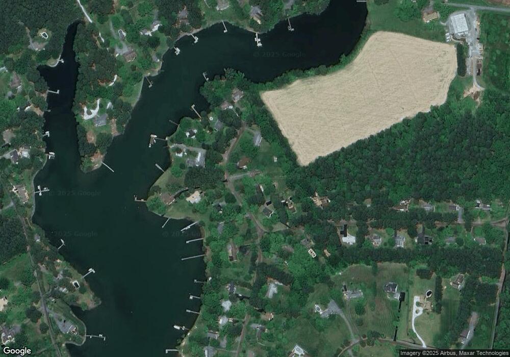
Map
Nearby Homes
- 25711 Royal Rd
- 25706 Edgeview Rd
- 6827 Bellevue Rd
- 7049 & 7047 Acorn Aly
- 7375 Station Rd
- 0 St Michaels Rd Unit MDTA2012442
- 6942 Schoolhouse Ln
- 5837 Irish Creek Rd
- 26396 St Michaels Rd
- 25832 Turner Ave
- 25831 Turner Ave
- 25833 Turner Ave
- 25835 Turner Ave
- 25826 Orchard Terrace
- 6448 Partridge Ln
- 7605 Pendleton Farm Ln
- 5440 Ferry Neck Rd
- 5499 Anderby Hall Rd
- 24977 Back Creek Dr
- 24912 Back Creek Dr
Your Personal Tour Guide
Ask me questions while you tour the home.