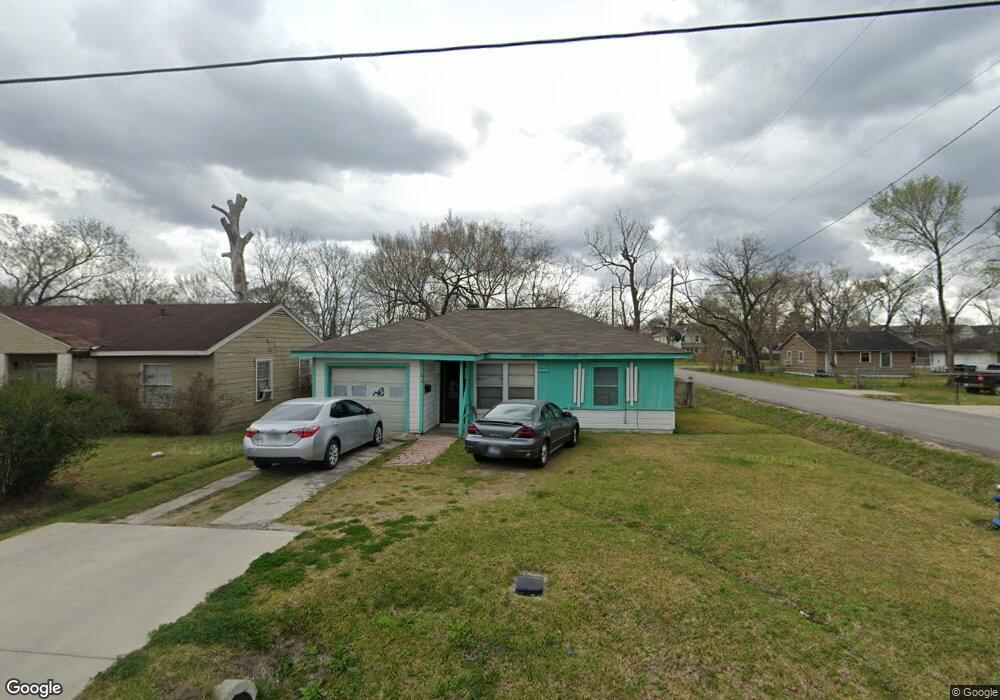
6747 New York St Houston, TX 77021
OST-South Union NeighborhoodEstimated Value: $118,074 - $172,000
2
Beds
1
Bath
745
Sq Ft
$182/Sq Ft
Est. Value
About This Home
This home is located at 6747 New York St, Houston, TX 77021 and is currently estimated at $135,769, approximately $182 per square foot. 6747 New York St is a home located in Harris County with nearby schools including Marcellus Elliot Foster Elementary, Cullen Middle School, and Yates High School.
Ownership History
Date
Name
Owned For
Owner Type
Purchase Details
Closed on
Jul 1, 2009
Sold by
Jones Florence M
Bought by
Wilson Raleigh Paul and Wilson Diana Marie
Current Estimated Value
Home Financials for this Owner
Home Financials are based on the most recent Mortgage that was taken out on this home.
Original Mortgage
$35,000
Outstanding Balance
$23,303
Interest Rate
5.71%
Mortgage Type
Seller Take Back
Estimated Equity
$112,466
Create a Home Valuation Report for This Property
The Home Valuation Report is an in-depth analysis detailing your home's value as well as a comparison with similar homes in the area
Home Values in the Area
Average Home Value in this Area
Purchase History
| Date | Buyer | Sale Price | Title Company |
|---|---|---|---|
| Wilson Raleigh Paul | -- | None Available |
Source: Public Records
Mortgage History
| Date | Status | Borrower | Loan Amount |
|---|---|---|---|
| Open | Wilson Raleigh Paul | $35,000 |
Source: Public Records
Tax History Compared to Growth
Tax History
| Year | Tax Paid | Tax Assessment Tax Assessment Total Assessment is a certain percentage of the fair market value that is determined by local assessors to be the total taxable value of land and additions on the property. | Land | Improvement |
|---|---|---|---|---|
| 2025 | $1,296 | $116,288 | $85,000 | $31,288 |
| 2024 | $1,296 | $117,157 | $85,000 | $32,157 |
| 2023 | $1,296 | $112,927 | $77,500 | $35,427 |
| 2022 | $1,287 | $105,796 | $70,000 | $35,796 |
| 2021 | $1,239 | $64,769 | $42,500 | $22,269 |
| 2020 | $1,170 | $48,323 | $27,500 | $20,823 |
| 2019 | $1,126 | $47,072 | $27,500 | $19,572 |
| 2018 | $0 | $40,451 | $22,500 | $17,951 |
| 2017 | $1,023 | $40,451 | $22,500 | $17,951 |
| 2016 | $1,023 | $40,451 | $22,500 | $17,951 |
| 2015 | $804 | $40,451 | $22,500 | $17,951 |
| 2014 | $804 | $31,278 | $12,500 | $18,778 |
Source: Public Records
Map
Nearby Homes
- 0 Ward St Unit 79606542
- 6734 Paris St Unit A-B
- 6730 Paris St Unit A/B
- 6726 Paris St Unit A-B
- 6807 Paris St
- 6815 Paris St
- 6817 Paris St
- 4512 Ward St
- 6710 New York St
- 6835 New York St
- 6824 Calhoun Rd
- 6830 New York St
- 4715 Ward St
- 6747 Liverpool St
- 6637 New York St
- 6636 New York St
- 6814 Dumble St
- 6818 Dumble St
- 4727 Idaho St
- 6805 Eastwood St
- 6743 New York St
- 0 Ward St Unit 89708493
- 4602 Ward St
- 4519 Ward St
- 6802 Paris St
- 6735 New York St
- 6738 Paris St
- 4515 Ward St
- 6802 New York St
- 6806 Paris St
- 6734 New York St
- 6731 New York St
- 6804 New York St
- 6732 New York St
- 6810 Paris St
- 6728 Paris St
- 6806 New York St
- 6747 London St
- 6727 New York St
- 6730 New York St