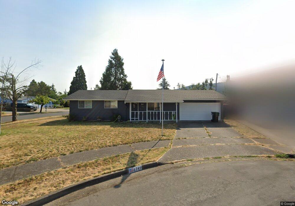
6749 A St Springfield, OR 97478
Thurston NeighborhoodEstimated Value: $345,000 - $358,227
About This Home
This home is located at 6749 A St, Springfield, OR 97478 and is currently estimated at $349,557, approximately $383 per square foot. 6749 A St is a home located in Lane County with nearby schools including Ridgeview Elementary School, Thurston Middle School, and Thurston High School.
Ownership History
We collect this data history from publicly available records. To have your information removed, we recommend requesting removal directly through your county’s website.
Purchase Details
Home Financials for this Owner
Home Financials are based on the most recent Mortgage that was taken out on this home.Home Values in the Area
Average Home Value in this Area
Purchase History
We collect this data history from publicly available records. To have your information removed, we recommend requesting removal directly through your county’s website.
| Date | Buyer | Sale Price | Title Company |
|---|---|---|---|
| $142,500 | Western Pioneer Title Co |
Mortgage History
We collect this data history from publicly available records. To have your information removed, we recommend requesting removal directly through your county’s website.
| Date | Status | Borrower | Loan Amount |
|---|---|---|---|
| Open | $114,000 |
Tax History
We collect this data history from publicly available records. To have your information removed, we recommend requesting removal directly through your county’s website.
| Year | Tax Paid | Tax Assessment Tax Assessment Total Assessment is a certain percentage of the fair market value that is determined by local assessors to be the total taxable value of land and additions on the property. | Land | Improvement |
|---|---|---|---|---|
| 2025 | $2,722 | $148,420 | ||
| 2024 | $2,678 | $144,098 | ||
| 2023 | $2,678 | $139,901 | $0 | $0 |
| 2022 | $2,480 | $135,827 | $0 | $0 |
| 2021 | $2,435 | $131,871 | $0 | $0 |
| 2020 | $2,364 | $128,031 | $0 | $0 |
| 2019 | $2,293 | $124,302 | $0 | $0 |
| 2018 | $2,162 | $117,167 | $0 | $0 |
| 2017 | $2,079 | $117,167 | $0 | $0 |
| 2016 | $2,035 | $113,754 | $0 | $0 |
| 2015 | $1,977 | $110,441 | $0 | $0 |
| 2014 | $1,947 | $107,224 | $0 | $0 |
Map
- 277 S 67th Ct
- 6616 E St
- 6450 B St
- 269 S 69th Place
- 6428 Dogwood St
- 6451 Dogwood St
- 586 S 68th Place
- 620 S 67th St
- 0 71st St
- 7077 Main St
- 6884 Forest Ridge Dr
- 6731 Thurston Rd
- 0 Forest Ridge Unit 520732026
- 277 71st Place
- 729 S 68th Place
- 155 66th St
- 468 72nd St
- 705 S 68th Place
- 6898 Thurston Rd
- 6287 Fernhill Loop
Ask me questions while you tour the home.