6749 State Highway 78 Marsing, ID 83639
Estimated Value: $590,285 - $734,000
3
Beds
2
Baths
1,704
Sq Ft
$379/Sq Ft
Est. Value
About This Home
This home is located at 6749 State Highway 78, Marsing, ID 83639 and is currently estimated at $645,321, approximately $378 per square foot. 6749 State Highway 78 is a home located in Owyhee County with nearby schools including Marsing Elementary School, Marsing Middle School, and Marsing High School.
Ownership History
Date
Name
Owned For
Owner Type
Purchase Details
Closed on
May 18, 2009
Sold by
The Bank Of New York
Bought by
Smith Tyde E
Current Estimated Value
Home Financials for this Owner
Home Financials are based on the most recent Mortgage that was taken out on this home.
Original Mortgage
$157,102
Interest Rate
5.37%
Mortgage Type
FHA
Purchase Details
Closed on
Aug 24, 2006
Sold by
Kling Dale R and Kling Rose Marie
Bought by
Zimmerman Christopher M
Home Financials for this Owner
Home Financials are based on the most recent Mortgage that was taken out on this home.
Original Mortgage
$50,558
Interest Rate
6.7%
Mortgage Type
Stand Alone Second
Create a Home Valuation Report for This Property
The Home Valuation Report is an in-depth analysis detailing your home's value as well as a comparison with similar homes in the area
Home Values in the Area
Average Home Value in this Area
Purchase History
| Date | Buyer | Sale Price | Title Company |
|---|---|---|---|
| Smith Tyde E | -- | -- | |
| Zimmerman Christopher M | -- | -- |
Source: Public Records
Mortgage History
| Date | Status | Borrower | Loan Amount |
|---|---|---|---|
| Previous Owner | Smith Tyde E | $157,102 | |
| Previous Owner | Zimmerman Christopher M | $50,558 |
Source: Public Records
Tax History Compared to Growth
Tax History
| Year | Tax Paid | Tax Assessment Tax Assessment Total Assessment is a certain percentage of the fair market value that is determined by local assessors to be the total taxable value of land and additions on the property. | Land | Improvement |
|---|---|---|---|---|
| 2024 | -- | $461,651 | $96,261 | $365,390 |
| 2023 | $1,624 | $432,931 | $96,261 | $336,670 |
| 2022 | $2,009 | $440,161 | $96,261 | $343,900 |
| 2021 | $1,461 | $299,548 | $77,198 | $222,350 |
| 2020 | $1,471 | $270,917 | $52,476 | $218,441 |
| 2019 | $1,454 | $235,997 | $52,476 | $183,521 |
| 2018 | $1,546 | $238,640 | $43,731 | $194,909 |
| 2017 | $1,390 | $222,377 | $43,731 | $178,646 |
| 2016 | $949 | $158,612 | $38,660 | $119,952 |
| 2014 | $830 | $122,709 | $31,229 | $91,480 |
| 2011 | -- | $92,227 | $17,113 | $75,114 |
Source: Public Records
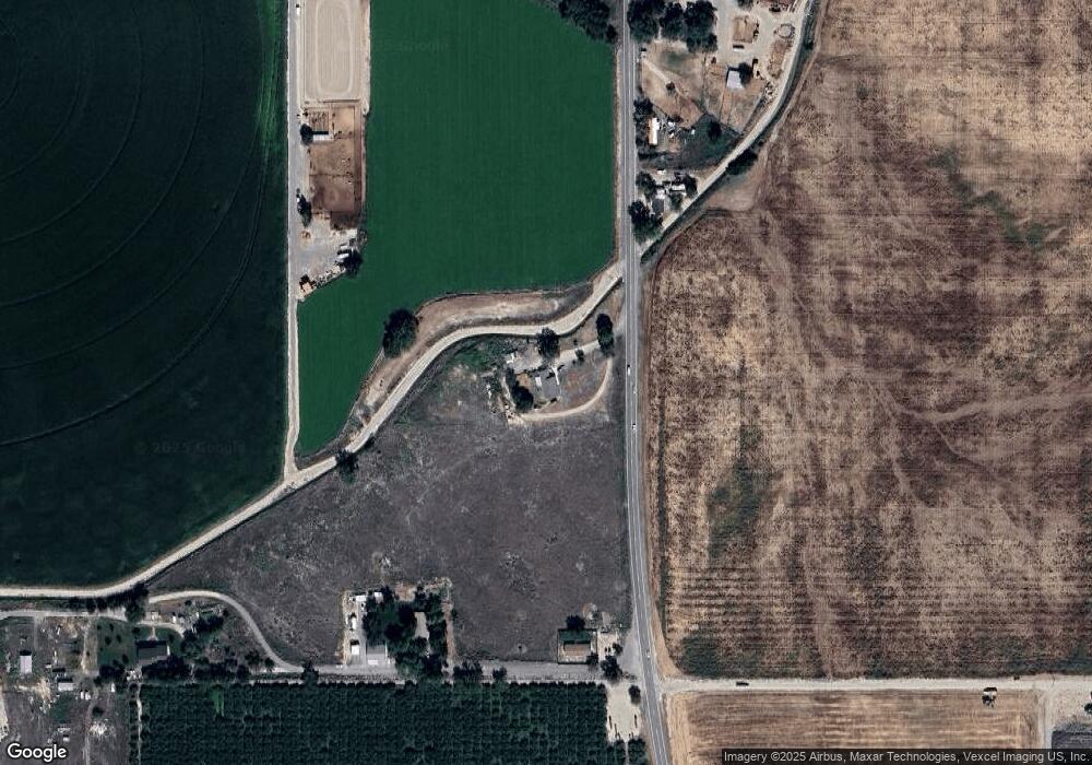
Map
Nearby Homes
- 6708 Sunset Ln
- 7253 Riverview Dr
- 309 River View Dr
- TBD Canal St
- 311 Riverview Dr
- 224 Motzko St
- 8142 Us Highway 95
- 928 W Main St
- Poison Creek Rd
- 405 Live Oak Ave
- 20056 Sunny Slope Rd
- TBD Island View Dr - Lot 1
- TBD Island View Dr - Lot 2
- 540 Morning Dove Way
- 8662 State Highway 78
- TBD N Bruneau Rd
- TBD Blue Fox Ln
- TBD Oak River Ln
- 11326 W Rio Rd
- 0 Sage View Ln Parcel 2
- 6706 State Highway 78
- 6706 State Highway 78
- 6706 State Highway 78
- 6749 Hwy 78
- 6750 Gold Buckle Way
- 6646 Morris Hill Rd
- 6357 Howard Rd
- 6513 Howard Rd
- 6532 Howard Rd
- 6609 Morris Hill Rd
- 6342 Howard Rd
- 6666 State Highway 78
- 6450 State Highway 78
- 6509 State Highway 78
- 6560 State Highway 78
- 6483 State Highway 78
- 6450 State Highway 78
- 6509 State Highway 78
- 6450 State Highway 78
- 6450 State Highway 78